Lastberg is a climb in the region Hageland. It is 0.7 km long and bridges 39 m of vertical ascent with an average gradient of 5.6%, resulting in a difficulty score of 23. The top of the ascent is located at 103 m above sea level. Climbfinder users shared 5 reviews of this climb and uploaded 5 photos.
Road name: Lastberg
3.0 by MigoEA nice climb pretty steep, look out for cyclists coming the other way, not a lot of traffic a good road, it's starts down in the fields and brings you up towards Pellenberg.... read more
Welcome! Please activate your account if you would like to share something. Look for the verification email in your inbox.
If you want to upload your photos, you need to create an account. It only takes 1 minute and it's completely free.
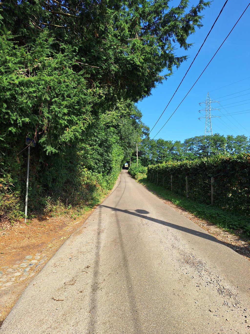
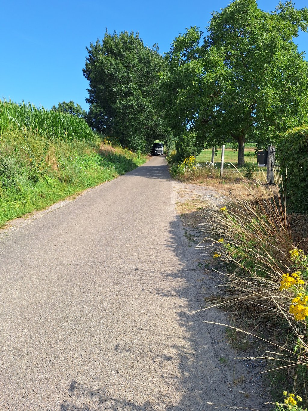
Very nice climb winding uphill. Largest part on decent tarmac, but the last part on concrete slabs. Can hurt if you've gone a bit too fast before. Fairly narrow road without good visibility behind bends, so watch out for oncoming traffic.
Heel mooie klim die omhoog kronkelt. Grootste deel over degelijk asfalt, maar het laatste stuk over betonplaten. Kan pijn doen als je voordien al wat te hard gegaan bent. Vrij smalle weg zonder goed zicht achter bochten, dus oppassen voor tegenliggers.
Lovely climb! It's quite steep and towards the end it gets steeper. Not so steep that it is raking, no just a nice resistance! And it's quiet in terms of traffic. In short, pleasantly nice stomping while being in a nice quiet area.
Heerlijke klim! Het is best steil en naar het einde wordt het steiler. Niet zo steil dat het harken is, nee gewoon een lekkere weerstand! En het is rustig qua verkeer. Kortom, aangenaam lekker stampen terwijl je in een mooie rustige omgeving bent.
Very nice slope in the Hageland. I had never done this one before. Am glad I got to know it.
Slope on a narrow road with little traffic. Seems plucked right out of the Flemish Ardennes.
Foot of the slope is at a sandstone quarry. There, watch out for gravel on the roadway. Overlooking the Pellenberg campus.
In the beginning, there are blind bends every time. You can't see what's coming from the other direction. So the slope does progress quickly.
The most difficult part is at the end. It's not too steep.
Erg leuke helling in het Hageland. Ik had deze nog nooit gedaan. Ben blij dat ik hem leren kennen heb.
Helling op een smal weggetje met weinig verkeer. Lijkt zo geplukt uit de Vlaamse Ardennen.
Voet van de helling is aan een zandsteengroeve. Daar opletten voor grind op de rijbaan. Met uitzicht op de campus van Pellenberg.
In het begin zijn er telkens blinde bochten. Je ziet niet wat er uit de andere richting komt. Zo gaat de helling wel snel vooruit.
Het lastigste stuk is op het einde. Valt goed mee en nergens te steil.
Not very steep at all and not very hard, but the narrow road swings nicely uphill through several curves.
Almost at the top you can turn right into the narrow road with the sign with street name Lastberg making the climb 200 longer.
A must if you're in the area and a tip for those with a mountain bike or gravel bike rides, you can from the Herendaal (150 meters before the stables) left the fun and steep descent to the foot of the Lastberg take.
Best een leuke beklimming, nergens steil en zeker niet zwaar maar de smalle weg slingert leuk naar boven via verschillende bochten.
Bijna boven kan je nog naar rechts het smalle weggetje met het bord met straatnaam Lastberg waardoor de klim nog 200 langer wordt.
Een aanrader als je in de buurt ben en een tip voor wie met een mountainbike of gravelfiets rijdt, je kan vanaf de Herendaal ( 150 meter voor de paardenmanege ) links de leuke en steile afdaling naar de voet van de Lastberg nemen.
| 7 km/h | 00:05:57 |
| 11 km/h | 00:03:47 |
| 15 km/h | 00:02:47 |
| 19 km/h | 00:02:11 |
This page is better in the app