Sysselt is a climb in the region Ede & Wageningen. It is 0.6 km long and bridges 18 m of vertical ascent with an average gradient of 3%, resulting in a difficulty score of 7. The top of the ascent is located at 52 m above sea level. Climbfinder users shared 3 reviews of this climb and uploaded 3 photos.
This is an automatic translation, the original language is: Dutch.
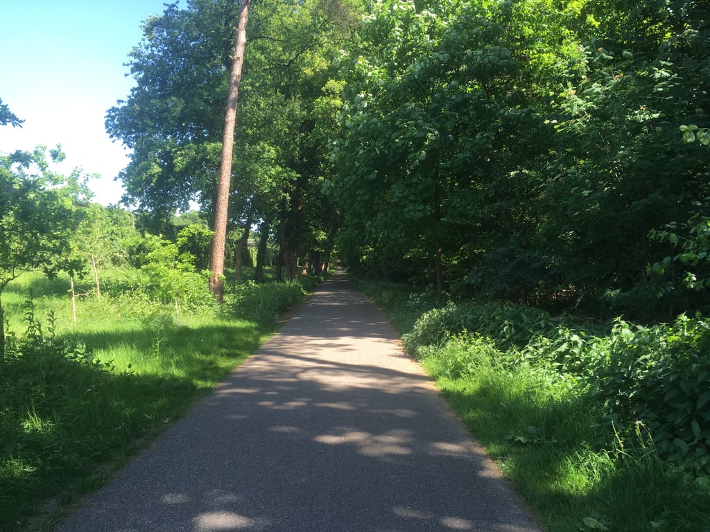
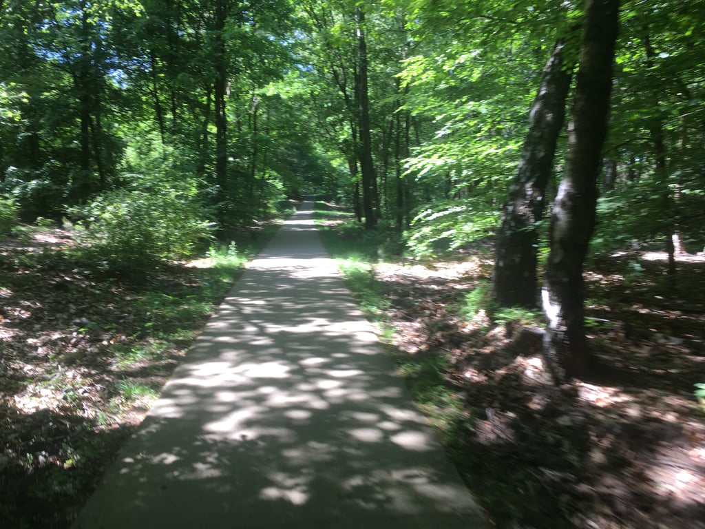
Bike path through the forest, it's quite busy here. So wouldn't do it anytime soon on weekends. Underground is very good though and the surroundings are beautiful. Because of the wooded surroundings, sometimes it doesn't really seem like a climb but more false flat....read more
Photos (3)
Welcome! Please activate your account if you would like to share something. Look for the verification email in your inbox.
This is an automatic translation, the original language is: Dutch.
Show original
Bike path through the forest, it's quite busy here. So wouldn't do it anytime soon on weekends. Underground is very good though and the surroundings are beautiful. Because of the wooded surroundings, sometimes it doesn't really seem like a climb but more false flat.
Fietspad door het bos, het is best druk hier. Zou het dan ook niet snel doen in het weekend. Ondergrond is wel zeer goed en de omgeving is mooi. Door de bosrijke omgeving lijkt het soms niet echt een klim maar meer vals plat.
This is an automatic translation, the original language is: Dutch.
Show original
Very nicely situated cycle path. This part is in the desire of a long and beautiful route from Renkum. Surface of concrete which is nice. However, high edges so swerve outside the narrow path is difficult.
Zeer fraai gelegen fietspad. Dit gedeelte ligt in het verlangde van een lang en mooi traject vanuit Renkum. Ondergrond van beton wat lekker loopt. Wel hoge randjes dus uitwijken buiten het smalle pad wordt lastig. het is dus oppassen met drukte.
This is an automatic translation, the original language is: Dutch.
Show original
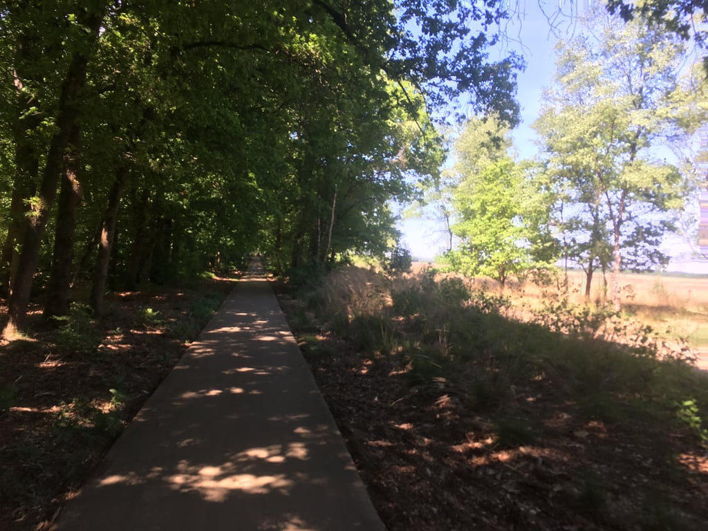
Beautiful bike path, along the heath and through the woods of the Sijsselt near Ede. Far from heavy, although after a heavy night you may have trouble with the small bend in the forest.
Not for beautiful sunny Saturdays or Sundays. Then it is much too crowded with recreational cyclists; and after all, it is and remains a bicycle path...
Prachtig fietspad, langs de heide en door het bos van de Sijsselt bij Ede. Verre van zwaar, al zal je, na een zware nacht, we moeite hebben met het knikje in het bos.
Niet voor op mooie, zonnige zaterdagen of zondagen. Dan is het hier veel te druk met recreatieve fietsers; en het is en blijft tenslotte een fietspad...
Share your knowledge. What was the road condition during your ascent?
Traffic
100% 0% 0%
Based on 1 vote
Your experience counts. How much traffic did you encounter during the climb?
Frequently Asked Questions
You don't need special gearing for Sysselt. The slope isn't long or steep enough to require much shifting down. You can conquer this climb on power alone. However, a compact gearing system with a smallest front chainring of 34 and largest rear sprocket of 28 or 30 is always nice if you enjoy cycling uphill. This helps maintain a smooth cadence.
Sysselt is not tough enough to be assigned a mountain category. This means that even untrained cyclists can reach the top without any problems on this climb.
Sysselt is 0.6 km long.
The average gradient of Sysselt is 3%.
Sysselt has a steepest segment with an average gradient of 5.4%.
The summit of Sysselt is at 52 m.
At a slow pace of 7 km/h, it takes about 00:05:04 to climb Sysselt. At 11 km/h the time is 00:03:14, and at 15 km/h 00:02:22. For the fastest cyclists, 00:01:52 is an achievable time.