View on map
© MapLibre | OpenStreetMap contributors
1%
2%
4%
6%
8%
10%
12%
15%
20%

Konijnenberg via Rommelaar

3.3
3 reviews | Elevation profile | 1 photo
Tips nearby
Konijnenberg via Rommelaar
transparant thumb
transparant thumb
transparant thumb
transparant thumb
transparant thumb
transparant thumb
transparant thumb
Your achievable time
Calculating based on your best performances...
Relaxed
Maximum
W/kg
W/kg
W/kg
Analyse your climbing performance
Detailed insight into your climbing performance & automatically check off climbs
Based on your best performances.
Your best attempt:
Number of attempts:
Elevation profile Konijnenberg via Rommelaar

Statistics

Difficulty points 7
Length 0.8 km
Average gradient 2.4%
Steepest 100 metres 7%
Total ascent 19 m
Feedback about this climb?
Show climbs nearby Export to GPS device

Konijnenberg via Rommelaar is a climb in the region Hageland. It is 0.8 km long and bridges 19 m of vertical ascent with an average gradient of 2.4%, resulting in a difficulty score of 7. The top of the ascent is located at 33 m above sea level. Climbfinder users shared 3 reviews of this climb and uploaded 1 photo.

Road name: Rommelaar
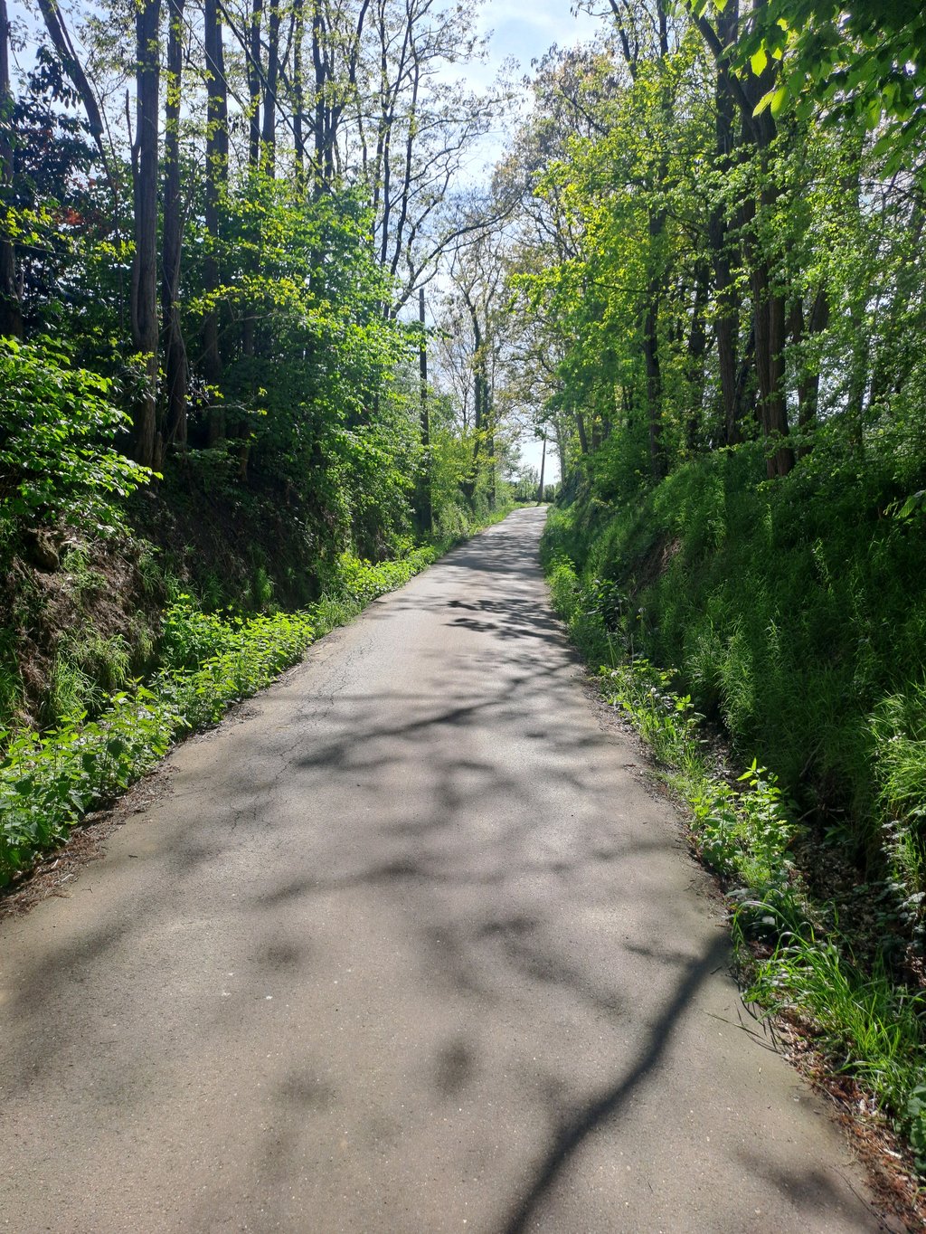
This is an automatic translation, the original language is: Dutch.
Very nice climb learnt here. A lot of turning and twisting, though. When I was at speed, I had to slow down and then accelerate again after the turn. They are narrow tarmac roads so always hope there is no oncoming traffic. Certainly not a difficult slope. You can climb it with a large gear. This is followed by a descent with, in my opinion, one of the best views of the area. With some imagination, it is true that you are riding in Austria, according to a predecessor here :)... read more

Photos (1)

Konijnenberg via Rommelaar
transparant thumb
transparant thumb
transparant thumb
transparant thumb
transparant thumb

Your uploads (max 4)

Welcome! Please activate your account if you would like to share something. Look for the verification email in your inbox.

If you want to upload your photos, you need to create an account. It only takes 1 minute and it's completely free.

  • Receive free climbfinder goodies for your reviews & photos.
  • Create a bucket list and check off conquered climbs.
  • Add missing climbs.
Continue with GoogleContinue with Google Continue with FacebookContinue with Facebook Continue with AppleContinue with Apple Sign up with email
By signing up you agree to our terms of service and confirm that you have read our privacy & content policy.

Reviews (3)

5.0
4.0
3.0
2.0
1.0
Glen_Solana
1 Mo 4.0 00:01:24 (33.1 km/h)
This is an automatic translation, the original language is: Dutch. Show original

Very nice climb learnt here.
A lot of turning and twisting, though. When I was at speed, I had to slow down and then accelerate again after the turn. They are narrow tarmac roads so always hope there is no oncoming traffic.
Certainly not a difficult slope. You can climb it with a large gear.
This is followed by a descent with, in my opinion, one of the best views of the area. With some imagination, it is true that you are riding in Austria, according to a predecessor here :)

Hele leuke klim leren kennen hier.
Wel heel wat keren en draaien. Wanneer ik op snelheid was, moest ik telkens wat afremmen en nadien terug optrekken, na de bocht. Het zijn smalle asfaltwegjes dus altijd wel hopen dat er geen tegenligger is.
Zeker geen lastige helling. Je kan er met een groot verzet op.
Nadien volgt een afdaling met, vind ik, één van de geweldigste uitzichten van de omgeving. Met wat fantasie klopt het wel dat je in Oostenrijk rijdt, volgens een voorganger hier :)

Dashboard
Andre
1 Mo 3.0
This is an automatic translation, the original language is: Dutch. Show original

Nice little climb in very nice surroundings. The narrow road surface and twists and turns make you feel like you're in Austria but of course the gradients and length contradict this but always fun to cycle there.

Leuk klimmetje in een zeer mooie omgeving. Het smalle wegdek en de kronkelingen geven je het gevoel dat je in Oostenrijk zit maar de stijgingspercentages en lengte spreken dit natuurlijk tegen maar altijd leuk om er te fietsen.

Dashboard
Fun
2 y 3.0

You start with the hardest part. After this, it is very easy.

Dashboard

Climbing times

7 km/h 00:06:37
11 km/h 00:04:12
15 km/h 00:03:05
19 km/h 00:02:26

Road surface condition

100% 0% 0%
Based on 4 votes
Share your knowledge. What was the road condition during your ascent?

Traffic

75% 25% 0%
Based on 4 votes
Your experience counts. How much traffic did you encounter during the climb?

Frequently Asked Questions

Konijnenberg can be cycled from 4 sides. Konijnenberg via Wijnberg is the most popular side, but the summit can also be reached via Konijnenberg via Rommelaar, Rommelaar from Rillaar & Rommelaar from Rommelaar.

You don't need special gearing for Konijnenberg via Rommelaar. The slope isn't long or steep enough to require much shifting down. You can conquer this climb on power alone. However, a compact gearing system with a smallest front chainring of 34 and largest rear sprocket of 28 or 30 is always nice if you enjoy cycling uphill. This helps maintain a smooth cadence.

Konijnenberg via Rommelaar is not tough enough to be assigned a mountain category. This means that even untrained cyclists can reach the top without any problems on this climb.

Konijnenberg via Rommelaar is 0.8 km long.

The average gradient of Konijnenberg via Rommelaar is 2.4%.

Konijnenberg via Rommelaar has a steepest segment with an average gradient of 7%.

The summit of Konijnenberg via Rommelaar is at 33 m.

At a slow pace of 7 km/h, it takes about 00:06:37 to climb Konijnenberg via Rommelaar. At 11 km/h the time is 00:04:12, and at 15 km/h 00:03:05. For the fastest cyclists, 00:02:26 is an achievable time.

Konijnenberg via Rommelaar is located in the region Flemish Brabant in Belgium.

This page is better in the app

Climbfinder app
Climbfinder
(Free)
Open