Kapelleberg is a climb in the region Flemish Ardennes. It is 1.1 km long and bridges 65 m of vertical ascent with an average gradient of 5.9%, resulting in a difficulty score of 47. The top of the ascent is located at 93 m above sea level. Climbfinder users shared 6 reviews of this climb and uploaded 3 photos.
Road name: Kapelleberg
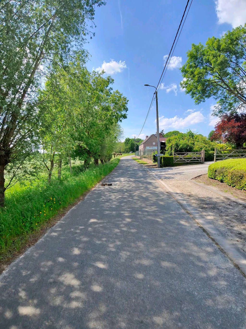
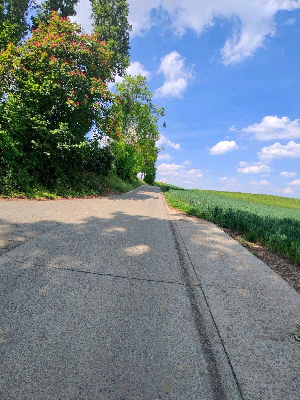
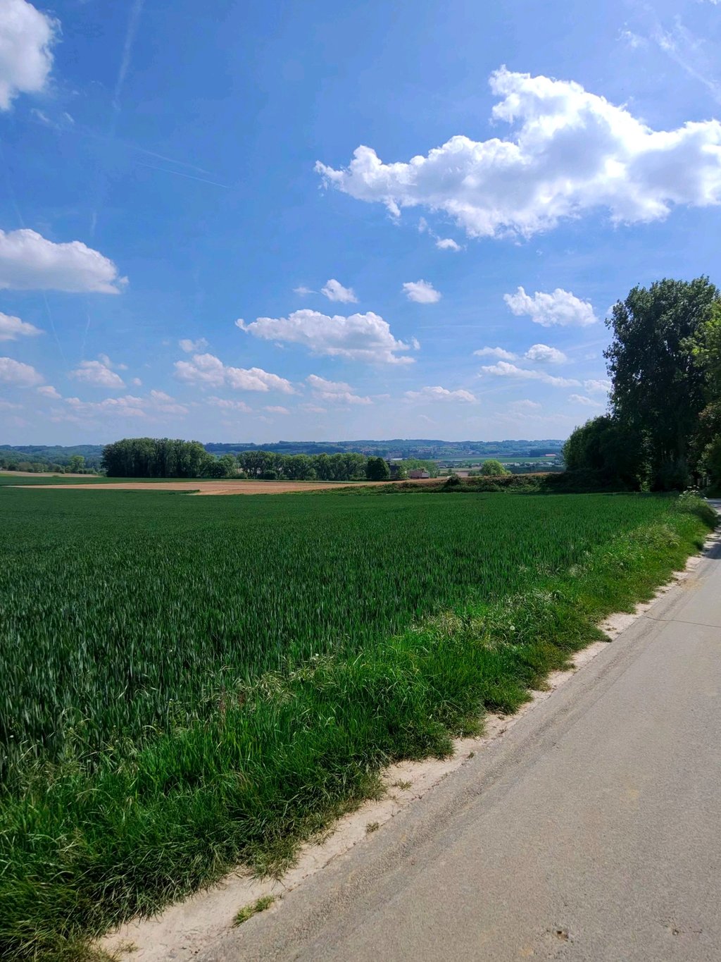
5.0 by Maikel1989This is an automatic translation, the original language is: Dutch.Top climb for those who don't necessarily want the hardest gradient but the most beautiful scenery. You ride through beautiful open countryside, behind you there are great views. You also pass an old monastery. The climb itself is still tricky enough to make it sportingly interesting too.... read more
Welcome! Please activate your account if you would like to share something. Look for the verification email in your inbox.
If you want to upload your photos, you need to create an account. It only takes 1 minute and it's completely free.
Top climb for those who don't necessarily want the hardest gradient but the most beautiful scenery. You ride through beautiful open countryside, behind you there are great views. You also pass an old monastery. The climb itself is still tricky enough to make it sportingly interesting too.
Topklim voor degenen die niet per se de moeilijkste helling willen maar wel het mooiste landschap. Je rijdt door mooi open landschap, achter je is er een mooi uitzicht. Je passeert ook nog een oud klooster. De klim zelf is nog steeds lastig genoeg om het ook sportief interessant te maken.
I really liked this climb because it is really in a beautiful landscape. Reminded me of the Limburg hills and the climbs there. A bit of Fromberg feeling I got there.
Ik vond dit een hele mooie beklimming omdat hij echt in een mooi landschap ligt. Deed me denken aan de Limburgse heuvels en de beklimmingen daar. Een beetje Fromberg gevoel kreeg ik er.
A personal favourite because of the natural spring at the foot of the climb, an ideal place to fill up the water bottles with fresh spring water on a hot day,
Een persoonlijke favoriet vanwege de natuurlijke bron aan de voet van de klim, een ideale plek om de bidons op te vullen met fris bronwater op een warme dag,
Nice, quiet climb with two hard sections just before and after the Sint-Vincentius chapel.
On the road the end of the climb was marked at this chapel, while one of the heavier parts is still after this chapel in the direction of the N8. Most of the hikers probably climb half of the mountain and then turn left towards the Kokerellestraat.
Mooie, rustige klim met twee zware stukken juist voor en na de Sint-Vincentiuskapel.
Op het wegdek was het einde van de klim aangeduid ter hoogte van deze kapel, terwijl één van de zwaardere stukken nog hierna richting de N8 ligt. Vermoedelijk rijden de meeste tochten de helft van de berg op en slaan dan linksaf richting Kokerellestraat.
The foot coincides with the foot of the nearby twin brother Boigneberg, also at the top both roads converge.
The climbs differ from each other though. The Kapelleberg is less steep than the Boigneberg in the beginning but has a second steep part beyond the beautiful chapel. Ideal for less trained cyclists to get loose and continue towards the N8.
De voet valt samen met de voet van de nabijgelegen tweelingbroer Boigneberg, ook boven komen beide wegen samen.
De klimmen verschillen wel van elkaar. De Kapelleberg is minder steil dan de Boigneberg in het begin maar heeft voorbije de mooie kapel nog een tweede steile stukje. Ideaal om minder getrainde fietsers los te rijden en door te trekken richting de N8.
Why such a low rating for this slope? Today I rode up from the village of Maarke-Kerkem (a slightly nicer route than this 'official' one, in my opinion) and climbed a nice quiet path. Not the most beautiful in the region, but definitely worth more than the one thumb it gets now.
Waarom zo'n lage waardering voor deze helling? Vandaag vanuit het dorp Maarke-Kerkem op gereden (net een iets leukere route dan deze 'officiele' vind ik) en over een mooi rustig pad naar boven gereden. Niet de mooiste in de regio, maar zeker meer waard dan de ene duim die het nu krijgt.
| 7 km/h | 00:09:28 |
| 11 km/h | 00:06:01 |
| 15 km/h | 00:04:25 |
| 19 km/h | 00:03:29 |
This page is better in the app