Kalmit from Maikammer is a climb in the region Palatinate Forest / Haardt. It is 7 km long and bridges 466 m of vertical ascent with an average gradient of 6.7%, resulting in a difficulty score of 343. The top of the ascent is located at 644 m above sea level. Climbfinder users shared 1 review/story of this climb and uploaded 1 photo.
This is an automatic translation, the original language is: French.
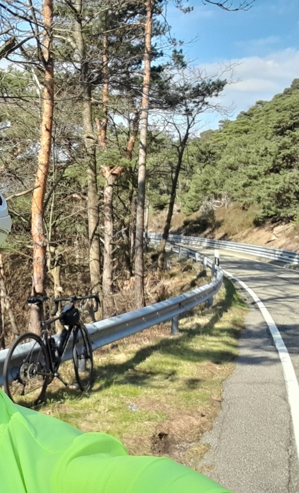
At the end of the vineyard you enter the forest, the slope becomes steeper but remains very regular. The road is in very good condition until you reach the junction leading to the Kalmit car park, where you should be careful on the return journey.
The ascent does not end at the car park; you have to go around the service road barrier, which is more suitable for gravel, to reach the Kalmitaus chalet after 600 m at an altitude of 672 m, where you can buy supplies (visit the Kalmitaus website fo...read more
Photos (1)
Welcome! Please activate your account if you would like to share something. Look for the verification email in your inbox.
This is an automatic translation, the original language is: French.
Show original
At the end of the vineyard you enter the forest, the slope becomes steeper but remains very regular. The road is in very good condition until you reach the junction leading to the Kalmit car park, where you should be careful on the return journey.
The ascent does not end at the car park; you have to go around the service road barrier, which is more suitable for gravel, to reach the Kalmitaus chalet after 600 m at an altitude of 672 m, where you can buy supplies (visit the Kalmitaus website for opening times).
The "Weizenbier" will refresh the "moteur", but it is above all the view over the Rhine plain that is magnificent.
Avoid weekends and public holidays, when both the road and the chalet are very busy.
A la sortie du vignoble on rentre dans la forêt, la pente s'accentue pour rester très régulière, la route est en très bon état jusqu'à l'embranchement qui mène au parking du Kalmit ou il vaut mieux être prudent lors du retour .
L'ascension ne se termine pas au parking, il faut contourner la barrière du chemin de service plutôt destiné au gravel pour atteindre après 600m le chalet du Kalmithaus à 672 m d'altitude où il sera possible de se ravitailler. ( visiter le site "Kalmithaus" pour les horaires d'ouverture )
La "Weizenbier" rafraichira le "moteur", mais c'est surtout la vue sur la plaine du Rhin qui est magnifique.
A éviter les week-end et jours fériés où aussi bien la route que le chalet sont très fréquentés.
Kalmit from Maikammer is a challenging ascent. For this type of climbing, we recommend mountain gearing, specifically a compact system. This means a small front chainring of 34 teeth, combined with a rear cassette where, depending on your level, strength, and experience, you choose a sprocket with 30, 32, or even 34 teeth. Remember that a smooth cadence is always more efficient!
Kalmit from Maikammer is a serious climb and falls into the 2nd category. With a good basic fitness level, even without much cycling experience, you can complete this climb just fine. However, a bike with climbing gears is a must. Without experience or training, it will be really tough – but that’s part of the challenge!
Kalmit from Maikammer is 7 km long.
The average gradient of Kalmit from Maikammer is 6.7%.
Kalmit from Maikammer has a steepest segment with an average gradient of 12.5%.
The summit of Kalmit from Maikammer is at 644 m.
At a slow pace of 7 km/h, it takes about 00:59:56 to climb Kalmit from Maikammer. At 11 km/h the time is 00:38:08, and at 15 km/h 00:27:58. For the fastest cyclists, 00:22:04 is an achievable time.