View on map
© MapLibre | OpenStreetMap contributors
1%
2%
4%
6%
8%
10%
12%
15%
20%

Kalenberg from Malendries

2.0
1 review/story | Elevation profile | 1 photo
Tips nearby
Kalenberg from Malendries
transparant thumb
transparant thumb
transparant thumb
transparant thumb
transparant thumb
transparant thumb
transparant thumb
Your achievable time
Calculating based on your best performances...
Relaxed
Maximum
W/kg
W/kg
W/kg
Analyse your climbing performance
Detailed insight into your climbing performance & automatically check off climbs
Based on your best performances.
Your best attempt:
Number of attempts:
Elevation profile Kalenberg from Malendries

Statistics

Difficulty points 5
Length 0.6 km
Average gradient 2.9%
Steepest 100 metres 3.9%
Total ascent 16 m
Feedback about this climb?
Show climbs nearby Export to GPS device

Kalenberg from Malendries is a climb in the region Hageland. It is 0.6 km long and bridges 16 m of vertical ascent with an average gradient of 2.9%, resulting in a difficulty score of 5. The top of the ascent is located at 80 m above sea level. Climbfinder users shared 1 review/story of this climb and uploaded 1 photo.

Road names: Malendriesstraat & Kalenberg
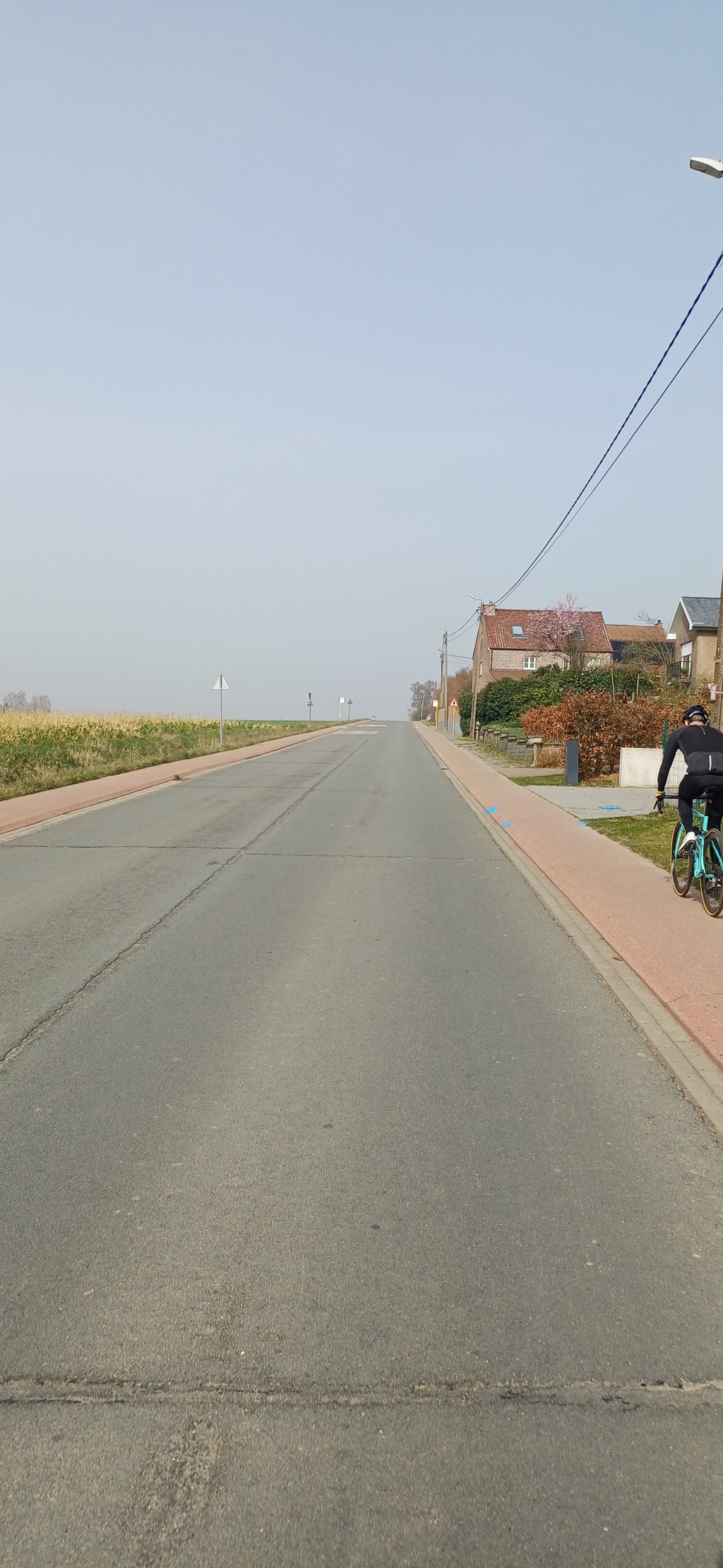
This is an automatic translation, the original language is: Dutch.
Slightly uphill street, nothing special. The cycle path next to the road is still new and in good condition... read more

Photos (1)

Kalenberg from Malendries
transparant thumb
transparant thumb
transparant thumb
transparant thumb
transparant thumb

Your uploads (max 4)

Welcome! Please activate your account if you would like to share something. Look for the verification email in your inbox.

If you want to upload your photos, you need to create an account. It only takes 1 minute and it's completely free.

  • Receive free climbfinder goodies for your reviews & photos.
  • Create a bucket list and check off conquered climbs.
  • Add missing climbs.
Continue with GoogleContinue with Google Continue with FacebookContinue with Facebook Continue with AppleContinue with Apple Sign up with email
By signing up you agree to our terms of service and confirm that you have read our privacy & content policy.

Reviews (1)

5.0
4.0
3.0
2.0
1.0
JorritPaesen
3 Mo 2.0 via the Climbfinder app
This is an automatic translation, the original language is: Dutch. Show original

Slightly uphill street, nothing special. The cycle path next to the road is still new and in good condition

Licht oplopende straat, niets bijzonders. Het fietspad naast de weg is nog nieuw en in goede staat

Dashboard

Climbing times

7 km/h 00:04:48
11 km/h 00:03:03
15 km/h 00:02:14
19 km/h 00:01:46

Road surface condition

0% 0% 0%
Based on 0 votes
Share your knowledge. What was the road condition during your ascent?

Traffic

0% 0% 0%
Based on 0 votes
Your experience counts. How much traffic did you encounter during the climb?

Frequently Asked Questions

You don't need special gearing for Kalenberg from Malendries. The slope isn't long or steep enough to require much shifting down. You can conquer this climb on power alone. However, a compact gearing system with a smallest front chainring of 34 and largest rear sprocket of 28 or 30 is always nice if you enjoy cycling uphill. This helps maintain a smooth cadence.

Kalenberg from Malendries is not tough enough to be assigned a mountain category. This means that even untrained cyclists can reach the top without any problems on this climb.

Kalenberg from Malendries is 0.6 km long.

The average gradient of Kalenberg from Malendries is 2.9%.

Kalenberg from Malendries has a steepest segment with an average gradient of 3.9%.

The summit of Kalenberg from Malendries is at 80 m.

At a slow pace of 7 km/h, it takes about 00:04:48 to climb Kalenberg from Malendries. At 11 km/h the time is 00:03:03, and at 15 km/h 00:02:14. For the fastest cyclists, 00:01:46 is an achievable time.

Kalenberg from Malendries is located in the region Flemish Brabant in Belgium.

This page is better in the app

Climbfinder app
Climbfinder
(Free)
Open