View on map
© MapLibre | OpenStreetMap contributors
1%
2%
4%
6%
8%
10%
12%
15%
20%

Javornik from Kolárovice

0 reviews | Elevation profile | 4 photos
Javornik from Kolárovice
transparant thumb
transparant thumb
transparant thumb
transparant thumb
Your achievable time
Calculating based on your best performances...
Relaxed
Maximum
W/kg
W/kg
W/kg
Analyse your climbing performance
Detailed insight into your climbing performance & automatically check off climbs
Based on your best performances.
Your best attempt:
Number of attempts:
Elevation profile Javornik from Kolárovice

Statistics

Difficulty points 243
Length 10.5 km
Average gradient 4.2%
Steepest 100 metres 8.7%
Total ascent 439 m

Short recap

#91 toughest climb of Slovakia
#100 most elevation gain of Western Carpathians
#75 longest climb of Western Carpathians
#44 average steepest climb of Slovak-Moravian Carpathians
Feedback about this climb?
Show climbs nearby Export to GPS device

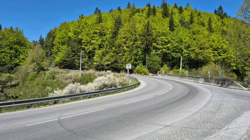
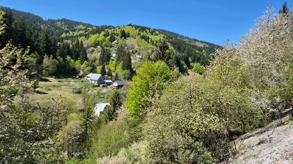
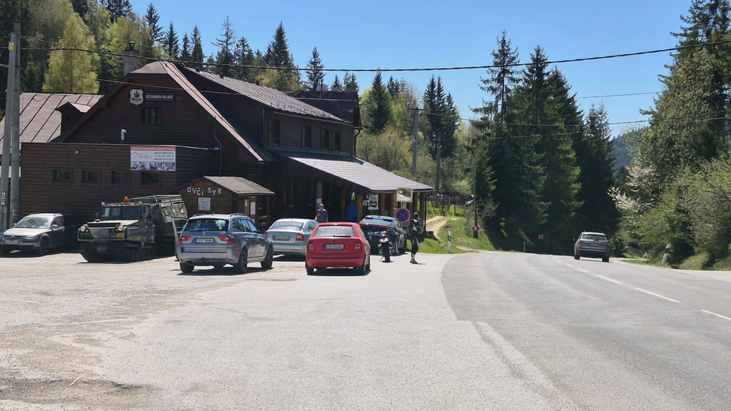
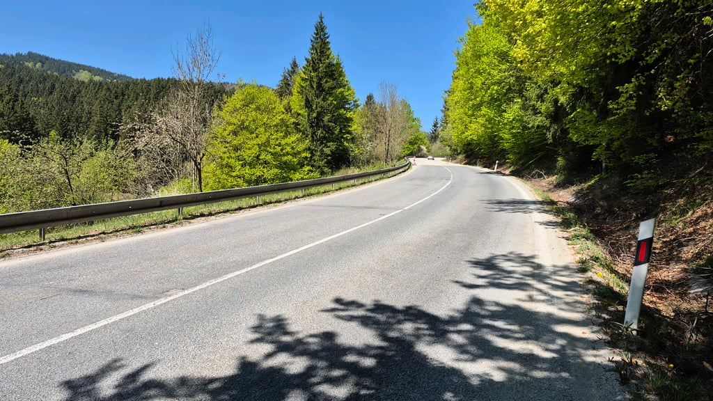
Javornik from Kolárovice is a climb in the region Slovak-Moravian Carpathians. It is 10.5 km long and bridges 439 m of vertical ascent with an average gradient of 4.2%, resulting in a difficulty score of 243. The top of the ascent is located at 812 m above sea level. Climbfinder users shared 0 reviews of this climb and uploaded 4 photos.

Photos (4)

Javornik from Kolárovice
transparant thumb
transparant thumb

Your uploads (max 4)

Welcome! Please activate your account if you would like to share something. Look for the verification email in your inbox.

If you want to upload your photos, you need to create an account. It only takes 1 minute and it's completely free.

  • Receive free climbfinder goodies for your reviews & photos.
  • Create a bucket list and check off conquered climbs.
  • Add missing climbs.
Continue with GoogleContinue with Google Continue with FacebookContinue with Facebook Continue with AppleContinue with Apple Sign up with email
By signing up you agree to our terms of service and confirm that you have read our privacy & content policy.

Reviews (0)

5.0
4.0
3.0
2.0
1.0

Climbing times

7 km/h 01:29:43
11 km/h 00:57:05
15 km/h 00:41:52
19 km/h 00:33:03

Road surface condition

0% 0% 0%
Based on 0 votes
Share your knowledge. What was the road condition during your ascent?

Traffic

0% 0% 0%
Based on 0 votes
Your experience counts. How much traffic did you encounter during the climb?

Frequently Asked Questions

Javornik can be cycled from 2 sides. Javornik from Kolárovice is the most popular side, but the summit can also be reached via Javornik from Makov.

You don't need special gearing for Javornik from Kolárovice. The slope isn't long or steep enough to require much shifting down. You can conquer this climb on power alone. However, a compact gearing system with a smallest front chainring of 34 and largest rear sprocket of 28 or 30 is always nice if you enjoy cycling uphill. This helps maintain a smooth cadence.

Javornik from Kolárovice is a 3rd-category climb. Almost anyone can handle this climb, as long as you have a bike with climbing gears. If you have little training, you will probably need to shift down significantly. For experienced riders, Javornik from Kolárovice is not a problem.

Javornik from Kolárovice is 10.5 km long.

The average gradient of Javornik from Kolárovice is 4.2%.

Javornik from Kolárovice has a steepest segment with an average gradient of 8.7%.

The summit of Javornik from Kolárovice is at 812 m.

At a slow pace of 7 km/h, it takes about 01:29:43 to climb Javornik from Kolárovice. At 11 km/h the time is 00:57:05, and at 15 km/h 00:41:52. For the fastest cyclists, 00:33:03 is an achievable time.

Javornik from Kolárovice is located in the region in Slovakia.

This page is better in the app

Climbfinder app
Climbfinder
(Free)
Open