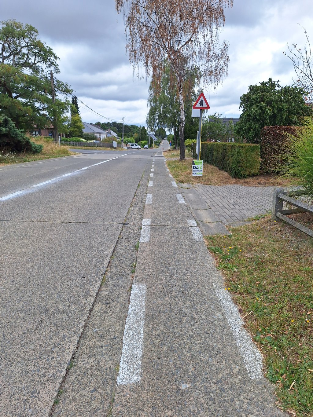
Houwaartstraat from Linden is a climb in the region Hageland. It is 0.8 km long and bridges 37 m of vertical ascent with an average gradient of 4.5%, resulting in a difficulty score of 18. The top of the ascent is located at 75 m above sea level. Climbfinder users shared 2 reviews of this climb and uploaded 5 photos.
Road name: Houwaartstraat
2.0 by AndreThis is an automatic translation, the original language is: Dutch.Indeed a not so nice ascending broad track . They were working on it today so it was less crowded but the Steenveld that runs next to it for 150 meters is so much nicer and also steeper and quieter.... read more
Welcome! Please activate your account if you would like to share something. Look for the verification email in your inbox.
If you want to upload your photos, you need to create an account. It only takes 1 minute and it's completely free.
Indeed a not so nice ascending broad track . They were working on it today so it was less crowded but the Steenveld that runs next to it for 150 meters is so much nicer and also steeper and quieter.
Inderdaad een niet zo mooie oplopende brede baan . Men was er vandaag aan het werken waardoor het er minder druk was maar het Steenveld dat er 150 meter naast loopt is zoveel leuker en ook steiler en boven rustiger .
Busy and dangerous road due to very bad cycle path; if you want to go up here you'd better go along the parallel, quiet and shady Steenveldstraat.
Drukke en gevaarlijke weg door heel slecht fietspad; als je hier omhoog wil ga je veel beter langs de evenwijdige, rustige en beschaduwde Steenveldstraat.
| 7 km/h | 00:06:59 |
| 11 km/h | 00:04:26 |
| 15 km/h | 00:03:15 |
| 19 km/h | 00:02:34 |
This page is better in the app