View on map
© MapLibre | OpenStreetMap contributors
1%
2%
4%
6%
8%
10%
12%
15%
20%

Houmont via Chemin Sulbout

3.0
1 review/story | Elevation profile | 1 photo
Tips nearby
Houmont via Chemin Sulbout
transparant thumb
transparant thumb
transparant thumb
transparant thumb
transparant thumb
transparant thumb
transparant thumb
Your achievable time
Calculating based on your best performances...
Relaxed
Maximum
W/kg
W/kg
W/kg
Analyse your climbing performance
Detailed insight into your climbing performance & automatically check off climbs
Based on your best performances.
Your best attempt:
Number of attempts:
Elevation profile Houmont via Chemin Sulbout

Statistics

Difficulty points 24
Length 1 km
Average gradient 4.2%
Steepest 100 metres 10.2%
Total ascent 40 m
Feedback about this climb?
Show climbs nearby Export to GPS device

Houmont via Chemin Sulbout is a climb in the region Forest of Saint-Hubert. It is 1 km long and bridges 40 m of vertical ascent with an average gradient of 4.2%, resulting in a difficulty score of 24. The top of the ascent is located at 475 m above sea level. Climbfinder users shared 1 review/story of this climb and uploaded 1 photo.

Road names: Rue des Pruneliers & Rue Arc-en-Ciel
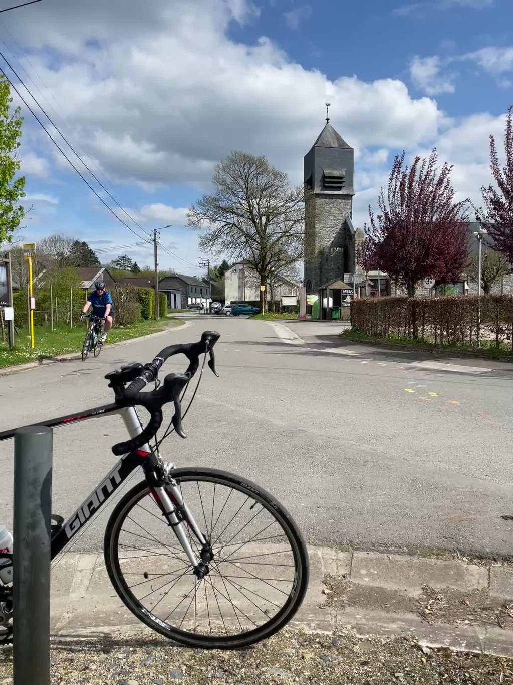
3.0 by Jeppie14
This is an automatic translation, the original language is: Dutch.
Really nice little climb with percentages that make decent spikes upwards. The top is in the village, where you turn left again at the church to get back on the 'main road'.... read more

Photos (1)

Houmont via Chemin Sulbout
transparant thumb
transparant thumb
transparant thumb
transparant thumb
transparant thumb

Your uploads (max 4)

Welcome! Please activate your account if you would like to share something. Look for the verification email in your inbox.

If you want to upload your photos, you need to create an account. It only takes 1 minute and it's completely free.

  • Receive free climbfinder goodies for your reviews & photos.
  • Create a bucket list and check off conquered climbs.
  • Add missing climbs.
Continue with GoogleContinue with Google Continue with FacebookContinue with Facebook Continue with AppleContinue with Apple Sign up with email
By signing up you agree to our terms of service and confirm that you have read our privacy & content policy.

Reviews (1)

5.0
4.0
3.0
2.0
1.0
Jeppie14
1 y 3.0
This is an automatic translation, the original language is: Dutch. Show original

Really nice little climb with percentages that make decent spikes upwards. The top is in the village, where you turn left again at the church to get back on the 'main road'.

Echt een mooi klimmetje met percentages die behoorlijke uitschieters naar boven maken. De top ligt in het dorpje, waar je bij de kerk weer linksaf gaat om terug op de 'grote weg' te geraken.

Houmont via Chemin Sulbout
Dashboard

Climbing times

7 km/h 00:08:10
11 km/h 00:05:11
15 km/h 00:03:48
19 km/h 00:03:00

Road surface condition

0% 0% 0%
Based on 0 votes
Share your knowledge. What was the road condition during your ascent?

Traffic

0% 0% 0%
Based on 0 votes
Your experience counts. How much traffic did you encounter during the climb?

Frequently Asked Questions

Houmont can be cycled from 2 sides. Houmont via Rue Arc-en-Ciel is the most popular side, but the summit can also be reached via Houmont via Chemin Sulbout.

You don't need special gearing for Houmont via Chemin Sulbout. The slope isn't long or steep enough to require much shifting down. You can conquer this climb on power alone. However, a compact gearing system with a smallest front chainring of 34 and largest rear sprocket of 28 or 30 is always nice if you enjoy cycling uphill. This helps maintain a smooth cadence.

Houmont via Chemin Sulbout is not tough enough to be assigned a mountain category. This means that even untrained cyclists can reach the top without any problems on this climb.

Houmont via Chemin Sulbout is 1 km long.

The average gradient of Houmont via Chemin Sulbout is 4.2%.

Houmont via Chemin Sulbout has a steepest segment with an average gradient of 10.2%.

The summit of Houmont via Chemin Sulbout is at 475 m.

At a slow pace of 7 km/h, it takes about 00:08:10 to climb Houmont via Chemin Sulbout. At 11 km/h the time is 00:05:11, and at 15 km/h 00:03:48. For the fastest cyclists, 00:03:00 is an achievable time.

Houmont via Chemin Sulbout is located in the region Forest of Saint-Hubert in Belgium.

This page is better in the app

Climbfinder app
Climbfinder
(Free)
Open