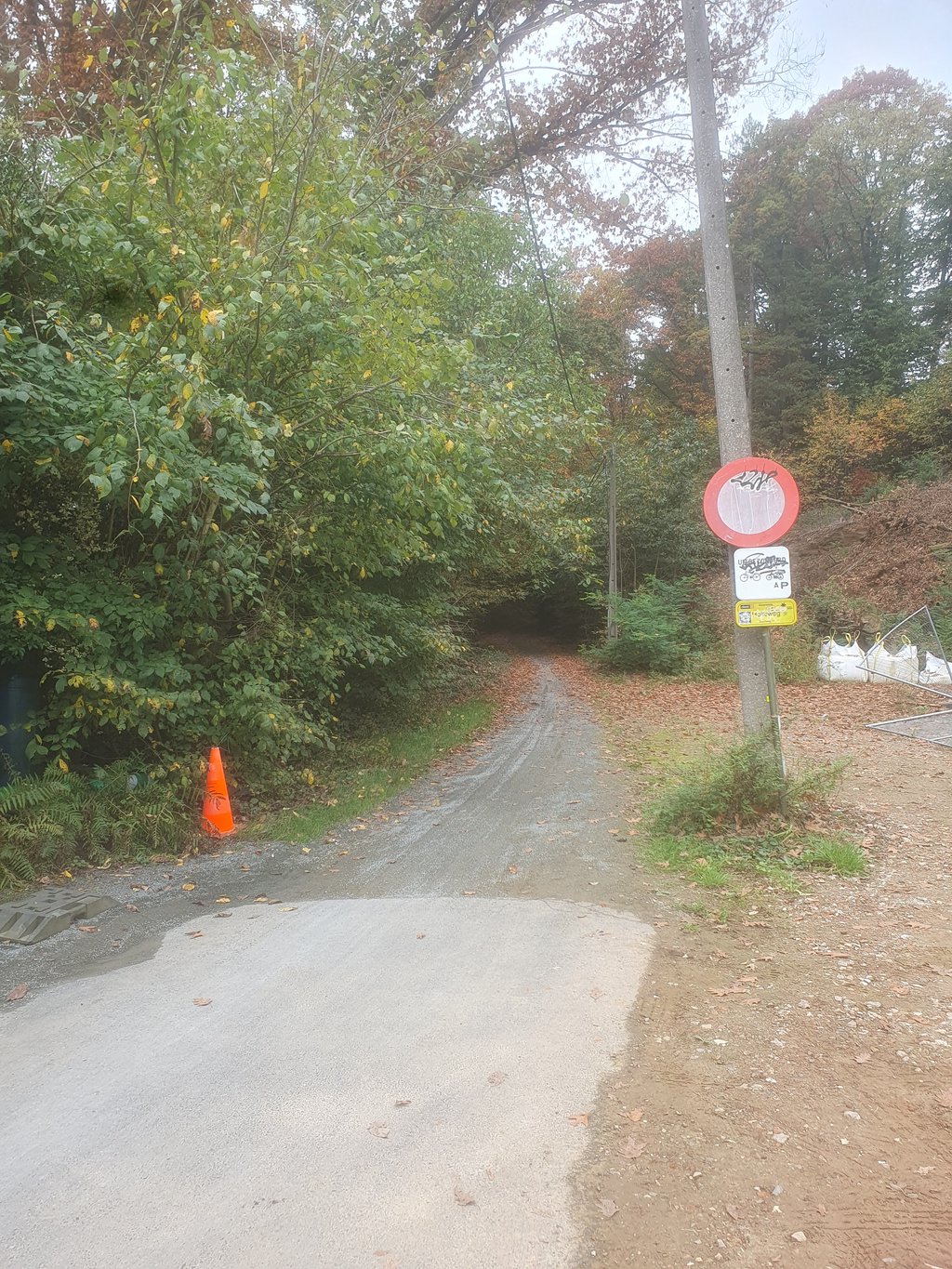
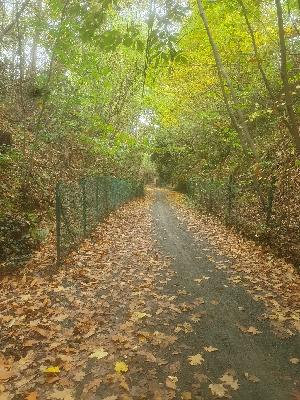
Holleweg from Diest is a climb in the region Hageland. It is 0.3 km long and bridges 20 m of vertical ascent with an average gradient of 6.5%, resulting in a difficulty score of 19. The top of the ascent is located at 57 m above sea level. Climbfinder users shared 1 review/story of this climb and uploaded 2 photos.
This is an automatic translation, the original language is: Dutch.
Gee, I think my opinion is known by now. I think gravel -climbs don't belong on climbfinder. And this is a gravel climb. Not overly tough for a bit cyclist. For a bit cyclist also doable with a regular road bike and not just gravel bike.
I love gravelling and of course the Strade Bianche with road bike is already on my record. But for me personally, Climbfinder is for road bike climbs. But then again, maybe I'm the only one who has that opinion....read more
Photos (2)
Welcome! Please activate your account if you would like to share something. Look for the verification email in your inbox.
This is an automatic translation, the original language is: Dutch.
Show original
Gee, I think my opinion is known by now. I think gravel -climbs don't belong on climbfinder. And this is a gravel climb. Not overly tough for a bit cyclist. For a bit cyclist also doable with a regular road bike and not just gravel bike.
I love gravelling and of course the Strade Bianche with road bike is already on my record. But for me personally, Climbfinder is for road bike climbs. But then again, maybe I'm the only one who has that opinion.
Goh, ik denk dat mijn mening ondertussen wel gekend is. Ik vind dat gravel -climbs niet op climbfinder thuishoort. En dit is een gravelklim. Voor een beetje fietsers niet overdreven zwaar. Voor een beetje fietser ook te doen met een gewone racefiets en niet enkel met de gravelbike.
Ik hou van gravellen en uiteraard staat de Strade Bianche met racefiets al op m'n palmares. Maar voor mij persoonlijk is Climbfinder voor racefiets-climbs. Maar ja, misschien ben ik de enige die die mening heeft.
Share your knowledge. What was the road condition during your ascent?
Traffic
100% 0% 0%
Based on 1 vote
Your experience counts. How much traffic did you encounter during the climb?
Frequently Asked Questions
You don't need special gearing for Holleweg from Diest. The slope isn't long or steep enough to require much shifting down. You can conquer this climb on power alone. However, a compact gearing system with a smallest front chainring of 34 and largest rear sprocket of 28 or 30 is always nice if you enjoy cycling uphill. This helps maintain a smooth cadence.
Holleweg from Diest is not tough enough to be assigned a mountain category. This means that even untrained cyclists can reach the top without any problems on this climb.
Holleweg from Diest is 0.3 km long.
The average gradient of Holleweg from Diest is 6.5%.
Holleweg from Diest has a steepest segment with an average gradient of 10.2%.
The summit of Holleweg from Diest is at 57 m.
At a slow pace of 7 km/h, it takes about 00:02:34 to climb Holleweg from Diest. At 11 km/h the time is 00:01:38, and at 15 km/h 00:01:12. For the fastest cyclists, 00:00:57 is an achievable time.