Hoľa from Oravská Lesná is a climb in the region Western Beskids. It is 8.3 km long and bridges 313 m of vertical ascent with an average gradient of 3.8%, resulting in a difficulty score of 199. The top of the ascent is located at 1068 m above sea level. Climbfinder users shared 1 review/story of this climb and uploaded 2 photos.
This is an automatic translation, the original language is: Dutch.
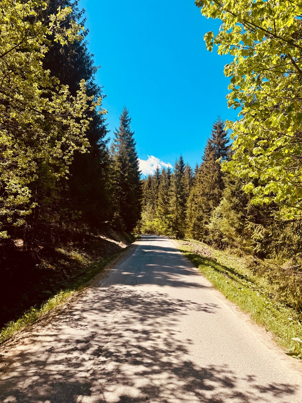
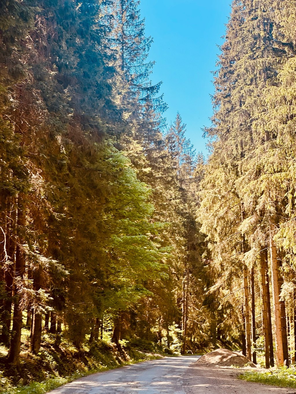
Very nice not too difficult climb through the forest. Down in the village, you can get something to eat or drink because after this you won't encounter anything for a long time. You also hardly encounter any traffic. The tarmac is not very good. The best part is that you encounter much better tarmac on the descent! At the top, by the way, there is no view....read more
Photos (2)
Welcome! Please activate your account if you would like to share something. Look for the verification email in your inbox.
This is an automatic translation, the original language is: Dutch.
Show original
Very nice not too difficult climb through the forest. Down in the village, you can get something to eat or drink because after this you won't encounter anything for a long time. You also hardly encounter any traffic. The tarmac is not very good. The best part is that you encounter much better tarmac on the descent! At the top, by the way, there is no view.
Hele mooie niet al te lastige klim door het bos. Beneden in het dorpje kan je nog even wat eten of drinken want hierna kom je lang niet meer iets tegen. Je komt ook nauwelijks verkeer tegen. Het asfalt is niet echt goed. Het leukste is dat je in de afdaling veel beter asfalt tegen komt! Bovenop is overigens geen uitzicht.
You don't need special gearing for Hoľa from Oravská Lesná. The slope isn't long or steep enough to require much shifting down. You can conquer this climb on power alone. However, a compact gearing system with a smallest front chainring of 34 and largest rear sprocket of 28 or 30 is always nice if you enjoy cycling uphill. This helps maintain a smooth cadence.
Hoľa from Oravská Lesná is a 3rd-category climb. Almost anyone can handle this climb, as long as you have a bike with climbing gears. If you have little training, you will probably need to shift down significantly. For experienced riders, Hoľa from Oravská Lesná is not a problem.
Hoľa from Oravská Lesná is 8.3 km long.
The average gradient of Hoľa from Oravská Lesná is 3.8%.
Hoľa from Oravská Lesná has a steepest segment with an average gradient of 15.9%.
The summit of Hoľa from Oravská Lesná is at 1068 m.
At a slow pace of 7 km/h, it takes about 01:11:17 to climb Hoľa from Oravská Lesná. At 11 km/h the time is 00:45:22, and at 15 km/h 00:33:16. For the fastest cyclists, 00:26:16 is an achievable time.
Hoľa from Oravská Lesná is located in the region in Slovakia.