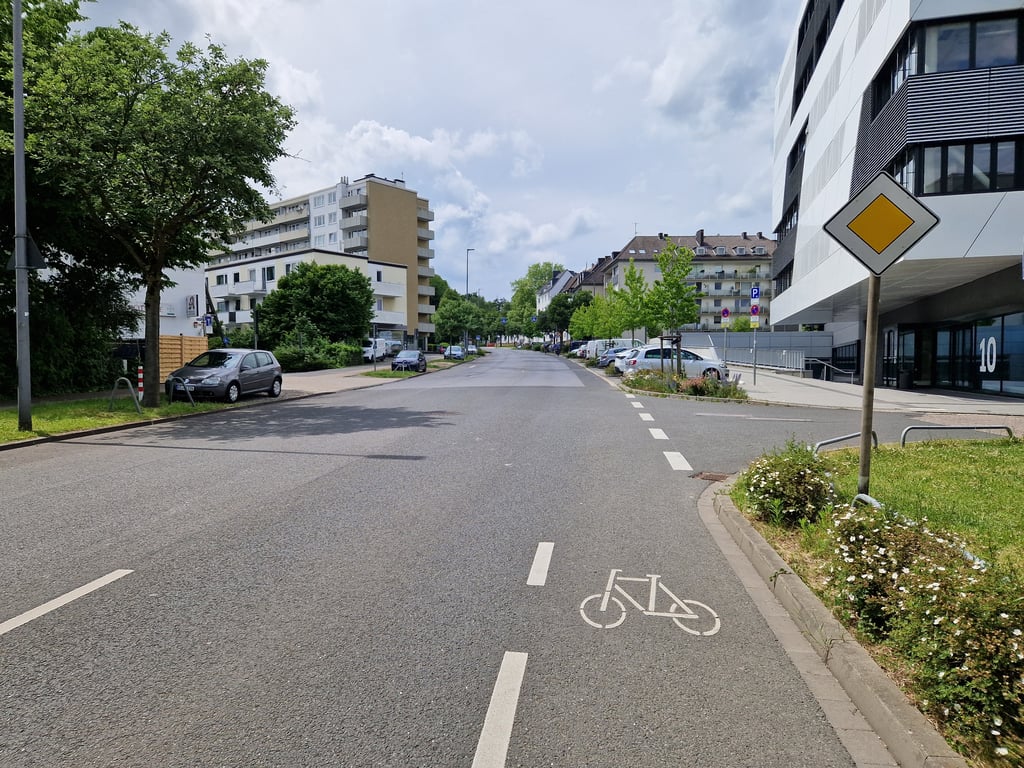
Hohenstaufenallee from Limburger Strasse is a climb in the region Cologne. It is 0.5 km long and bridges 20 m of vertical ascent with an average gradient of 3.8%, resulting in a difficulty score of 8. The top of the ascent is located at 218 m above sea level. Climbfinder users shared 3 reviews of this climb and uploaded 10 photos.
Road name: Hohenstaufenallee
2.0 by BikerJohanThis is an automatic translation, the original language is: Dutch.Not too long or difficult climb in a southern suburb of Aachen. Up to about halfway it is false flat, followed by the steeper second part to the summit with nice views of the Aachener Wald. Especially on weekdays, expect a lot of traffic. ... read more

Welcome! Please activate your account if you would like to share something. Look for the verification email in your inbox.
If you want to upload your photos, you need to create an account. It only takes 1 minute and it's completely free.
Not too long or difficult climb in a southern suburb of Aachen. Up to about halfway it is false flat, followed by the steeper second part to the summit with nice views of the Aachener Wald. Especially on weekdays, expect a lot of traffic.
Niet te lange of moeilijke klim in een zuidelijke buitenwijk van Aken. Tot ongeveer halfverwege is het vals plat en hierna volgt tot de top het steilere tweede deel met mooi zicht ophet Aachener Wald. Hou zeker op doordeweekse dagen rekening met heel veel verkeer.
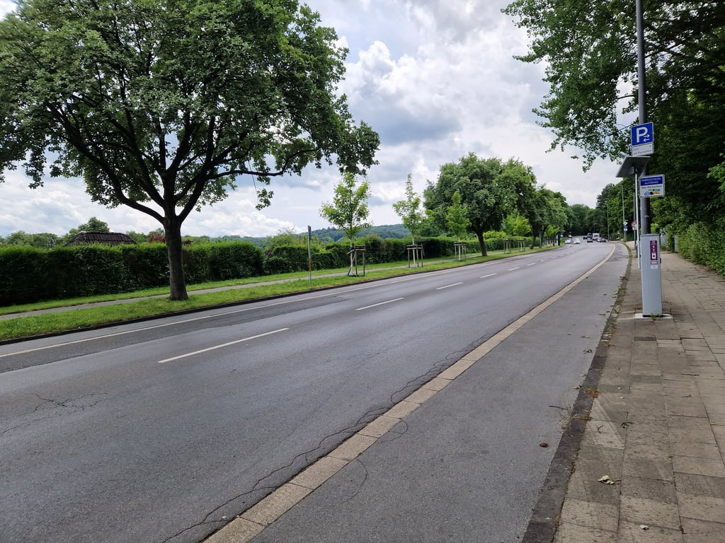
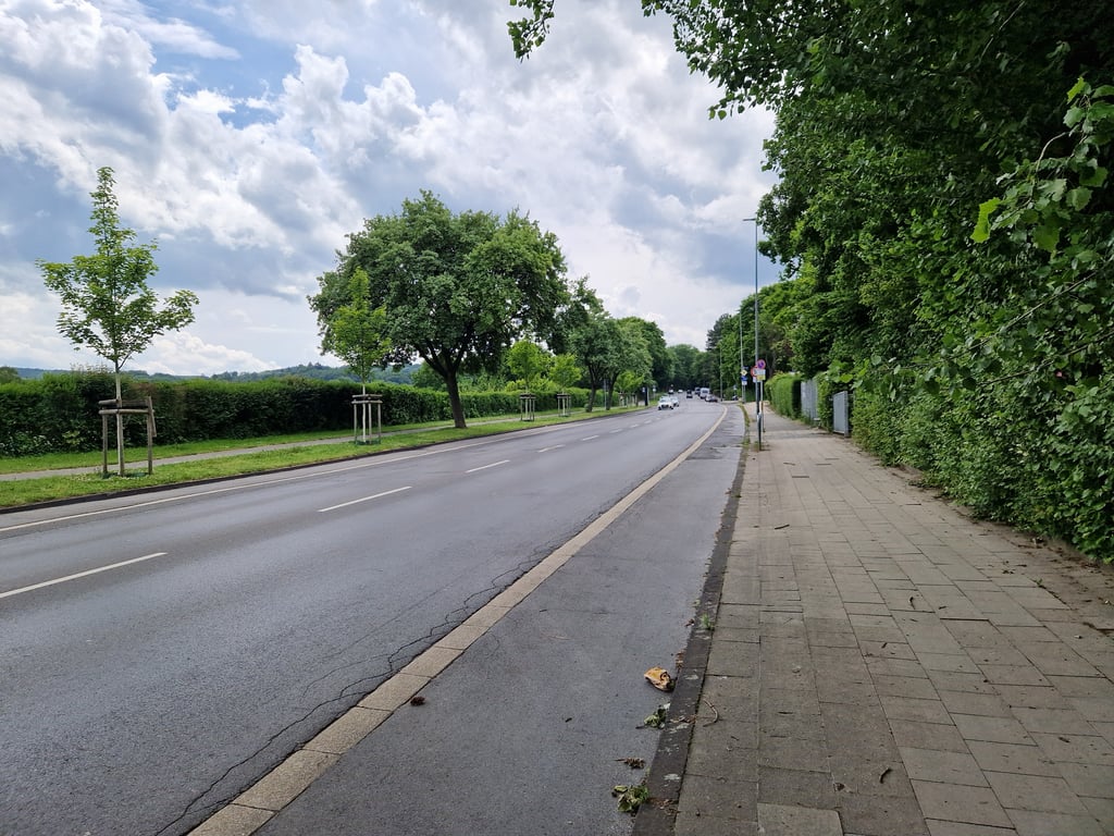
Not too steep long-distance climb from the centre of Aachen. Busy road where, as a cyclist, you are expected to share a pavement with walkers whose tiles, however, are not neat everywhere. This certainly does detract from the climb. The views of the Aachener Wald are nice, though.
Niet al te steile langlopende klim vanuit het centrum van Aachen. Drukke weg waarbij je als fietser wordt geacht een trottoir met wandelaars te delen waarvan de tegels echter niet overal even netjes liggen. Dit doet zeker wel afbreuk aan de klim. De uitzichten op het Aachener Wald zijn wel mooi.
This climb starts much earlier but then you come across traffic lights halfway. The route of this climb starts at those traffic lights. The climb goes through an almost entirely green belt so there are few reference points and the climb is rather boring. During the climb, there is a nice view of the hills of the Aachener Wald. The asphalt is reasonable. Option is to cycle over the pavement (cyclists "Frei") but that is really not recommended because of the surface.
Deze klim begint al veel eerder maar dan kom je halverwege verkeerslichten tegen. Het traject van deze klim begint bij die verkeerslichten. De klim loopt door een vrijwel geheel groene gordel dus er zijn weinig referentiepunten en de klim is nogal saai. Tijdens de klim wel aardig uitzicht op de heuvels van het Aachener Wald. Het asfalt is redelijk. Optie is om via de stoep (fietsers "Frei") te fietsen maar dat is vanwege de ondergrond echt af te raden.
| 7 km/h | 00:04:29 |
| 11 km/h | 00:02:51 |
| 15 km/h | 00:02:05 |
| 19 km/h | 00:01:39 |
This page is better in the app