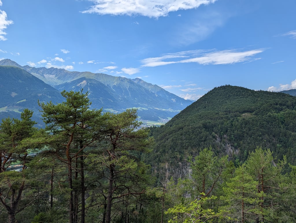
Hochzirl is a climb in the region Wetterstein. It is 3.2 km long and bridges 337 m of vertical ascent with an average gradient of 10.6%, resulting in a difficulty score of 399. The top of the ascent is located at 997 m above sea level. Climbfinder users shared 1 review/story of this climb and uploaded 3 photos.
This is an automatic translation, the original language is: Dutch.
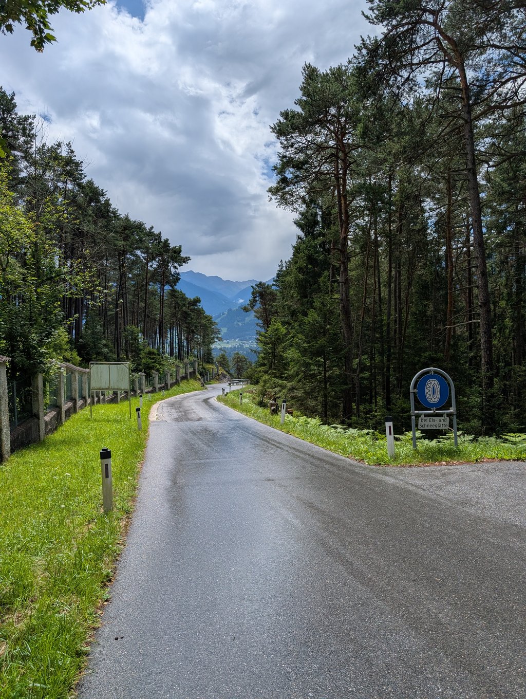
Tough dead-end climb on a rather narrow track. At the top is a hospital so there is some traffic, but not excessive. The steepness always goes into the double digits and, to my mind, this climb is slightly redder in percentages than suggested here....read more
Photos (3)
Welcome! Please activate your account if you would like to share something. Look for the verification email in your inbox.
This is an automatic translation, the original language is: Dutch.
Show original
Tough dead-end climb on a rather narrow track. At the top is a hospital so there is some traffic, but not excessive. The steepness always goes into the double digits and, to my mind, this climb is slightly redder in percentages than suggested here.
Stevige dead-end-klim op een eerder smal baantje. Boven is een ziekenhuis dus enig verkeer is er wel, maar niet overdreven. De steiltegraad gaat steeds in de dubbele cijfers en naar mijn gevoel is deze klim iets roder gekleurd in percentages dan hier voorgesteld.
Share your knowledge. What was the road condition during your ascent?
Traffic
0% 100% 0%
Based on 1 vote
Your experience counts. How much traffic did you encounter during the climb?
Frequently Asked Questions
Hochzirl is a challenging ascent. For this type of climbing, we recommend mountain gearing, specifically a compact system. This means a small front chainring of 34 teeth, combined with a rear cassette where, depending on your level, strength, and experience, you choose a sprocket with 30, 32, or even 34 teeth. Remember that a smooth cadence is always more efficient!
Hochzirl is a serious climb and falls into the 2nd category. With a good basic fitness level, even without much cycling experience, you can complete this climb just fine. However, a bike with climbing gears is a must. Without experience or training, it will be really tough – but that’s part of the challenge!
Hochzirl is 3.2 km long.
The average gradient of Hochzirl is 10.6%.
Hochzirl has a steepest segment with an average gradient of 19.5%.
The summit of Hochzirl is at 997 m.
At a slow pace of 7 km/h, it takes about 00:27:10 to climb Hochzirl. At 11 km/h the time is 00:17:17, and at 15 km/h 00:12:41. For the fastest cyclists, 00:10:00 is an achievable time.
Hochzirl is located in the region Tyrol in Austria.