View on map
© MapLibre | OpenStreetMap contributors
1%
2%
4%
6%
8%
10%
12%
15%
20%

Hochmoor via Guggenbergstrasse

3.0
1 review/story | Elevation profile | 4 photos
Tips nearby
Hochmoor via Guggenbergstrasse
transparant thumb
transparant thumb
transparant thumb
transparant thumb
Your achievable time
Calculating based on your best performances...
Relaxed
Maximum
W/kg
W/kg
W/kg
Analyse your climbing performance
Detailed insight into your climbing performance & automatically check off climbs
Based on your best performances.
Your best attempt:
Number of attempts:
Elevation profile Hochmoor via Guggenbergstrasse

Statistics

Difficulty points 199
Length 3.4 km
Average gradient 7%
Steepest 100 metres 15.1%
Total ascent 235 m

Short recap

3 hairpin turns
#51 toughest climb of Upper Austria
#62 most elevation gain of Upper Austria
#99 longest climb of Upper Austria
Feedback about this climb?
Show climbs nearby Export to GPS device

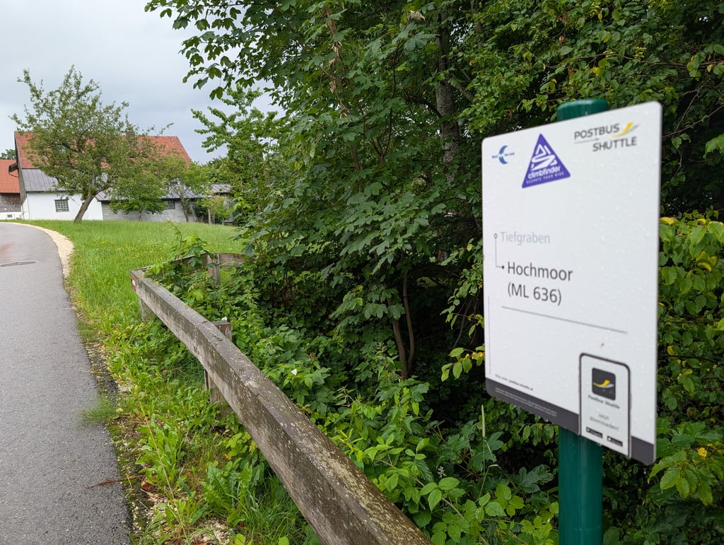
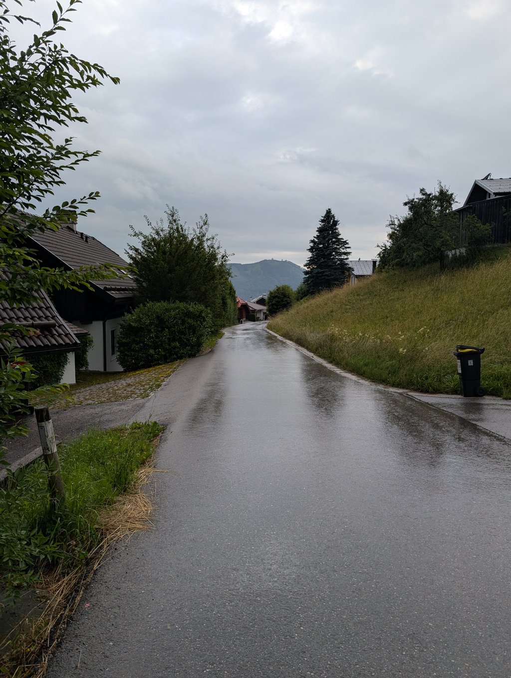
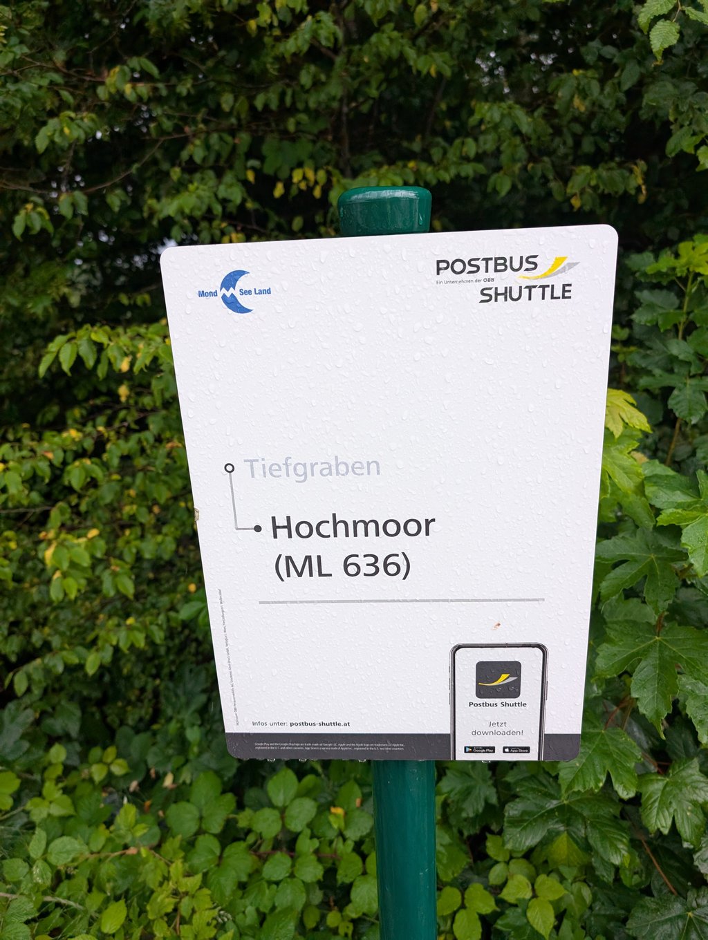
Hochmoor via Guggenbergstrasse is a climb in the region Upper Austria. It is 3.4 km long and bridges 235 m of vertical ascent with an average gradient of 7%, resulting in a difficulty score of 199. The top of the ascent is located at 791 m above sea level. Climbfinder users shared 1 review/story of this climb and uploaded 4 photos.

Road names: Guggenbergstrasse & Hochmoor

This is an automatic translation, the original language is: Dutch.
I have already reviewed the other flanks of this ridge here. And this experience is actually similar. This is a tough climb with decent gradients at times (double digits), but not insurmountable for a bit of a climbfinder. The alternatives to tackle this ridge tend to be slightly shorter, so it does have an average length. The road surface is Austrian fine and the traffic there is only busy, during rush hours, when people drive home. Because if you don't live here, you shouldn't be her... read more

Photos (4)

Hochmoor via Guggenbergstrasse
transparant thumb
transparant thumb

Your uploads (max 4)

Welcome! Please activate your account if you would like to share something. Look for the verification email in your inbox.

If you want to upload your photos, you need to create an account. It only takes 1 minute and it's completely free.

  • Receive free climbfinder goodies for your reviews & photos.
  • Create a bucket list and check off conquered climbs.
  • Add missing climbs.
Continue with GoogleContinue with Google Continue with FacebookContinue with Facebook Continue with AppleContinue with Apple Sign up with email
By signing up you agree to our terms of service and confirm that you have read our privacy & content policy.

Reviews (1)

5.0
4.0
3.0
2.0
1.0
Joeri_Laureys
11 Mo 3.0
This is an automatic translation, the original language is: Dutch. Show original

I have already reviewed the other flanks of this ridge here. And this experience is actually similar. This is a tough climb with decent gradients at times (double digits), but not insurmountable for a bit of a climbfinder. The alternatives to tackle this ridge tend to be slightly shorter, so it does have an average length. The road surface is Austrian fine and the traffic there is only busy, during rush hours, when people drive home. Because if you don't live here, you shouldn't be here.

Ik heb hier al de andere flanken van deze heuvelrug gereviewd. En deze ervaring is eigenlijk gelijkaardig. Dit is een pittige klim met behoorlijk stijgingspercentages bij momenten (dubbele cijfers), maar voor een beetje climbfinder niet onoverkomelijk. De alternatieven om deze heuvelrug te bekampen zijn doorgaans iets korter, dus hij heeft wel een gemiddelde lengte. Het wegdek is Oostenrijks prima en het verkeer is er enkel druk, in de spitsuren, wanneer de mensen naar huis rijden. Want als je hier niet woont, moet je hier niet zijn.

Dashboard

Climbing times

7 km/h 00:28:42
11 km/h 00:18:16
15 km/h 00:13:24
19 km/h 00:10:34

Road surface condition

100% 0% 0%
Based on 1 vote
Share your knowledge. What was the road condition during your ascent?

Traffic

0% 100% 0%
Based on 1 vote
Your experience counts. How much traffic did you encounter during the climb?

Frequently Asked Questions

Hochmoor can be cycled from 2 sides. Hochmoor via Guggenbergstrasse is the most popular side, but the summit can also be reached via Hochmoor from Mondsee.

Hochmoor via Guggenbergstrasse is a challenging ascent. For this type of climbing, we recommend mountain gearing, specifically a compact system. This means a small front chainring of 34 teeth, combined with a rear cassette where, depending on your level, strength, and experience, you choose a sprocket with 30, 32, or even 34 teeth. Remember that a smooth cadence is always more efficient!

Hochmoor via Guggenbergstrasse is a 3rd-category climb. Almost anyone can handle this climb, as long as you have a bike with climbing gears. If you have little training, you will probably need to shift down significantly. For experienced riders, Hochmoor via Guggenbergstrasse is not a problem.

Hochmoor via Guggenbergstrasse is 3.4 km long.

The average gradient of Hochmoor via Guggenbergstrasse is 7%.

Hochmoor via Guggenbergstrasse has a steepest segment with an average gradient of 15.1%.

The summit of Hochmoor via Guggenbergstrasse is at 791 m.

At a slow pace of 7 km/h, it takes about 00:28:42 to climb Hochmoor via Guggenbergstrasse. At 11 km/h the time is 00:18:16, and at 15 km/h 00:13:24. For the fastest cyclists, 00:10:34 is an achievable time.

Hochmoor via Guggenbergstrasse is located in the region Upper Austria in Austria.

This page is better in the app

Climbfinder app
Climbfinder
(Free)
Open