View on map
© MapLibre | OpenStreetMap contributors
1%
2%
4%
6%
8%
10%
12%
15%
20%

Haute-Saive from Le Mousset

3.0
2 reviews | Elevation profile | 3 photos
Tips nearby
Haute-Saive from Le Mousset
transparant thumb
transparant thumb
transparant thumb
transparant thumb
transparant thumb
Your achievable time
Calculating based on your best performances...
Relaxed
Maximum
W/kg
W/kg
W/kg
Analyse your climbing performance
Detailed insight into your climbing performance & automatically check off climbs
Based on your best performances.
Your best attempt:
Number of attempts:
Elevation profile Haute-Saive from Le Mousset

Statistics

Difficulty points 12
Length 0.8 km
Average gradient 3.4%
Steepest 100 metres 6%
Total ascent 29 m
Feedback about this climb?
Show climbs nearby Export to GPS device

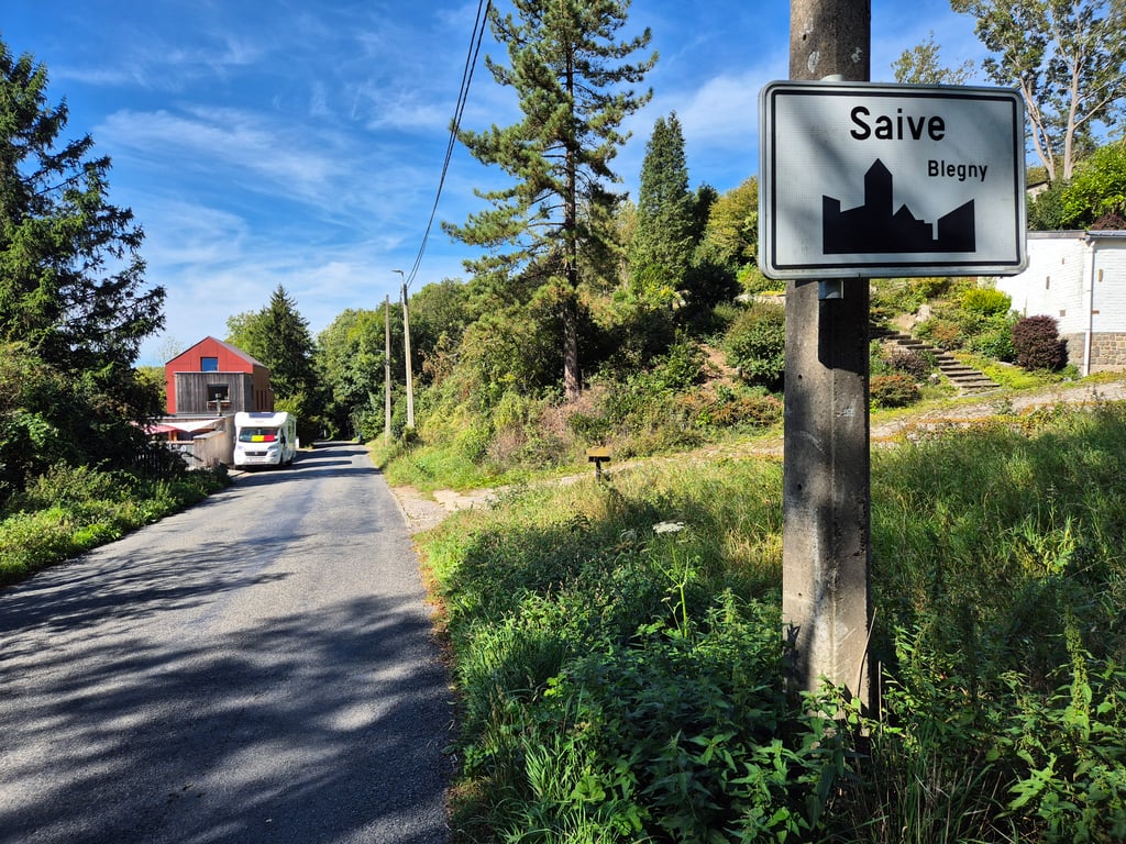
Haute-Saive from Le Mousset is a climb in the region Pays de Herve. It is 0.8 km long and bridges 29 m of vertical ascent with an average gradient of 3.4%, resulting in a difficulty score of 12. The top of the ascent is located at 185 m above sea level. Climbfinder users shared 2 reviews of this climb and uploaded 3 photos.

Road names: Rue Courtil Moray & Rue Haute Saive
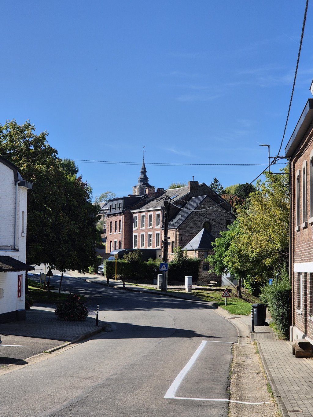
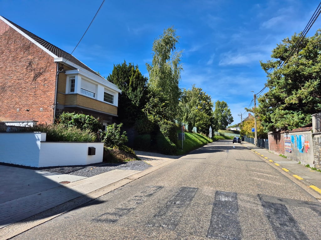
This is an automatic translation, the original language is: Dutch.
Starts briskly right from the village and then gradually flattens out as you drive into the open countryside.... read more

Photos (3)

Haute-Saive from Le Mousset
transparant thumb
transparant thumb
transparant thumb

Your uploads (max 4)

Welcome! Please activate your account if you would like to share something. Look for the verification email in your inbox.

If you want to upload your photos, you need to create an account. It only takes 1 minute and it's completely free.

  • Receive free climbfinder goodies for your reviews & photos.
  • Create a bucket list and check off conquered climbs.
  • Add missing climbs.
Continue with GoogleContinue with Google Continue with FacebookContinue with Facebook Continue with AppleContinue with Apple Sign up with email
By signing up you agree to our terms of service and confirm that you have read our privacy & content policy.

Reviews (2)

5.0
4.0
3.0
2.0
1.0
Piekpionier
1 Mo 3.0
This is an automatic translation, the original language is: Dutch. Show original

Starts briskly right from the village and then gradually flattens out as you drive into the open countryside.

Begint meteen stevig vanuit het dorp en vlakt daarna geleidelijk af terwijl je het open landschap in rijdt.

Dashboard
Jarin
8 Mo 3.0 via the Climbfinder app
This is an automatic translation, the original language is: Dutch. Show original

Nice climb that starts out nice and snappy at the bottom of the village. After the roundabout, the climb gradually flattens out and you cycle into a nice rural area. Good road surface.

Leuks klim die onderaan het dorp direct lekker pittig start. Na de rotonde vlakt de klim geleidelijk af en fiets je een mooi landelijke gebied in. Goed wegdek.

Dashboard

Climbing times

7 km/h 00:07:14
11 km/h 00:04:36
15 km/h 00:03:22
19 km/h 00:02:39

Road surface condition

0% 0% 0%
Based on 0 votes
Share your knowledge. What was the road condition during your ascent?

Traffic

0% 0% 0%
Based on 0 votes
Your experience counts. How much traffic did you encounter during the climb?

Frequently Asked Questions

Haute-Saive can be cycled from 2 sides. Haute-Saive from Chemin du Frise is the most popular side, but the summit can also be reached via Haute-Saive from Le Mousset.

You don't need special gearing for Haute-Saive from Le Mousset. The slope isn't long or steep enough to require much shifting down. You can conquer this climb on power alone. However, a compact gearing system with a smallest front chainring of 34 and largest rear sprocket of 28 or 30 is always nice if you enjoy cycling uphill. This helps maintain a smooth cadence.

Haute-Saive from Le Mousset is not tough enough to be assigned a mountain category. This means that even untrained cyclists can reach the top without any problems on this climb.

Haute-Saive from Le Mousset is 0.8 km long.

The average gradient of Haute-Saive from Le Mousset is 3.4%.

Haute-Saive from Le Mousset has a steepest segment with an average gradient of 6%.

The summit of Haute-Saive from Le Mousset is at 185 m.

At a slow pace of 7 km/h, it takes about 00:07:14 to climb Haute-Saive from Le Mousset. At 11 km/h the time is 00:04:36, and at 15 km/h 00:03:22. For the fastest cyclists, 00:02:39 is an achievable time.

Haute-Saive from Le Mousset is located in the region Liège Province in Belgium.

This page is better in the app

Climbfinder app
Climbfinder
(Free)
Open