View on map
© MapLibre | OpenStreetMap contributors
1%
2%
4%
6%
8%
10%
12%
15%
20%

Gijmelberg via Oude Mechelsebaan

3.0
2 reviews | Elevation profile | 4 photos
Tips nearby
Gijmelberg via Oude Mechelsebaan
transparant thumb
transparant thumb
transparant thumb
transparant thumb
Your achievable time
Calculating based on your best performances...
Relaxed
Maximum
W/kg
W/kg
W/kg
Analyse your climbing performance
Detailed insight into your climbing performance & automatically check off climbs
Based on your best performances.
Your best attempt:
Number of attempts:
Elevation profile Gijmelberg via Oude Mechelsebaan

Statistics

Difficulty points 11
Length 0.4 km
Average gradient 4.9%
Steepest 100 metres 7%
Total ascent 21 m
Feedback about this climb?
Show climbs nearby Export to GPS device

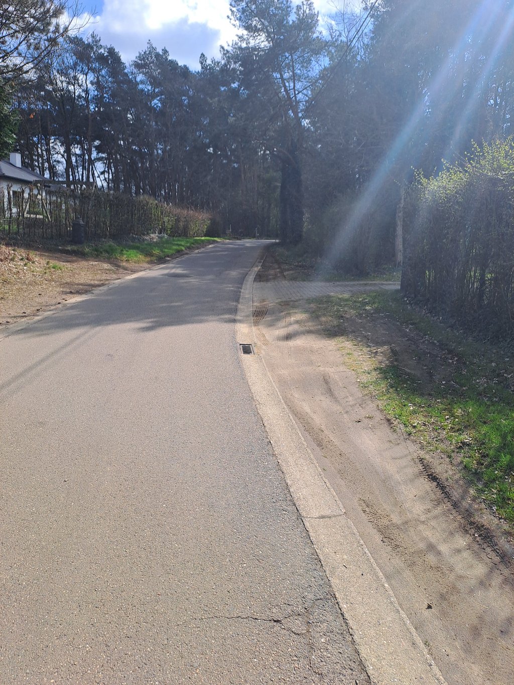
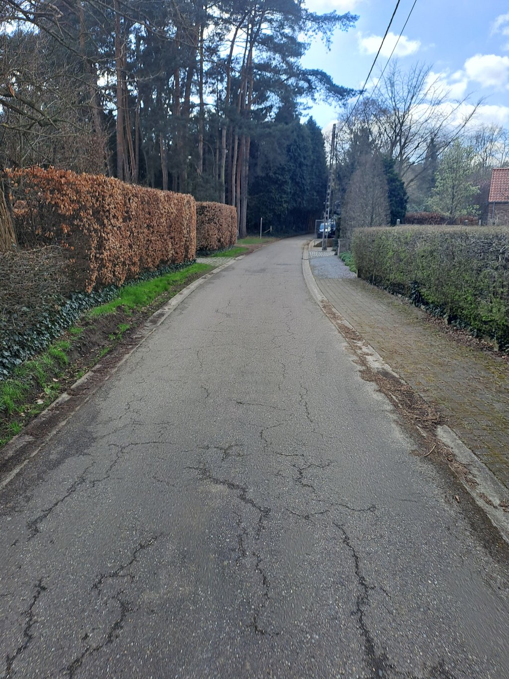
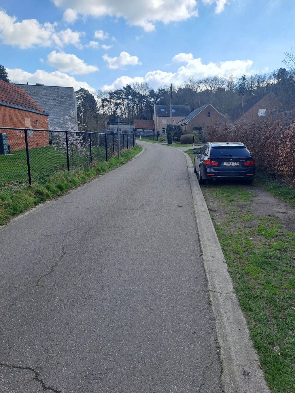
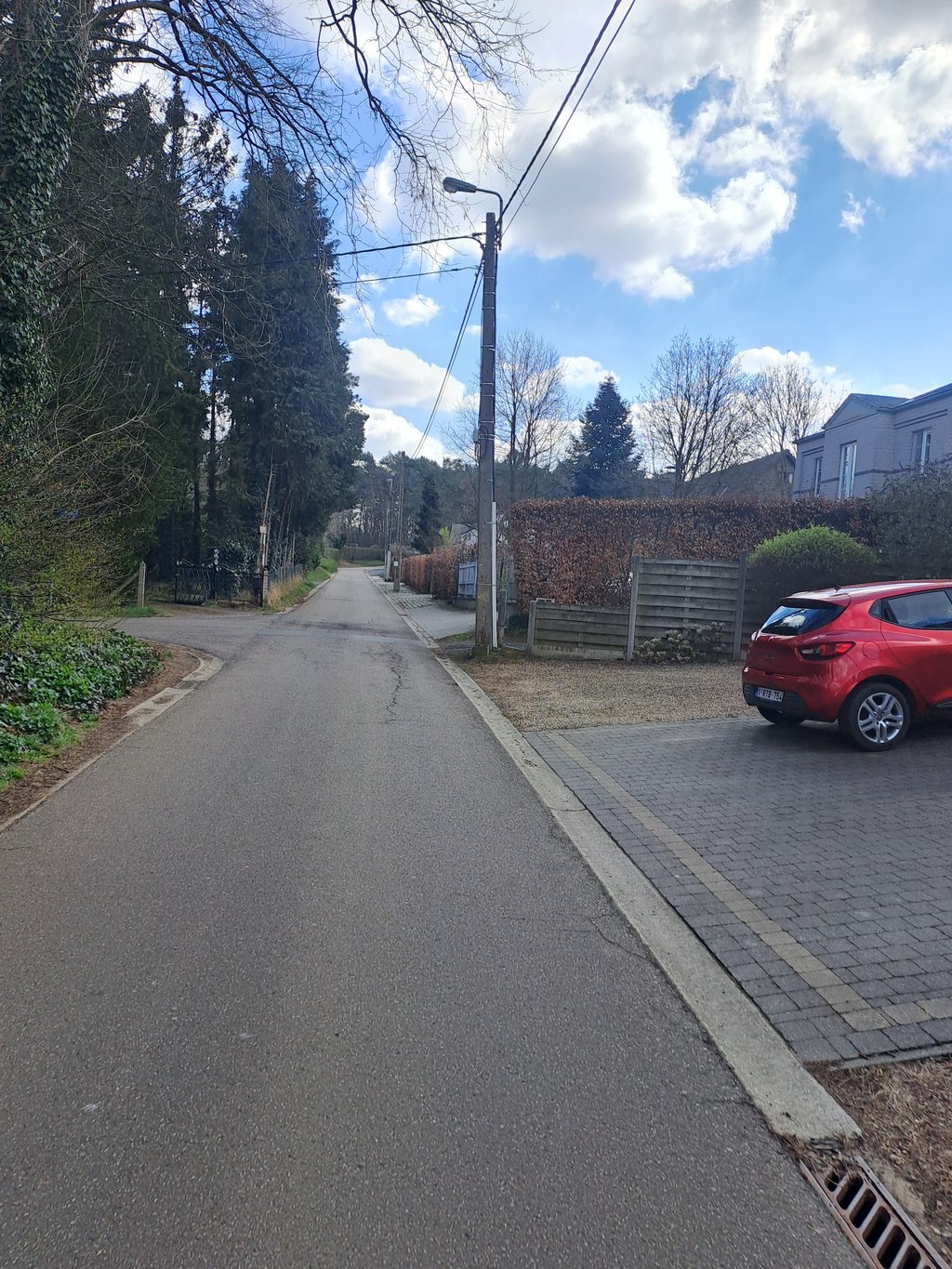
Gijmelberg via Oude Mechelsebaan is a climb in the region Hageland. It is 0.4 km long and bridges 21 m of vertical ascent with an average gradient of 4.9%, resulting in a difficulty score of 11. The top of the ascent is located at 40 m above sea level. Climbfinder users shared 2 reviews of this climb and uploaded 4 photos.

Road name: Gijmelbergstraat

This is an automatic translation, the original language is: Dutch.
I went to this climb from Ourodenberg. You can see a grove where the top of this slope lies. Narrow tarmac road. Road was good and I met quite a few cyclists on this. You can never see the top. You can go up on the big gear and at the end the road curves to the right and you're there. A climb to keep going. It never gets really difficult.... read more

Photos (4)

Gijmelberg via Oude Mechelsebaan
transparant thumb
transparant thumb

Your uploads (max 4)

Welcome! Please activate your account if you would like to share something. Look for the verification email in your inbox.

If you want to upload your photos, you need to create an account. It only takes 1 minute and it's completely free.

  • Receive free climbfinder goodies for your reviews & photos.
  • Create a bucket list and check off conquered climbs.
  • Add missing climbs.
Continue with GoogleContinue with Google Continue with FacebookContinue with Facebook Continue with AppleContinue with Apple Sign up with email
By signing up you agree to our terms of service and confirm that you have read our privacy & content policy.

Reviews (2)

5.0
4.0
3.0
2.0
1.0
Glen_Solana
11 Mo 3.0
This is an automatic translation, the original language is: Dutch. Show original

I went to this climb from Ourodenberg. You can see a grove where the top of this slope lies.
Narrow tarmac road. Road was good and I met quite a few cyclists on this.
You can never see the top. You can go up on the big gear and at the end the road curves to the right and you're there. A climb to keep going. It never gets really difficult.

Ik ging naar deze klim vanuit Ourodenberg. Je ziet een bosje liggen, waar de top van deze helling ligt.
Smal asfaltwegje. Weg lag goed en ik kwam hierop redelijk wat fietsers tegen.
Je ziet de top nooit liggen. Je kan op het grote verzet naar boven en op het einde maakt de weg een bochtje naar rechts en ben je er. Klimmetje om eens op door te trekken. Het wordt nergens echt lastig.

Dashboard
Andre
1 y 3.0
This is an automatic translation, the original language is: Dutch. Show original

Nice little climb in pleasant cycling surroundings with lots of greenery.
It is a narrow road on a few gentle curves uphill.
Certainly not difficult and easy to take with the big plateau. Little traffic, the asphialt is ok but certainly not top notch. Worth a kle6om road for this area.

Leuk klimmetje in een aangename fietsomgeving met veel groen.
Het is een smal weggetje op enkele flauwe bochten narecht naar boven gaat.
Zeker niet zwaar en gerust met de grote plateau te nemen. Weinig verkeer, de asfialt Is ok maar zeker niet top. Voor deze omgeving even een kle6omweg waard.

Dashboard

Climbing times

7 km/h 00:03:38
11 km/h 00:02:18
15 km/h 00:01:41
19 km/h 00:01:20

Road surface condition

50% 50% 0%
Based on 2 votes
Share your knowledge. What was the road condition during your ascent?

Traffic

100% 0% 0%
Based on 2 votes
Your experience counts. How much traffic did you encounter during the climb?

Frequently Asked Questions

You don't need special gearing for Gijmelberg via Oude Mechelsebaan. The slope isn't long or steep enough to require much shifting down. You can conquer this climb on power alone. However, a compact gearing system with a smallest front chainring of 34 and largest rear sprocket of 28 or 30 is always nice if you enjoy cycling uphill. This helps maintain a smooth cadence.

Gijmelberg via Oude Mechelsebaan is not tough enough to be assigned a mountain category. This means that even untrained cyclists can reach the top without any problems on this climb.

Gijmelberg via Oude Mechelsebaan is 0.4 km long.

The average gradient of Gijmelberg via Oude Mechelsebaan is 4.9%.

Gijmelberg via Oude Mechelsebaan has a steepest segment with an average gradient of 7%.

The summit of Gijmelberg via Oude Mechelsebaan is at 40 m.

At a slow pace of 7 km/h, it takes about 00:03:38 to climb Gijmelberg via Oude Mechelsebaan. At 11 km/h the time is 00:02:18, and at 15 km/h 00:01:41. For the fastest cyclists, 00:01:20 is an achievable time.

Gijmelberg via Oude Mechelsebaan is located in the region Flemish Brabant in Belgium.

This page is better in the app

Climbfinder app
Climbfinder
(Free)
Open