| #19 toughest climb of Luxembourg |
| #94 most elevation gain of Luxembourg |
| #69 longest climb of Nordstad |
| #29 average steepest climb of Luxembourg |
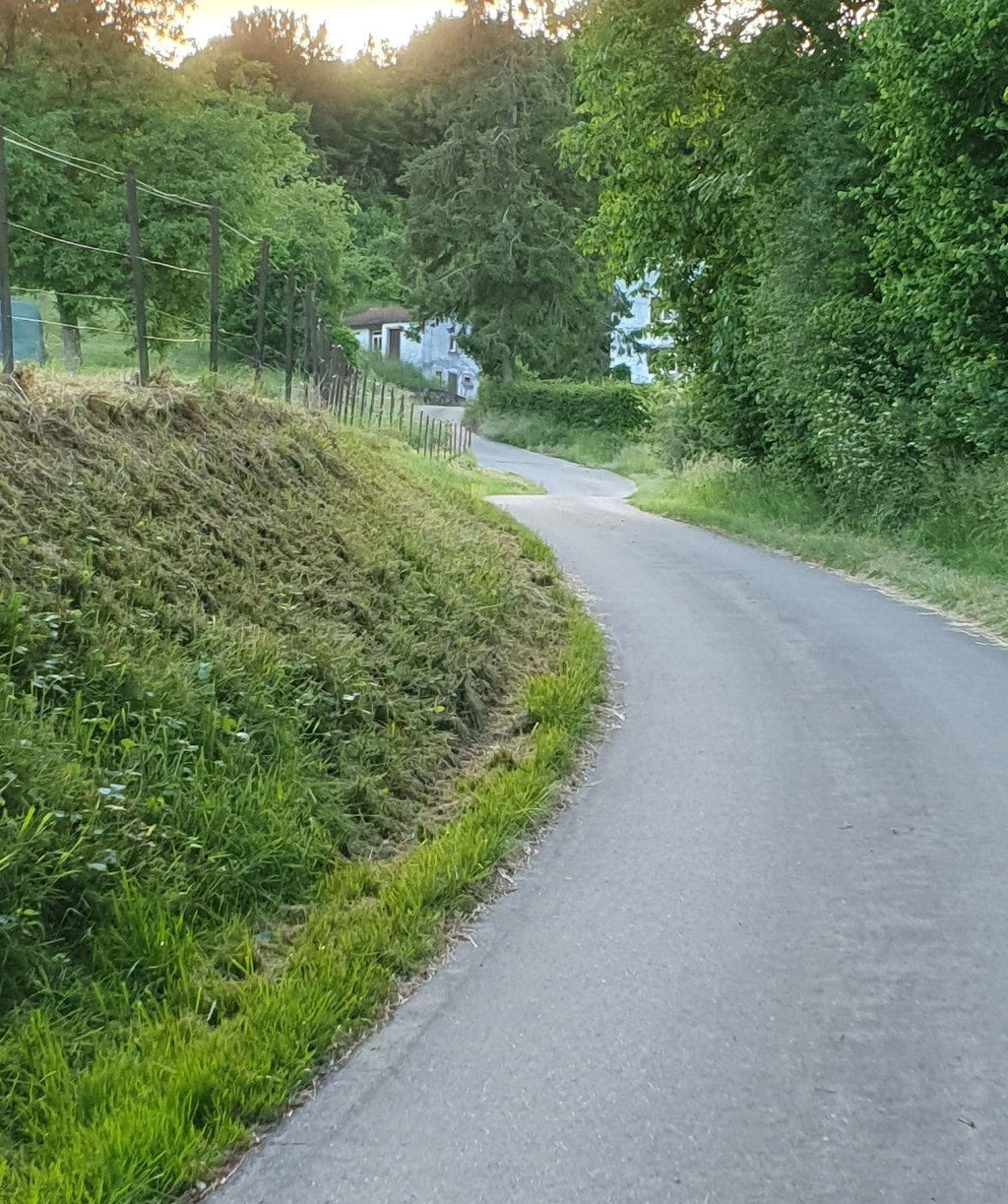
Fouerbierg / Ënner Fooss from Bettendorf via Am Ieselswee is a climb in the region Nordstad. It is 2 km long and bridges 201 m of vertical ascent with an average gradient of 10%, resulting in a difficulty score of 223. The top of the ascent is located at 390 m above sea level. Climbfinder users shared 1 review/story of this climb and uploaded 5 photos.
Road names: Am Ieselswee & Am Bongert
4.0 by matzEThis is an automatic translation, the original language is: Dutch.This climb has keeps throwing steep sections at you until about 300 metres before the summit. The road is ok, but the views are great and there is very little traffic. I would definitely give this climb a go if you are cycling in the region.... read more
Welcome! Please activate your account if you would like to share something. Look for the verification email in your inbox.
If you want to upload your photos, you need to create an account. It only takes 1 minute and it's completely free.
This climb has keeps throwing steep sections at you until about 300 metres before the summit. The road is ok, but the views are great and there is very little traffic.
I would definitely give this climb a go if you are cycling in the region.
Deze klim heeft blijft stijle stroken op je afgooien tot ongeveer 300 meter voor de top. De weg is ok, maar de uitzichten zijn geweldig en er rijdt weinig verkeer.
Ik zou deze beklimming zeker even meepakken als je in de regio gaat fietsen.
| 7 km/h | 00:17:13 |
| 11 km/h | 00:10:57 |
| 15 km/h | 00:08:02 |
| 19 km/h | 00:06:20 |
This page is better in the app