Forcellino di Bianzano from Edine Gaiano is a climb in the region Bergamo. It is 7.6 km long and bridges 350 m of vertical ascent with an average gradient of 4.6%, resulting in a difficulty score of 258. The top of the ascent is located at 666 m above sea level. Climbfinder users shared 2 reviews of this climb and uploaded 7 photos.
Road names: Via San Bernardino, Via Panoramica, Via Don Giancarlo Pezzotta, Via Provinciale & Via Valle Rossa
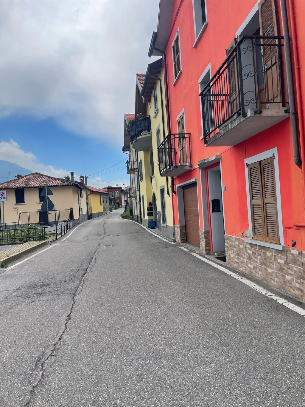
4.0 by ClaudioFerrariThis is an automatic translation, the original language is: Italian.A little-travelled variant that climbs to the Bianzano pass from Lake Endine. You pass through narrow village streets with even some cobbled sections. Initial section really hard, as the plan suggests, you reach gradients well over 15%. At the crossroads, you rejoin the classic, regular climb from Spinone. If you want to hurt yourself, having arrived at the Ranzanico crossroads, you can turn right and face the terrible little more than 2km to the Ranzanico fork.... read more
Welcome! Please activate your account if you would like to share something. Look for the verification email in your inbox.
If you want to upload your photos, you need to create an account. It only takes 1 minute and it's completely free.
A little-travelled variant that climbs to the Bianzano pass from Lake Endine. You pass through narrow village streets with even some cobbled sections. Initial section really hard, as the plan suggests, you reach gradients well over 15%. At the crossroads, you rejoin the classic, regular climb from Spinone. If you want to hurt yourself, having arrived at the Ranzanico crossroads, you can turn right and face the terrible little more than 2km to the Ranzanico fork.
Variante poco battuta che sale alla forcella di Bianzano dal lago d’Endine. Si passa attraverso stradine strette di paese con anche alcuni tratti in ciottolato. Tratto iniziale veramente duro, come suggerisce la planimetria, si arrivano a pendenze ben oltre il 15%. Arrivati al bivio, ci si ricongiunge con la salita classica e regolare che parte da Spinone. Se vi volete del male, arrivati al bivio di Ranzanico, potete svoltare a destra ed affrontare i poco più di 2km terribili che portano alla forcella di Ranzanico.
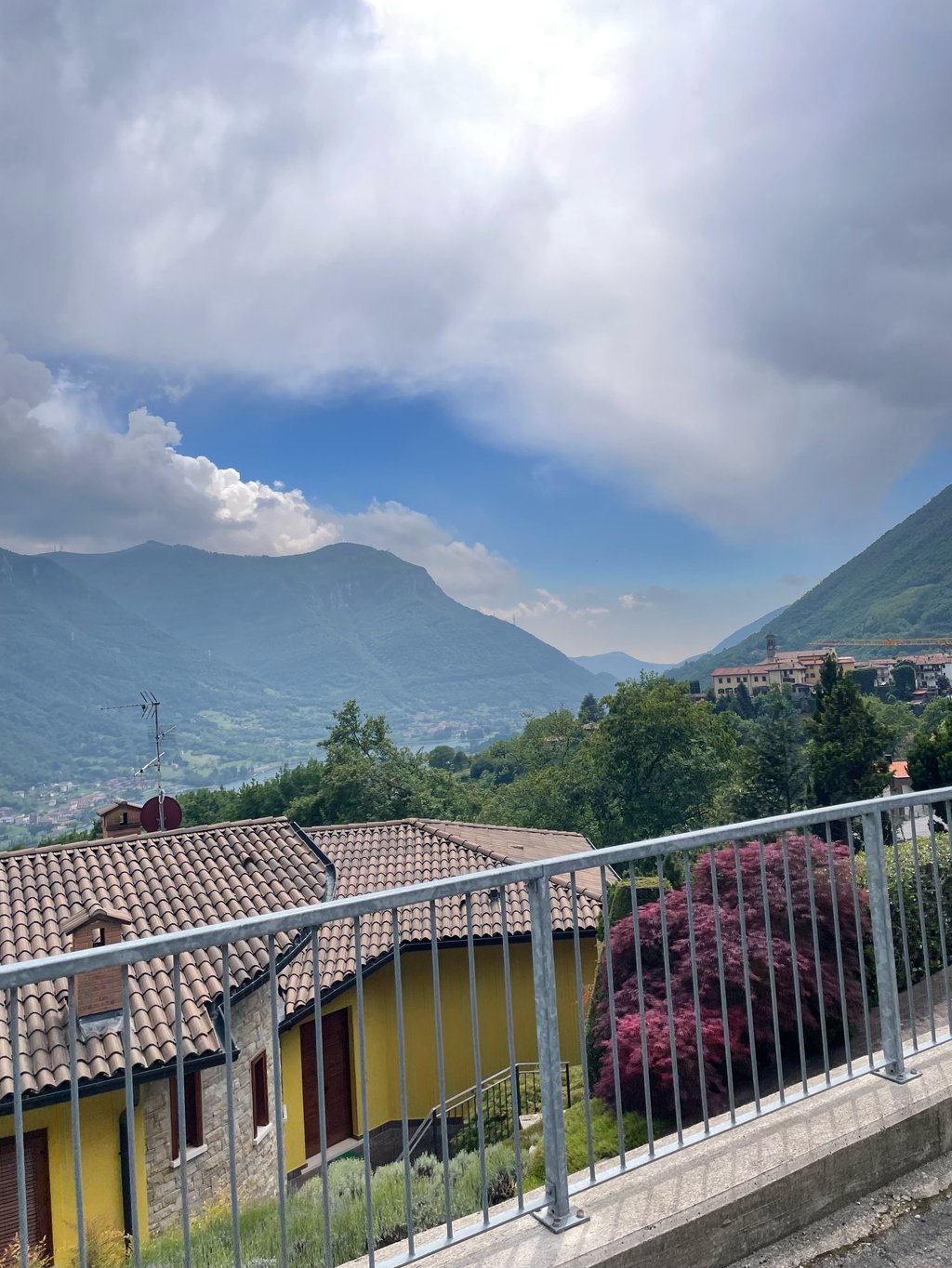
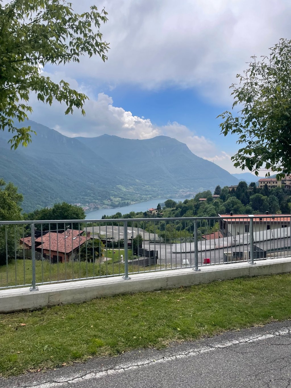
A road with very little traffic (from Via della Costituzione, motorised access ONLY for residents) and permanent scenery on Lake Endine.
It's an excellent alternative that allows you to avoid the busy and narrow SS42 ValCavallina state road and then enter the pleasant Valle Rossa that leads to Leffe/Gandino and from there into the Val Seriana.
The climb, from Endine Gaiano, has two rather steep, albeit very short, sections: in the initial stretch, up from Via Martiri della Libertà, and Via Panoramica, at the height of the Chiesetta degli Alpini, where it touches the steepest slopes.
Strada molto poco trafficata (da Via della Costituzione, accesso motorizzato SOLO ai residenti) e con un permanente paesaggio sul Lago d'Endine.
E' un'ottima alternativa che permette di evitare la trafficata e stretta Statale SS42 della ValCavallina, per poi immettersi nella piacevole Valle Rossa che porta a Leffe/Gandino e da lì in Val Seriana.
La salita, da Endine Gaiano, presenta 2 tratti piuttosto ripidi anche se molto brevi: nel tratto iniziale, risalendo da via Martiri della Libertà, e via Panoramica, all'altezza della Chiesetta degli Alpini, dove tocca le pendenze più forti.
| 7 km/h | 01:05:07 |
| 11 km/h | 00:41:26 |
| 15 km/h | 00:30:23 |
| 19 km/h | 00:23:59 |
This page is better in the app