Fellerich from Tawern is a climb in the region Hunsrück. It is 1.6 km long and bridges 122 m of vertical ascent with an average gradient of 7.4%, resulting in a difficulty score of 98. The top of the ascent is located at 327 m above sea level. Climbfinder users shared 1 review/story of this climb and uploaded 1 photo.
Road name: L 136
3.0 by elbowboyThis is an automatic translation, the original language is: German.The traffic density depends heavily on the time of day: the route is very busy during the week in the mornings and evenings because many commuters are on the road, whereas it is relatively quiet at weekends. At the exit from Tawern there is a traffic island to calm the traffic, but this often causes traffic jams. Initially, there is a wide verge where you can cycle independently of the traffic. However, this ends after a few hundred metres. If you then follow the main road (L136), it becom... read more
Welcome! Please activate your account if you would like to share something. Look for the verification email in your inbox.
If you want to upload your photos, you need to create an account. It only takes 1 minute and it's completely free.
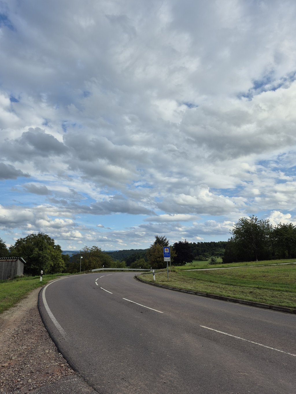
The traffic density depends heavily on the time of day: the route is very busy during the week in the mornings and evenings because many commuters are on the road, whereas it is relatively quiet at weekends.
At the exit from Tawern there is a traffic island to calm the traffic, but this often causes traffic jams.
Initially, there is a wide verge where you can cycle independently of the traffic. However, this ends after a few hundred metres. If you then follow the main road (L136), it becomes moderately steep and you cycle on the road. There is no cycle path.
However, you can turn right towards Fellerich, onto a quiet road (Moselstraße), which is well asphalted and has little traffic, which takes you into the centre of the village and allows you to rejoin the main road at the Fellerich exit, which I would recommend.
In Fellerich it is also an option to turn right "to the Ahlbach", here you get through the vineyards, a really beautiful route, but beware: the asphalted path ends after a few kilometres and you really need a gravel bike to get further.
Die Verkehrsdichte hängt stark vom Zeitpunkt ab : über die Woche morgens und abends ist die Strecke stark befahren, weil viele Pendler unterwegs sind, am Wochenende ist es relativ ruhig.
Bei der Ausfahrt aus Tawern gibt es eine Verkehrsinsel zur Verkehrsberuhigung, die aber auch oft für stockenden Verkehr sorgt.
Zunächst gibt es einen breiten Randstreifen, auf dem man gut unabhängig vom Autoverkehr fahren kann. Dieser endet aber nach einigen hundert Metern. Folgt man dann der Hauptstraße (L136) wird es mittelmäßig steil und man fährt auf der Straße. Es gibt keinen Radweg.
Man kann allerdings rechts Richtung Fellerich abbiegen, auf einen ruhigen Weg (Moselstraße), der gut asphaltiert und wenig befahren ist, über diesen gelangt man in den Ortskern und kann Ausgangs Fellerich wieder auf die Hauptstraße auffahren, dies würde ich empfehlen.
In Fellerich ist es auch eine Option rechts abzubiegen "zum Ahlbach", hier gelangt man durch die Weinberge, eine wirklich schöne Strecke, allerdings Achtung : der asphaltierte Weg endet nach ein paar Kilometern und man brauch tann wirklich ein Gravelbike um weiterzukommen.
| 7 km/h | 00:14:01 |
| 11 km/h | 00:08:55 |
| 15 km/h | 00:06:32 |
| 19 km/h | 00:05:10 |
This page is better in the app