| 2 hairpin turns |
| #61 toughest climb of Eifel |
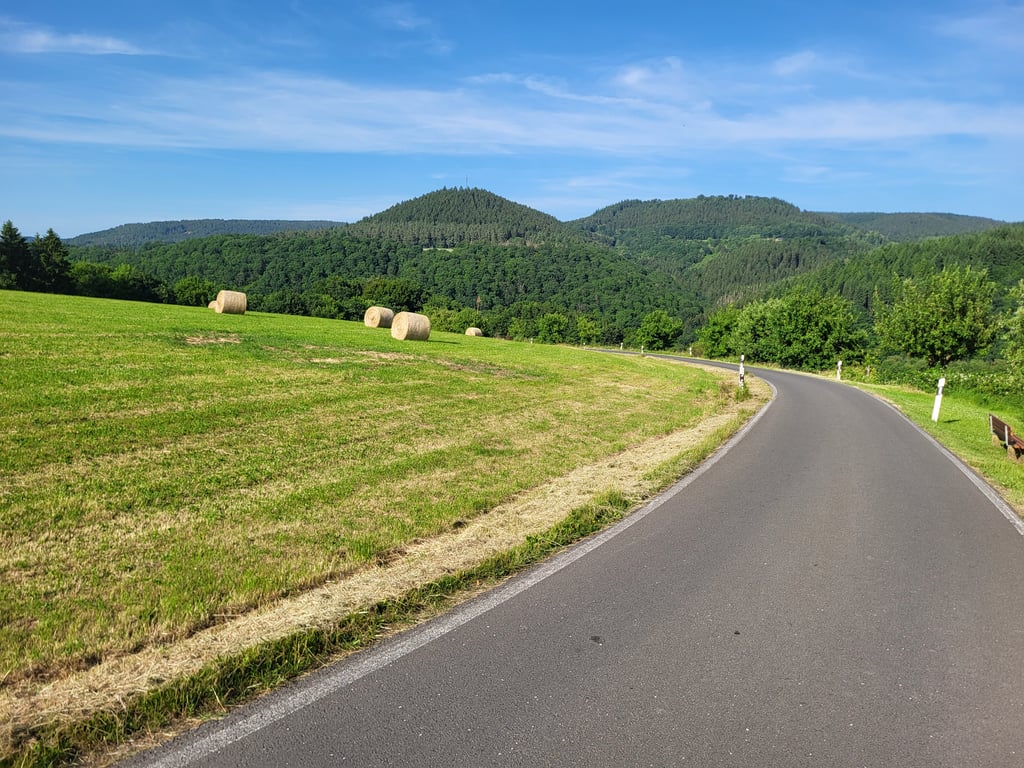
Erntehof from Usch is a climb in the region Eifel. It is 3 km long and bridges 216 m of vertical ascent with an average gradient of 7.2%, resulting in a difficulty score of 194. The top of the ascent is located at 529 m above sea level. Climbfinder users shared 4 reviews of this climb and uploaded 7 photos.
Road names: Altenhofer Straße & K 126
4.0 by dvkThis is an automatic translation, the original language is: Dutch.Nice climb, continues for a while further than Climbfinder currently indicates. Found it one of the spicier ones in the area myself.... read more
Welcome! Please activate your account if you would like to share something. Look for the verification email in your inbox.
If you want to upload your photos, you need to create an account. It only takes 1 minute and it's completely free.
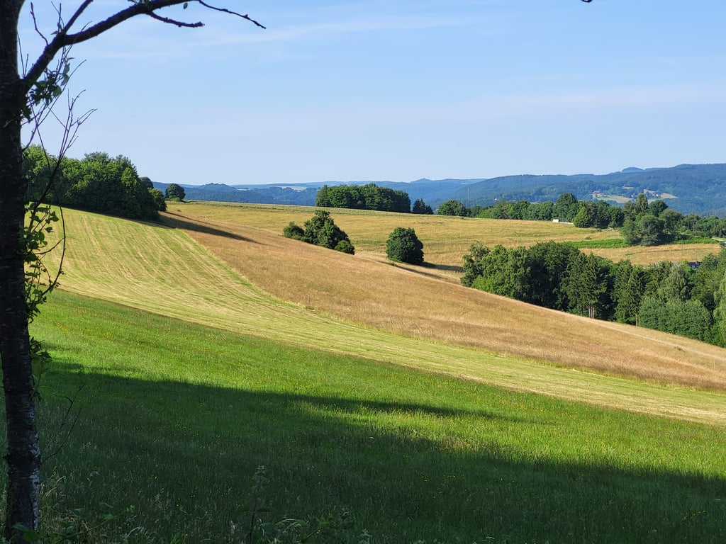
Cycled up twice, and it remains a great fun climb! To start with, the scenery is very beautiful, you get everything from vistas to forest. The road is nice and quiet and the tarmac is nice. Still, the climb itself is pretty tough in places. In the village, you get a bit of a scare when you immediately face more than 15%, but it is only for a short while. After that, you can continue pedalling at more pleasant percentages. At the forest, but especially after the forest, it gets tough again. The hot days made it even harder for us. I was glad that you could clearly see how far the steep parts went, so you can brace yourself a bit. Depending on your fitness level, you can break down well here if you want to.
Definitely recommended if you're in the area! You won't find them this long and beautiful in the Netherlands!
Twee keer opgefiets, en het blijft een geweldig leuke klim! Om te beginnen is het landschap erg mooi, je krijgt vanalles voorgeschoteld, van vergezichten tot bos. De weg is lekker rustig en er ligt mooi asfalt. De klim zelf is toch behoorlijk pittig op sommige plekken. In het dorp is het even schrikken als je meteen meer dan 15% voor de kiezen krijgt, maar dat is maar kort. Daarna kun je rustig verder trappen met prettiger percentages. Bij het bos, maar vooral na het bos wordt het weer aanpoten. De warme dagen maakten het voor ons nog wat zwaarder. Ik was blij dat je goed kon zien hoe ver de steile stukken doorliepen, dan kun je je toch een beetje schrap zetten. Afhankelijk van je conditie, kun je hier goed stuk gaan als je wil.
Zeker een aanrader als je in de omgeving bent! Zo lang en mooi ga je ze in Nederland niet vinden!
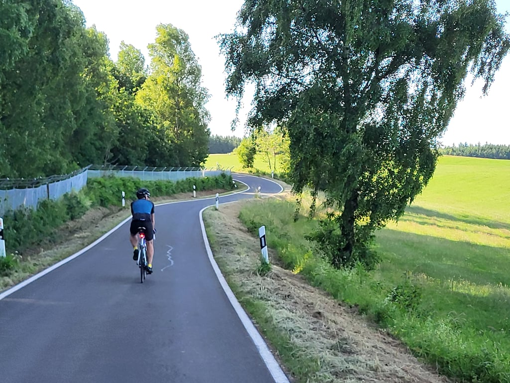
On holiday in Gerolstein for the second time and I wanted to have done this climb based on the reviews, I read here. When I started, it started drizzling and soon it came pouring down. With conditions like that, you're a little less concerned with looking around anyway. But in terms of steepness and length, this is a climb that makes you feel like you're in the high mountains.
Voor de tweede keer op vakantie in Gerolstein en deze klim wilde ik gedaan hebben op basis van de reviews, die ik hier gelezen heb. Toen ik eraan begon, begon het te druppelen en al snel kwam het met bakken naar beneden. Met dat soort omstandigheden ben je toch iets minder bezig met om je heen kijken. Maar dit is qua steilheid en lengte een klim, die je het gevoel geeft dat je in het hooggebergte zit.
Nice climb, continues for a while further than Climbfinder currently indicates. Found it one of the spicier ones in the area myself.
Leuke klim, loopt nog een tijdje verder door dan Climbfinder momenteel aangeeft. Vond hem zelf een van de pittigere uit de omgeving.
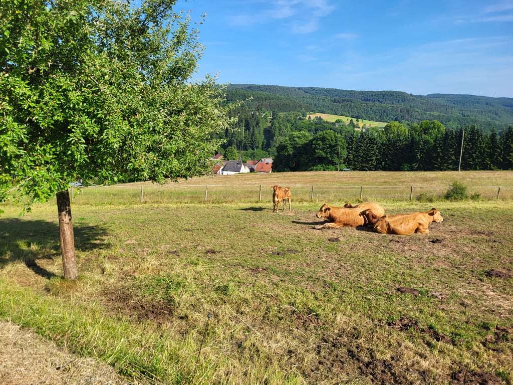
This is a gem of a climb that gives you vista after vista. Along the road, there are cows and horses to add to the fun. The climb itself goes up and down a bit with some steeper sections at times, but they are short. The road surface is a jet black, beautiful tarmac and I saw very little traffic. Of my ride through the region, I thought this was the best climb!
Dit is een juweeltje van een klim die je vergezicht na vergezicht geeft. Langs de weg staan koeien en paarden om de aankleding nog wat leuker te maken. De klim zelf gaat een beetje op en af met soms wat steilere stukjes, maar die zijn maar kort. Het wegdek is gitzwart prachtig asfalt en verkeer zag ik maar weinig. Van mijn rit door de regio vond ik dit de mooiste klim!
| 7 km/h | 00:25:37 |
| 11 km/h | 00:16:18 |
| 15 km/h | 00:11:57 |
| 19 km/h | 00:09:26 |
This page is better in the app