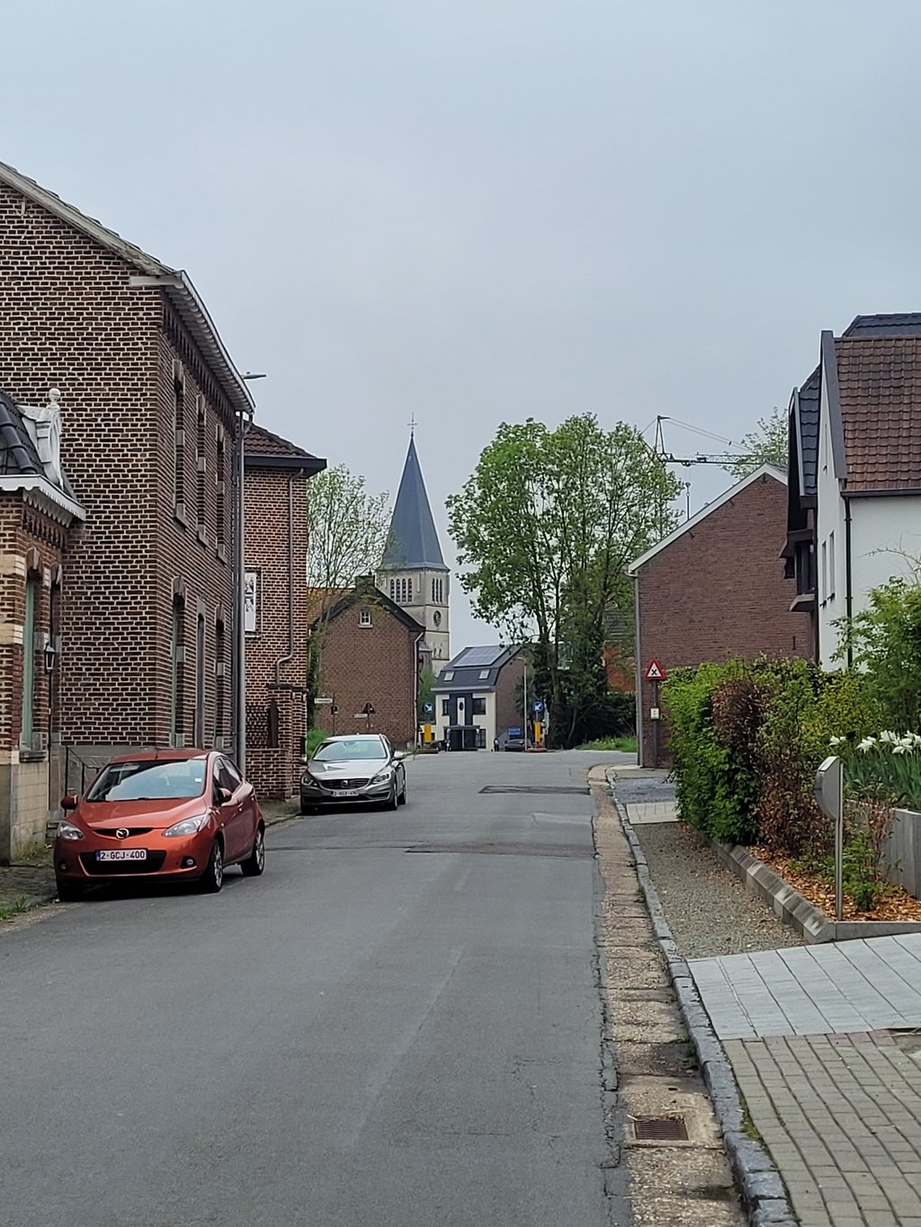
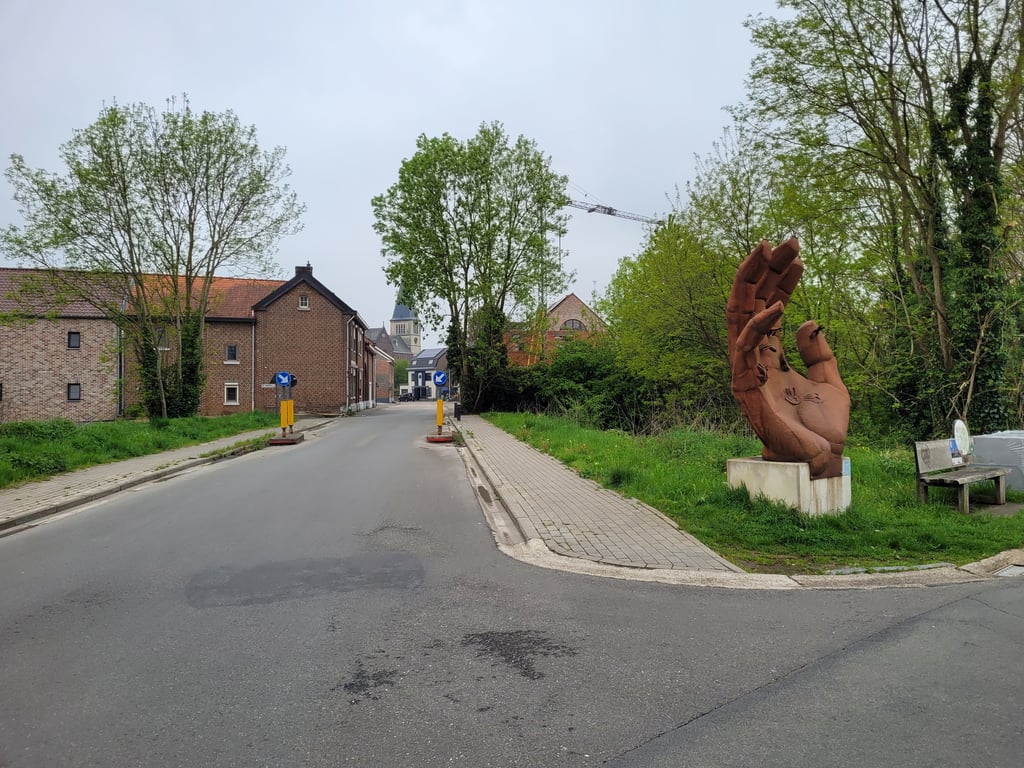
Eigenbilzen via Vossenkuilstraat is a climb in the region Haspengouw. It is 1.1 km long and bridges 27 m of vertical ascent with an average gradient of 2.5%, resulting in a difficulty score of 8. The top of the ascent is located at 87 m above sea level. Climbfinder users shared 3 reviews of this climb and uploaded 8 photos.
Road names: Vossenkuilstraat & Dorpsstraat
2.0 by JarinThis is an automatic translation, the original language is: Dutch.For most of the climb, you hardly realise you are climbing, and once at the church I found out I had already finished the climb. Didn't leave an indelible impression, so only take it if you have to be there. ... read more

Welcome! Please activate your account if you would like to share something. Look for the verification email in your inbox.
If you want to upload your photos, you need to create an account. It only takes 1 minute and it's completely free.
For most of the climb, you hardly realise you are climbing, and once at the church I found out I had already finished the climb. Didn't leave an indelible impression, so only take it if you have to be there.
Het grootste deel van de klim heb je nauwelijks door dat je klimt, en eenmaal bij de kerk kwam ik erachter dat ik de klim al achter de rug had. Heeft geen onuitwisbare indruk achtergelaten, dus alleen nemen als je er moet zijn.
Climb starts shortly after the canal and only towards the end are you really climbing. But by then you're back among the houses.
Klim begint kort na het kanaal en pas tegen het einde ben je echt aan het klimmen. Maar dan sta je alweer tussen de huizen.
A climb over a partly wide but quiet road. You can lengthen the climb a bit (and add some altimeters) by starting from the canal but then you have to cross the road afterwards (which has to be done anyway when you arrive). First part of the climb is mostly false flat. Only near the houses does it climb a bit more. The highest point is at the bridge over the railway (which, incidentally, is barely visible). Good tarmac and the first part is surrounded by greenery.
Een klim over een deels brede maar wel rustige weg. Je kan de klim wat verlengen (en wat hoogtemeters toevoegen) door vanaf het kanaal te beginnen maar dan moet je daarna wel de weg oversteken (wat toch al moet gebeuren als je aan komt rijden). Eerste deel van de klim is vooral vals plat. Pas bij de huizen gaat het wat meer stijgen. Het hoogste punt is bij de brug over het spoor (dat overigens amper zichtbaar is). Goed asfalt en het eerste deel wordt omringd door groen.
| 7 km/h | 00:09:20 |
| 11 km/h | 00:05:56 |
| 15 km/h | 00:04:21 |
| 19 km/h | 00:03:26 |
This page is better in the app