View on map
© MapLibre | OpenStreetMap contributors
1%
2%
4%
6%
8%
10%
12%
15%
20%

Dorpstraat via Slagboomsweg

3.0
2 reviews | Elevation profile | 6 photos
Tips nearby
Dorpstraat via Slagboomsweg
transparant thumb
transparant thumb
Your achievable time
Calculating based on your best performances...
Relaxed
Maximum
W/kg
W/kg
W/kg
Analyse your climbing performance
Detailed insight into your climbing performance & automatically check off climbs
Based on your best performances.
Your best attempt:
Number of attempts:
Elevation profile Dorpstraat via Slagboomsweg

Statistics

Difficulty points 6
Length 0.3 km
Average gradient 4.5%
Steepest 100 metres 6.4%
Total ascent 12 m
Feedback about this climb?
Show climbs nearby Export to GPS device

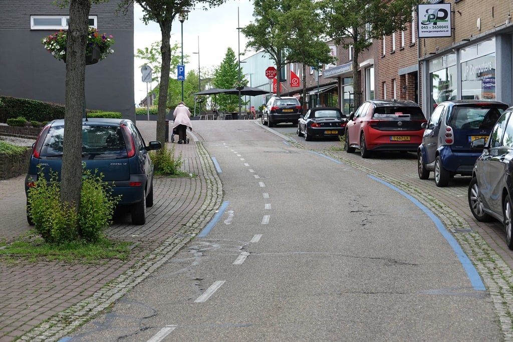
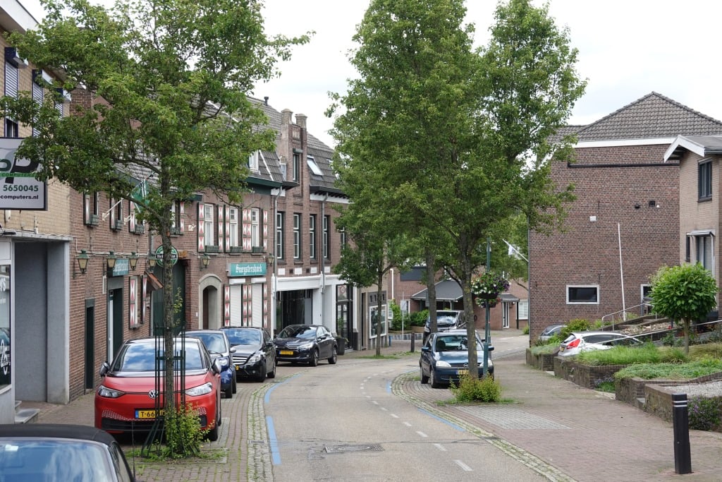
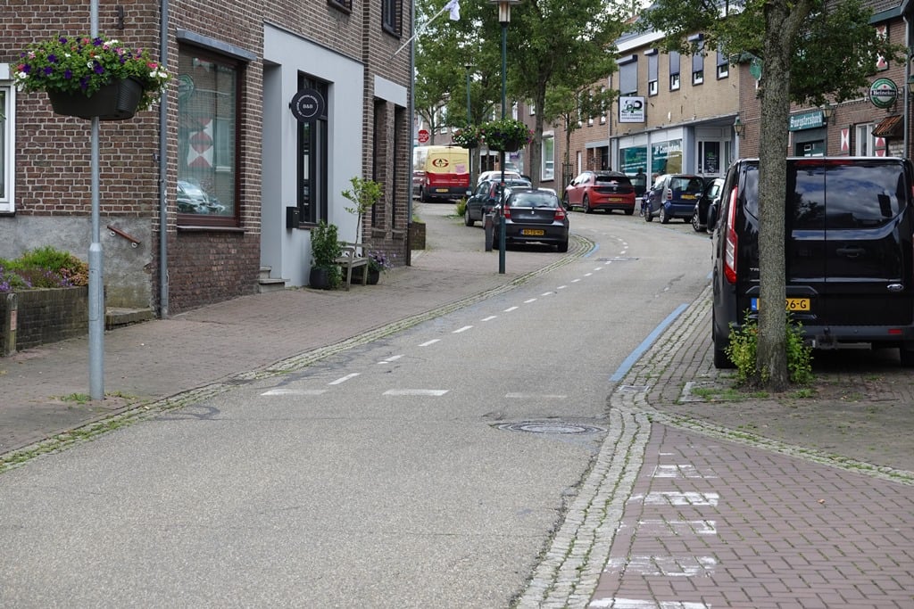
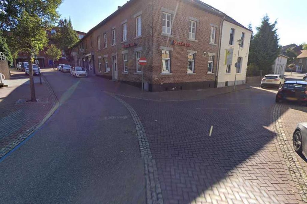
Dorpstraat via Slagboomsweg is a climb in the region South Limburg. It is 0.3 km long and bridges 12 m of vertical ascent with an average gradient of 4.5%, resulting in a difficulty score of 6. The top of the ascent is located at 91 m above sea level. Climbfinder users shared 2 reviews of this climb and uploaded 6 photos.

Road names: Slagboomsweg & Dorpstraat
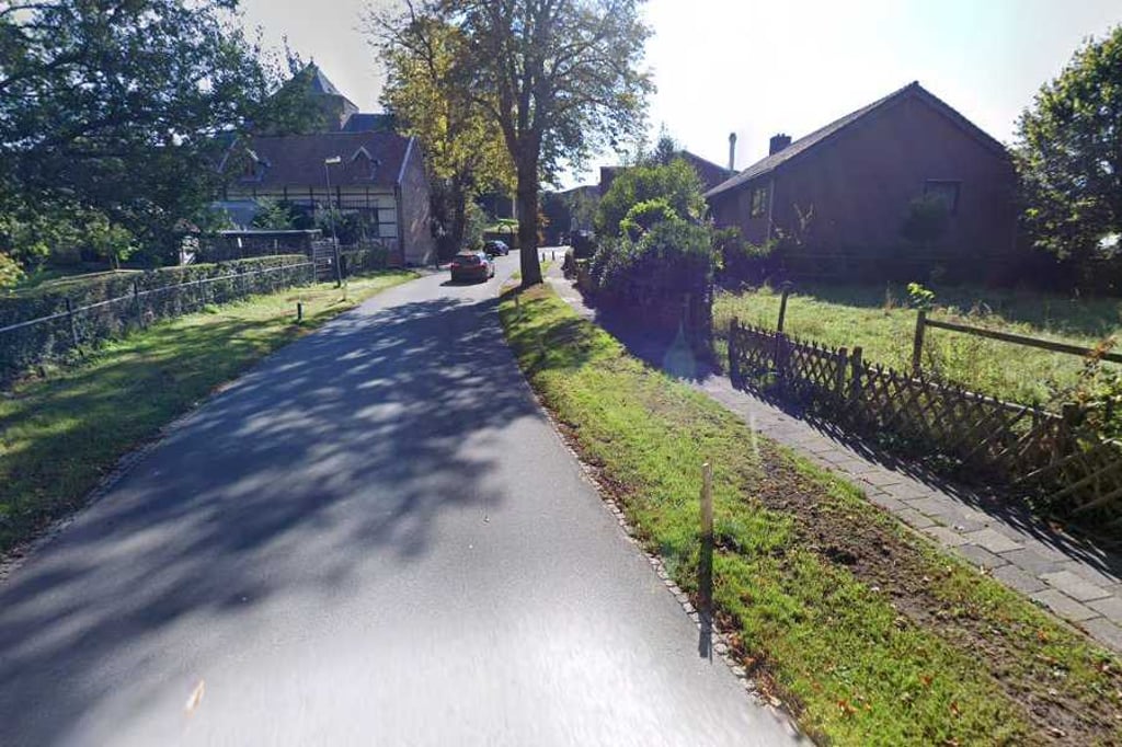
3.0 by Fedor
This is an automatic translation, the original language is: Dutch.
From a nice little creek valley (with handy parking if you want to visit this area), you soon find yourself among the houses with the road past the church continuing to ascend quite a bit.... read more

Photos (6)

Dorpstraat via Slagboomsweg

Your uploads (max 4)

Welcome! Please activate your account if you would like to share something. Look for the verification email in your inbox.

If you want to upload your photos, you need to create an account. It only takes 1 minute and it's completely free.

  • Receive free climbfinder goodies for your reviews & photos.
  • Create a bucket list and check off conquered climbs.
  • Add missing climbs.
Continue with GoogleContinue with Google Continue with FacebookContinue with Facebook Continue with AppleContinue with Apple Sign up with email
By signing up you agree to our terms of service and confirm that you have read our privacy & content policy.

Reviews (2)

5.0
4.0
3.0
2.0
1.0
Fedor
1 y 3.0
This is an automatic translation, the original language is: Dutch. Show original

From a nice little creek valley (with handy parking if you want to visit this area), you soon find yourself among the houses with the road past the church continuing to ascend quite a bit.

Vanuit een leuk beekdalletje (met handige parkeerplaats als je dit gebied wil bezoeken) kom je al snel tussen de huizen waarbij de weg langs de kerk aardig omhoog blijft lopen.

Dorpstraat via Slagboomsweg
Dashboard
BikerJohan
1 y 3.0
This is an automatic translation, the original language is: Dutch. Show original

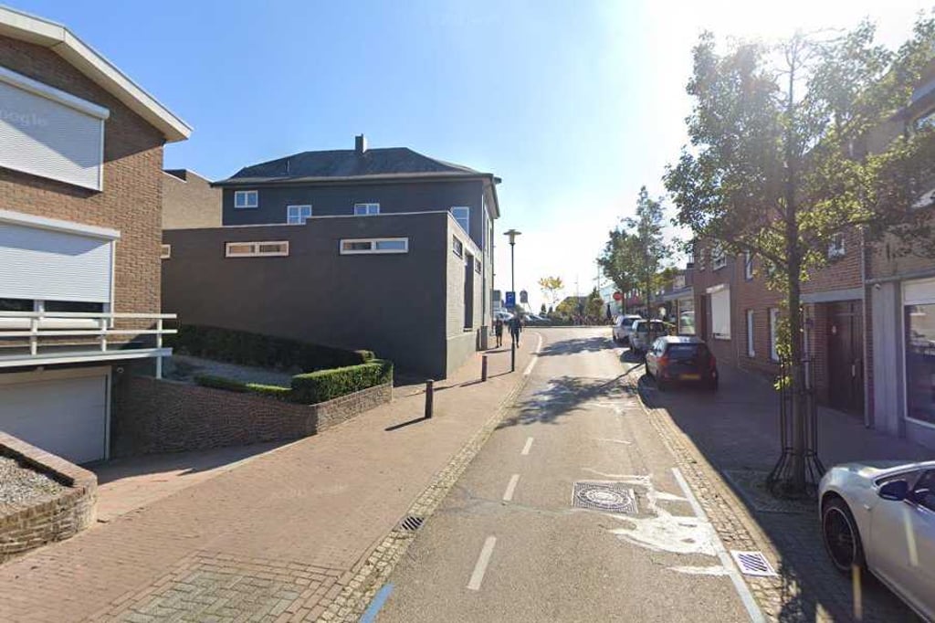
Short climb on the north side of Nuth and the sister/brother of the climb from Platsmolenweg. Coming from the direction of the industrial area, you descend into the Geleenbeek valley. At point where brook flows under Slagboomsweg, the climb begins. At the church, the road turns into Dorpsstraat. At the junction with Stationsstraat you are at the top.

Kort klimmetje aan de noordkant van Nuth en het zusje/broertje van de klim vanaf de Platsmolenweg. Komende uit de richting van het industrieterrein daal je af naar het dal van de Geleenbeek. Op punt waar beek onder de Slagboomsweg doorstroomt begint de klim. Bij de kerk gaat de weg over in de Dorpsstraat. Op splitsing met Stationsstraat ben je op de top.

Dashboard

Climbing times

7 km/h 00:02:20
11 km/h 00:01:29
15 km/h 00:01:05
19 km/h 00:00:51

Road surface condition

0% 0% 0%
Based on 0 votes
Share your knowledge. What was the road condition during your ascent?

Traffic

0% 0% 0%
Based on 0 votes
Your experience counts. How much traffic did you encounter during the climb?

Frequently Asked Questions

Dorpstraat can be cycled from 3 sides. Wienweg via Platsmolenweg is the most popular side, but the summit can also be reached via Dorpstraat via Platsmolenweg & Dorpstraat via Slagboomsweg.

You don't need special gearing for Dorpstraat via Slagboomsweg. The slope isn't long or steep enough to require much shifting down. You can conquer this climb on power alone. However, a compact gearing system with a smallest front chainring of 34 and largest rear sprocket of 28 or 30 is always nice if you enjoy cycling uphill. This helps maintain a smooth cadence.

Dorpstraat via Slagboomsweg is not tough enough to be assigned a mountain category. This means that even untrained cyclists can reach the top without any problems on this climb.

Dorpstraat via Slagboomsweg is 0.3 km long.

The average gradient of Dorpstraat via Slagboomsweg is 4.5%.

Dorpstraat via Slagboomsweg has a steepest segment with an average gradient of 6.4%.

The summit of Dorpstraat via Slagboomsweg is at 91 m.

At a slow pace of 7 km/h, it takes about 00:02:20 to climb Dorpstraat via Slagboomsweg. At 11 km/h the time is 00:01:29, and at 15 km/h 00:01:05. For the fastest cyclists, 00:00:51 is an achievable time.

Dorpstraat via Slagboomsweg is located in the region Limburg in Netherlands.

This page is better in the app

Climbfinder app
Climbfinder
(Free)
Open