Cumbre del Sol / Puig de la Llorença from Alcasar via Calle Jazmines is a climb in the region Costa Blanca. It is 3.6 km long and bridges 383 m of vertical ascent with an average gradient of 10.7%, resulting in a difficulty score of 487. The top of the ascent is located at 438 m above sea level. Climbfinder users shared 1 review/story of this climb and uploaded 3 photos.
Road name: Jazmines
5.0 by klimgeitenThis is an automatic translation, the original language is: Dutch.After cycling some'25 kilometres from Calpe, there is a sign with a bike and route "Puig Llorença" along the road. We follow that and it immediately starts going up steeply. Soon I see 21% appearing on my Garmin. Boy, what a wall! To the left is another road towards the antennas and that is 17 to 20% straight up. I have found another wall to add to the list! Tom Dumoulin won the 9th stage in the 2015 Vuelta here and in memory there is a big sign with his picture on it. H... read more
Welcome! Please activate your account if you would like to share something. Look for the verification email in your inbox.
If you want to upload your photos, you need to create an account. It only takes 1 minute and it's completely free.
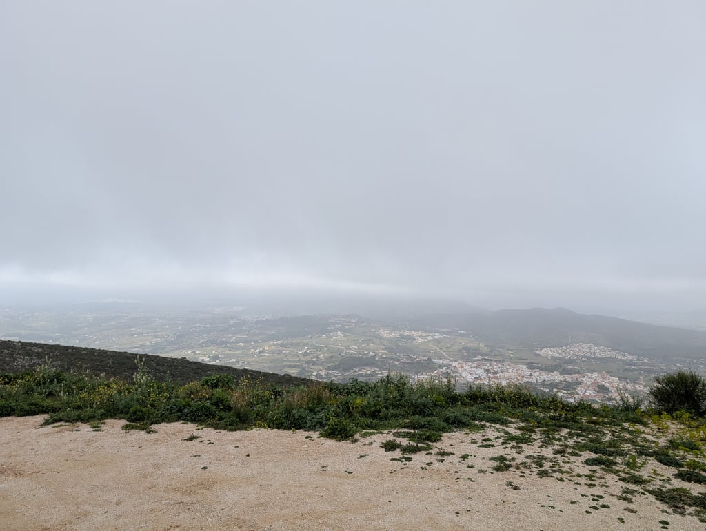
After cycling some'25 kilometres from Calpe, there is a sign with a bike and route "Puig Llorença" along the road.
We follow that and it immediately starts going up steeply. Soon I see 21% appearing on my Garmin. Boy, what a wall!
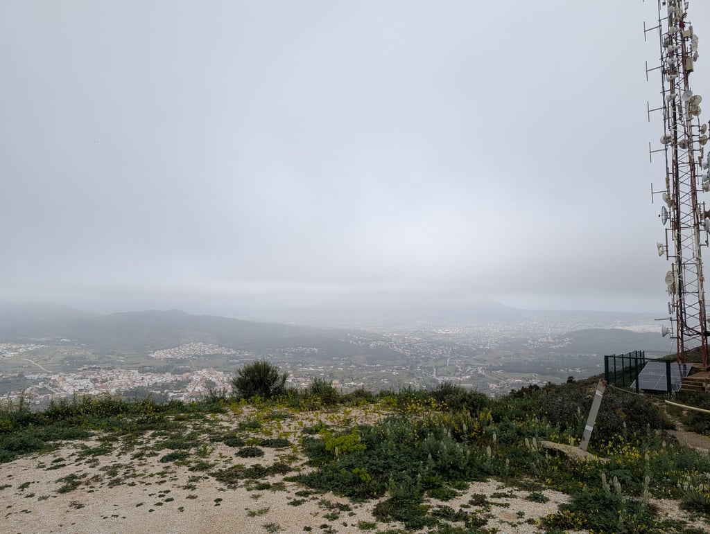
To the left is another road towards the antennas and that is 17 to 20% straight up.
I have found another wall to add to the list!
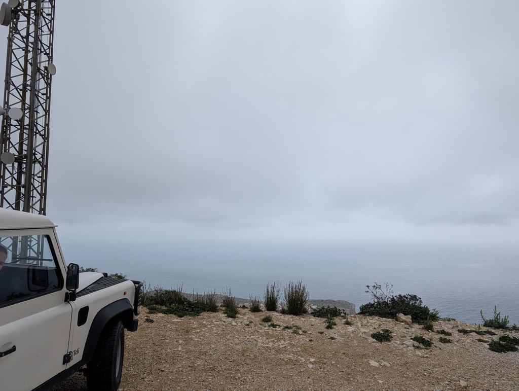
Tom Dumoulin won the 9th stage in the 2015 Vuelta here and in memory there is a big sign with his picture on it.
However, it has faded a bit over the years and is barely legible.
Na zo'n 25 kilometer fietsen vanuit Calpe staat er een bordje met een fiets en route "Puig Llorença" langs de weg.
Die volgen we en het begint meteen al pittig omhoog te lopen. Al spoedig zie ik 21% op mijn Garmin verschijnen. Tjonge wat een muur!
Linksaf loopt nog een weg richting de antennes en dat is 17 tot 20% recht omhoog.
Ik heb weer een muur gevonden die ik aan de lijst kan toevoegen!
Tom Dumoulin won hier de 9de etappe in de Vuelta van 2015 en ter herinnering staat er een groot bord met daarop zijn foto.
Het is echter in de loop der jaren wat verbleekt en nauwelijks nog leesbaar.
| 7 km/h | 00:30:42 |
| 11 km/h | 00:19:32 |
| 15 km/h | 00:14:19 |
| 19 km/h | 00:11:18 |
This page is better in the app