Croce delle Serre from San Michele all'Adige is a climb in the region Trento. It is 8.8 km long and bridges 628 m of vertical ascent with an average gradient of 7.1%, resulting in a difficulty score of 546. The top of the ascent is located at 823 m above sea level. Climbfinder users shared 2 reviews of this climb and uploaded 2 photos.
Road names: Via Edmund Mach, Via Sant'Agata, Via Pineta & SP58
3.0 by PatrickR42This is an automatic translation, the original language is: Italian.From San Michele to Faedo, the climb is fairly even and with gradients that can be tackled even by the untrained. The section after the village of Faedo to get to Pineta starts out slightly downhill... but then it suddenly increases and there is 1 km with demanding gradients. There are 9 km at the end, but once past Pineta it is done.... read more
Welcome! Please activate your account if you would like to share something. Look for the verification email in your inbox.
If you want to upload your photos, you need to create an account. It only takes 1 minute and it's completely free.
From San Michele to Faedo, the climb is fairly even and with gradients that can be tackled even by the untrained. The section after the village of Faedo to get to Pineta starts out slightly downhill... but then it suddenly increases and there is 1 km with demanding gradients. There are 9 km at the end, but once past Pineta it is done.
Da San Michele a Faedo si sale abbastanza regolari e con pendenze abbordabili anche ai poco allenati. Il tratto successivo al paese di Faedo per arrivare a Pineta parte in leggera discesa…ma poi cresce improvvisamente e vi è 1 km con pendenze impegnative. I km alla fine sono 9 ma passata Pineta ormai è fatta
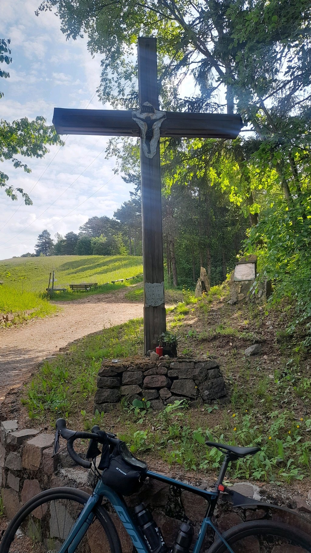
The climb is not long, but it is tough. The first section, up to Faedo, is even and offers wonderful views of the Adige Valley and the mountains, vineyards and river, and the many hairpin bends make the ascent fun. Then, after Faedo, comes the steepest stretch: there are peaks at 15%, perhaps more, but these are only a few metres, although there is a hundred-metre stretch around 14% that goes through the village of Palai. Having finally reached Pineta, the worst is over. We cross the forest to Passo Croce delle Serre (820m) and descend from Masen to Ville di Giovo and back to Trento (all downhill). Fun.
La salita non è lunga, ma è dura. Il primo tratto, fino a Faedo, è regolare e offre splendidi panorami sulla val d'Adige e sulle montagne, sui vigneti e sul fiume, e i molti tornanti rendono divertente l'ascesa. Poi, dopo Faedo, arriva il tratto più ripido: ci sono punte al 15%, forse di più, ma si tratta di pochi metri anche se c'è un tratto di cento metri intorno al 14% che attraversa l'abitato di Palai. Giunti infine a Pineta, il peggio è passato. Si attraversa il bosco fino a Passo Croce delle Serre (820mt) e si scende da Masen fino a Ville di Giovo e ritorno a Trento (tutta discesa). Divertente.
| 7 km/h | 01:15:49 |
| 11 km/h | 00:48:15 |
| 15 km/h | 00:35:23 |
| 19 km/h | 00:27:56 |
This page is better in the app