| Hidden gem |
| #46 toughest climb of Belgian Luxembourg |
| #79 most elevation gain of Heart of the Ardennes |
| #100 average steepest climb of Belgian Ardennes |
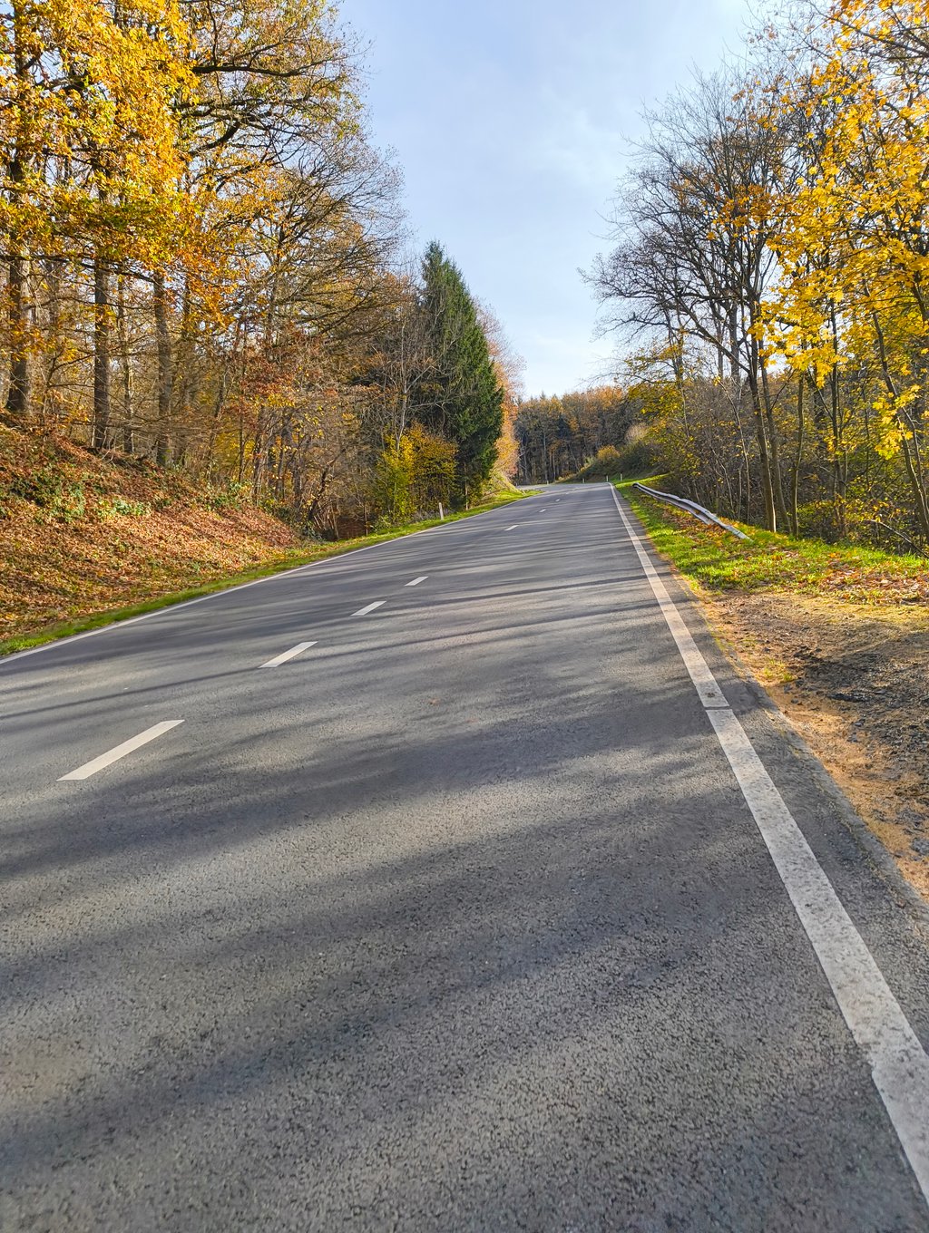
Côte de Beffe is a climb in the region Heart of the Ardennes. It is 1.5 km long and bridges 140 m of vertical ascent with an average gradient of 9.3%, resulting in a difficulty score of 139. The top of the ascent is located at 331 m above sea level. Climbfinder users shared 13 reviews of this climb and uploaded 1 photo.
Road name: Sous le Tonan
4.0 by GriezwardThis is an automatic translation, the original language is: Dutch.Firm and fairly constant climb from the Ourthe Valley towards Beffe. Right from the start you're at high percentages and these remain fairly even up to the top, allowing you to find your pace well. The road is wide and straightforward, with little shelter and some traffic. As a result, the climb lacks some character, but as a workout it is interesting due to the sustained gradient.... read more
Welcome! Please activate your account if you would like to share something. Look for the verification email in your inbox.
If you want to upload your photos, you need to create an account. It only takes 1 minute and it's completely free.
Firm and fairly constant climb from the Ourthe Valley towards Beffe. Right from the start you're at high percentages and these remain fairly even up to the top, allowing you to find your pace well. The road is wide and straightforward, with little shelter and some traffic. As a result, the climb lacks some character, but as a workout it is interesting due to the sustained gradient.
Stevige en vrij constante klim vanuit de Ourthevallei richting Beffe. Vanaf het begin zit je meteen aan hoge percentages en die blijven vrij gelijkmatig doorlopen tot boven, waardoor je goed je tempo kan zoeken. De weg is breed en rechttoe rechtaan, met weinig beschutting en wat verkeer. Daardoor mist de klim wat karakter, maar als training is hij wel interessant door het aanhoudende stijgingspercentage.
A horror if you do this one late on a hot afternoon. No shelter from the sun at all, lots of traffic passing you close by and straight up. I recommend this one to test your legs, but you shouldn't pass here for fun.
Een verschrikking als je deze laat op een warme namiddag doet. Geen enkele beschutting van de zon, veel verkeer dat je kortbij passeert en recht omhoog. Ik raad deze aan om je benen eens te testen, maar voor de gezelligheid moet je hier niet passeren.
I have climbed this hill more than 100 times , I live in Hotton , the road has been renovated and is more pleasant , the traffic depending on the time of day is calm to medium . Maximum speed according to my Garmin 12% . Arrived at the top while taking straight one goes down again, then to go up again then descent until Amonine, then to take on the right for Dochamps Samrée.
J’ai monté cette côte plus de 100 fois , j’habite Hotton , la route à été rénovée et est plus agréable , le trafic suivant les heures est de calme à moyen . Passsage maximum d’après mon Garmin 12% . Arrivé au dessus en prenant tout droit on redescend , puis remonter à nouveau puis descente jusqu’à Amonine , ensuite prenez à droite pour Dochamps Samrée.
Average climb, wide road but gravelly and badly damaged, speed uphill 10km/h, downhill max speed 88km/h.
Montée moyenne , route large mais chaussée granuleuse et fort abîmée , vitesse en montée 10 km/ h , en descente vitesse maxi de 88km/h .
Fortunately, the descent to Marcouray was worthwhile because I did not like the climb itself, especially because of the many cars. It is a wide tarmac road. Okay, it was steeper than I thought... You still hit 10/11%.
Gelukkig was de afdaling richting Marcouray de moeite want de klim zelf vond ik met name door de vele auto's niet zo fijn. Het is een brede asfaltweg. Okee, hij was ook steiler dan ik dacht... Je tikt toch 10/11% aan.
Kittensetter this, from beginning to end quite steep. Fortunately, however, regular, so you can keep up your pace.
If you arrive at the top and you take the right turn at the small roundabout, then it goes a bit further up, but then a bit more gentle.
In itself not the most beautiful climb, there are nicer ones in the area. For example, the Roche a frêne, which is similar in terms of steepness only in a more beautiful and peaceful landscape and better asphalt.
Kuitenbijter deze, van begin tot eind vrij steil. Gelukkig wel regelmatig, dus je kan je wel vastbijten in je tempo.
Als je boven komt en je neemt op het kleine ronde punt de afslag rechts dan loopt het nog wat verder omhoog, maar dan wel wat gezapiger.
Op zich niet de mooiste klim, er zijn er mooiere in de buurt. Bijvoorbeeld de Roche a frêne, die is qua steilte vergelijkbaar alleen in een mooier en rustiger landschap en beter asfalt.
Tricky climb with the constantly steep percentages to the top. However, fairly straightforward to the top on not so good tarmac and some traffic on
Lastige klim met de constant steile percentages tot boven. Echter vrij rechttoe rechtaan naar boven op minder goed asfalt en wel wat verkeer op
I've already cycled quite a lot in the Ourthe region around Hotton, La Roche-en Ardenne, Marche-en-Famenne and the lake of Nisramont and probably climbed up and down every possible hill. As soon as you leave the beautiful Ourthe valley, you have to cycle up anyway, and sometimes it can get quite steep. The road between Rendeux at the bottom of the Ourthe river and Beffe higher up the hill is a nice wide asphalt road and a nice tough climb, a good training for the harder stuff around La Roche-en-Ardenne. For the hiking enthusiasts there is the magnificent hiking route of Lac des Deux Ourthes which starts from the barrage of Nisramont. Beer lovers can taste the delicious La Chouffe beer in the village of Achouffe.
Reeds heel wat gefietst in de streek van de Ourthe rond Hotton, La Roche-en Ardenne, Marche-en-Famenne en het meer van Nisramont en er waarschijnlijk zowat elk mogelijk bergje op en af gefietst. Van zodra men de prachtige Ourthevallei verlaat wordt het sowieso omhoog fietsen en daarbij kan het soms behoorlijk steil worden. De weg tussen Rendeux beneden aan de Ourthe en het hoger gelegen Beffe is een mooie brede asfaltweg en een leuke pittige klim, een goeie training voor het zwaardere werk rond La Roche-en-Ardenne. Voor de wandelliefhebbers is er de schitterende wandelroute van Lac des Deux Ourthes die start vanaf de barrage van Nisramont. De bierliefhebbers kunnen in het dorpje Achouffe van het heerlijke La Chouffe gerstenat proeven.
Nice climb, but nothing special. Wide road with some car traffic and few reference points to see how steep it is. Was surprised to see that it runs up to the 10%.
Aardige klim, maar niet bijzonder. Brede weg met wat autoverkeer en weinig referentiepunten om te zien hoe steil het is. Was verbaasd te zien dat het tegen de 10% loopt.
We are going up and down this little hill this weekend. I am training for the Mont Ventoux.
(17x up and I have once the Mont Ventoux to tackle) whaaaas
Super nice training hill if you come from the low countries!
We gaan dit pukkeltje komend weekend eens een paar keer op en af. Ben in training voor de Mont Ventoux.
(17x omhoog en ik heb 1x de Mont Ventoux te pakken) whaaaas
Super mooi trainings heuveltje als je uit de lage landen komt!
The climb starts in the village along the Ourthe river and ends at Brasserie Beffelyhills. We stayed a bit further and had to descend a bit to the right at the chapel, where we had to climb another 1,5 km. Really worth it. The descent is also the best.
De klim begint in het dorpje aan de Ourthe en loopt tot aan Brasserie Beffelyhills. Wij logeerden een eind verderop en moesten na een stukje afdaling rechts af aan het kapelletje nog een 1,5km.verder klimmen. Echt de moeite. De afdaling is ook de max.
Wide and steep road which can be combined with the second part of Dochamps-Ouest (after Bois d'Arlogne).
Brede en steile weg die gecombineerd kan worden met het tweede deel van Dochamps-Ouest (na Bois d'Arlogne).
Wonderful climb. Work in this area at an outdoor sports company and do this hill occasionally as training or dessert with a good group of cyclists. Always a little 10 minutes of biting the teeth.
Prachtige klim. Werk in dit gebied bij een buitensportbedrijf en doe deze heuvel nu en dan als training of als toetje met een goede groep fietsers. Altijd even een kleine 10 minuten op de tanden bijten.
| 7 km/h | 00:12:57 |
| 11 km/h | 00:08:14 |
| 15 km/h | 00:06:02 |
| 19 km/h | 00:04:46 |
This page is better in the app