View on map
© MapLibre | OpenStreetMap contributors
1%
2%
4%
6%
8%
10%
12%
15%
20%

Côte d'Ernster

3.5
2 reviews | Elevation profile | 5 photos
Tips nearby
Côte d'Ernster
Côte d'Ernster
Côte d'Ernster
Côte d'Ernster
Côte d'Ernster
transparant thumb
transparant thumb
transparant thumb
Your achievable time
Calculating based on your best performances...
Relaxed
Maximum
W/kg
W/kg
W/kg
Analyse your climbing performance
Detailed insight into your climbing performance & automatically check off climbs
Based on your best performances.
Your best attempt:
Number of attempts:
Elevation profile Côte d'Ernster

Statistics

Difficulty points 32
Length 0.7 km
Average gradient 5.9%
Steepest 100 metres 13.2%
Total ascent 41 m
Feedback about this climb?
Show climbs nearby Export to GPS device

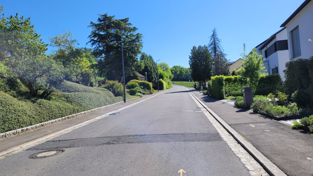
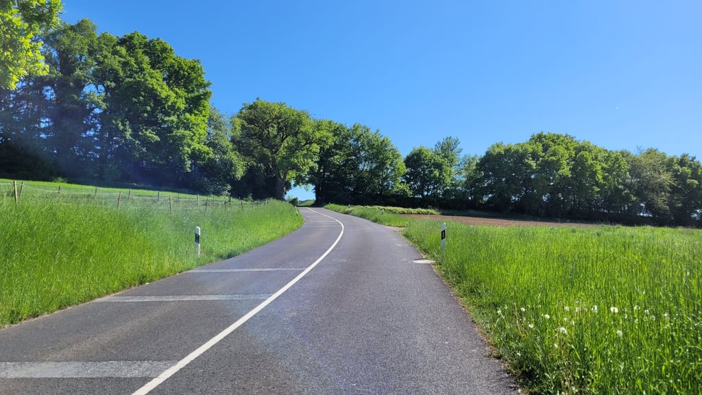
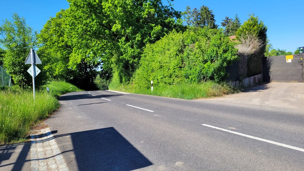
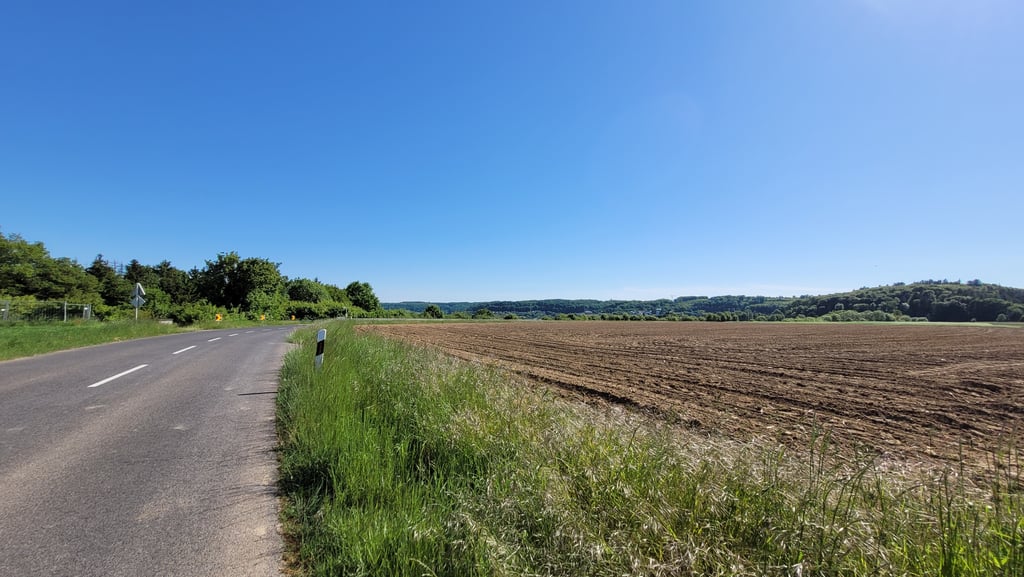
Côte d'Ernster is a climb in the region Luxembourg plateau. It is 0.7 km long and bridges 41 m of vertical ascent with an average gradient of 5.9%, resulting in a difficulty score of 32. The top of the ascent is located at 366 m above sea level. Climbfinder users shared 2 reviews of this climb and uploaded 5 photos.

Road names: Rue Principale & Rue d'Ernster

3.0 by elbowboy
This is an automatic translation, the original language is: German.
Petite montée très fréquentée entre Ernster et le Beiebierg. La dernière partie est plutôt raide mais la montée est très courte. Macadam excellent but unfortunately a lot of traffic. There is a cycle track just on the right in the direction of Rameldange, turning right before crossing Ernster.... read more

Photos (5)

Côte d'Ernster
Côte d'Ernster
Côte d'Ernster
Côte d'Ernster
Côte d'Ernster
transparant thumb

Your uploads (max 4)

Welcome! Please activate your account if you would like to share something. Look for the verification email in your inbox.

If you want to upload your photos, you need to create an account. It only takes 1 minute and it's completely free.

  • Receive free climbfinder goodies for your reviews & photos.
  • Create a bucket list and check off conquered climbs.
  • Add missing climbs.
Continue with GoogleContinue with Google Continue with FacebookContinue with Facebook Continue with AppleContinue with Apple Sign up with email
By signing up you agree to our terms of service and confirm that you have read our privacy & content policy.

Reviews (2)

5.0
4.0
3.0
2.0
1.0
elbowboy
1 y 3.0 via the Climbfinder app
This is an automatic translation, the original language is: German. Show original

Petite montée très fréquentée entre Ernster et le Beiebierg. La dernière partie est plutôt raide mais la montée est très courte. Macadam excellent but unfortunately a lot of traffic. There is a cycle track just on the right in the direction of Rameldange, turning right before crossing Ernster.

Petite montée très fréquentée entre Ernster et le Beiebierg. La dernière partie est plutôt raide mais la montée est très courte. Macadam excellent mais malheureusement beaucoup de trafic. Il y a une piste cyclable juste à côté en direction de Rameldange en tournant à droite avant de quitter Ernster.

Côte d'Ernster
Côte d'Ernster
Côte d'Ernster
Côte d'Ernster
Dashboard
Fun
1 y 4.0

The climb start of easy but gets steeper and steeper towards the end.

Côte d'Ernster
Dashboard

Climbing times

7 km/h 00:05:57
11 km/h 00:03:47
15 km/h 00:02:46
19 km/h 00:02:11

Road surface condition

0% 0% 0%
Based on 0 votes
Share your knowledge. What was the road condition during your ascent?

Traffic

0% 0% 0%
Based on 0 votes
Your experience counts. How much traffic did you encounter during the climb?

Frequently Asked Questions

Côte d'Ernster can be cycled from 3 sides. Côte d'Ernster from Oberanven is the most popular side, but the summit can also be reached via Côte d'Ernster via Rëtsch & Côte d'Ernster.

You don't need special gearing for Côte d'Ernster. The slope isn't long or steep enough to require much shifting down. You can conquer this climb on power alone. However, a compact gearing system with a smallest front chainring of 34 and largest rear sprocket of 28 or 30 is always nice if you enjoy cycling uphill. This helps maintain a smooth cadence.

Côte d'Ernster falls into the 5th category. With good fitness, you can ride it up with speed and power. If you have less training, shift down and climb smoothly.

Côte d'Ernster is 0.7 km long.

The average gradient of Côte d'Ernster is 5.9%.

Côte d'Ernster has a steepest segment with an average gradient of 13.2%.

The summit of Côte d'Ernster is at 366 m.

At a slow pace of 7 km/h, it takes about 00:05:57 to climb Côte d'Ernster. At 11 km/h the time is 00:03:47, and at 15 km/h 00:02:46. For the fastest cyclists, 00:02:11 is an achievable time.

Côte d'Ernster is located in the region Luxembourg plateau in Luxembourg.

This page is better in the app

Climbfinder app
Climbfinder
(Free)
Open