| 8 hairpin turns |
| #15 toughest climb of Costa Brava |
| #16 most elevation gain of Costa Brava |
| #18 longest climb of Costa Brava |
| #73 average steepest climb of Costa Brava |
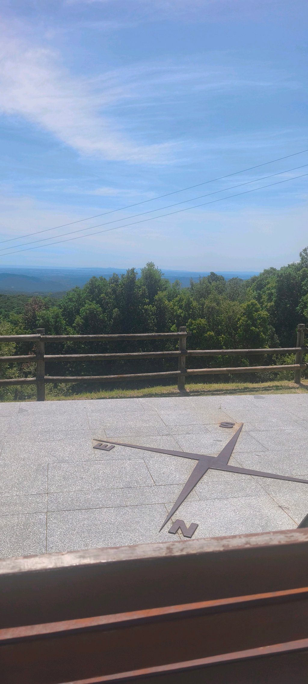
Coll de Manrella from Maçanet de Cabrenys is a climb in the region Costa Brava. It is 8.8 km long and bridges 444 m of vertical ascent with an average gradient of 5%, resulting in a difficulty score of 356. The top of the ascent is located at 716 m above sea level. Climbfinder users shared 1 review/story of this climb and uploaded 5 photos.
Road names: Carretera de Maçanet de Cabrenys a la Vajol, Carretera de les Mines, Carrer Joaquim Llansó & GI-505
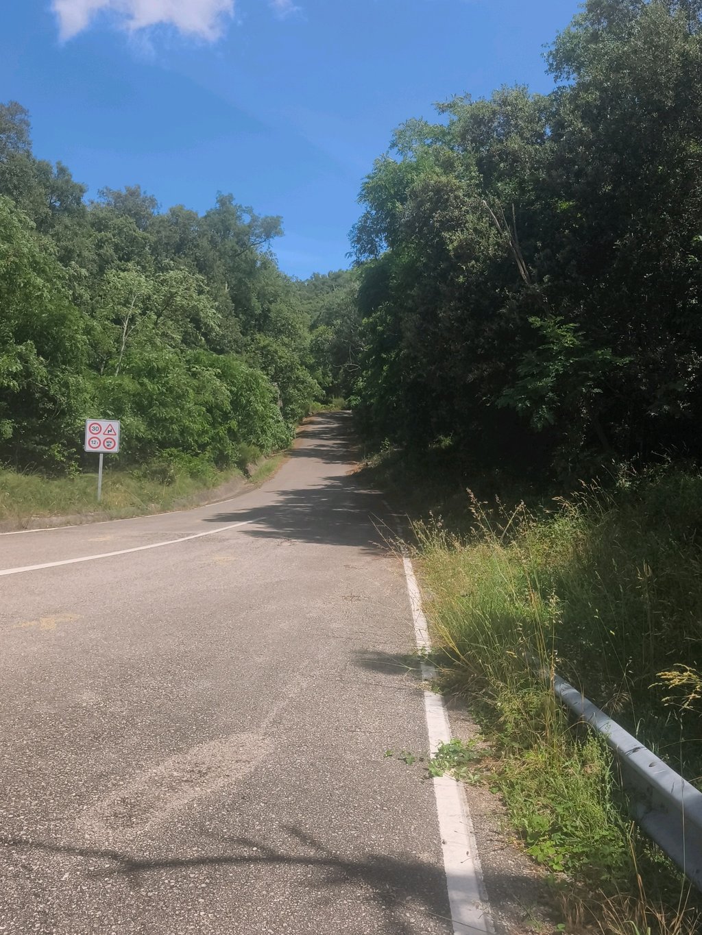
3.0 by PlakboekThis is an automatic translation, the original language is: Dutch.The devil is in the head, the first few kilometres contain a few tough sections. After Vajol, turn left on the GI-505 for about 3km gradually up to a dirt 'roundabout'. You can then take another unpaved path (approx. 1km) towards Las Illas (Fr). There it can be surprisingly crowded with cars's. The climb offers some nice views over the valley towards Figueres and the bay of Roses. This climb is more enjoyable than the climb towards Coustouges.... read more
Welcome! Please activate your account if you would like to share something. Look for the verification email in your inbox.
If you want to upload your photos, you need to create an account. It only takes 1 minute and it's completely free.
The devil is in the head, the first few kilometres contain a few tough sections. After Vajol, turn left on the GI-505 for about 3km gradually up to a dirt 'roundabout'. You can then take another unpaved path (approx. 1km) towards Las Illas (Fr). There it can be surprisingly crowded with cars's. The climb offers some nice views over the valley towards Figueres and the bay of Roses.
This climb is more enjoyable than the climb towards Coustouges.
Het venijn zit in de kop, de eerste paar kilometers zitten een paar pittige stukken tussen. Na Vajol linksaf de GI-505 ca. 3km geleidelijk omhoog tot een onverharde 'rotonde'. Vervolgens kan je nog via een onverhard pad (ca. 1km) richting Las Illas (Fr). Daar kan het verbazingwekkend druk zijn met auto's. De klim biedt een paar mooie uitzichten over de vallei richting Figueres en de baai van Roses.
Deze klim is leuker dan de klim richting Coustouges.
| 7 km/h | 01:15:24 |
| 11 km/h | 00:47:59 |
| 15 km/h | 00:35:11 |
| 19 km/h | 00:27:46 |
This page is better in the app