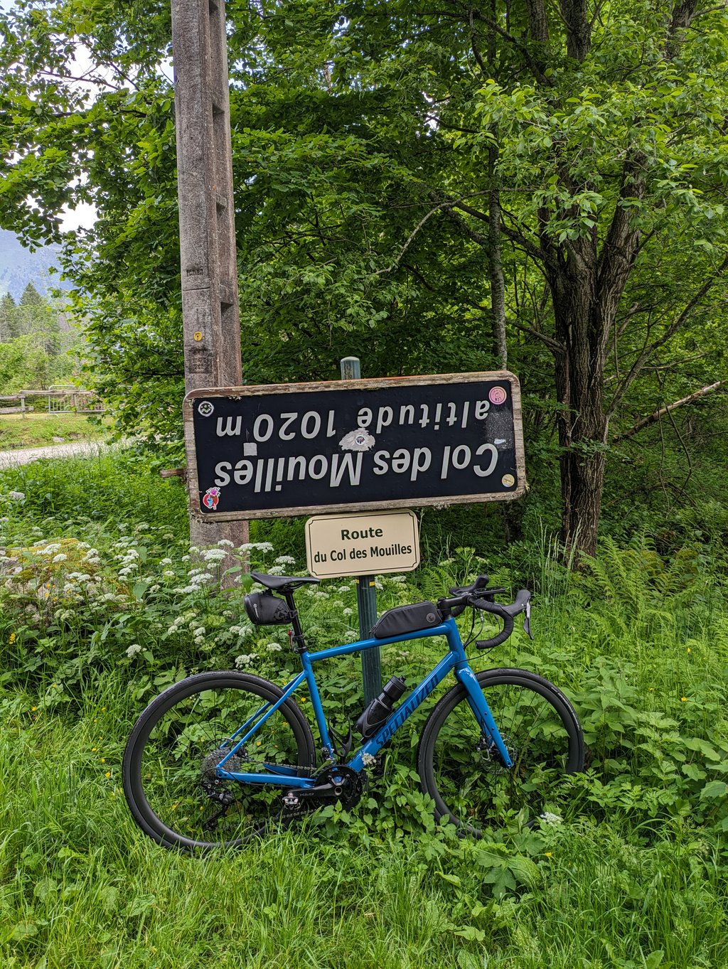
Col des Mouilles from Brignoud via Laval-en-Belledonne is a climb in the region Grenoble. It is 12 km long and bridges 762 m of vertical ascent with an average gradient of 6.3%, resulting in a difficulty score of 594. The top of the ascent is located at 1021 m above sea level. Climbfinder users shared 3 reviews of this climb and uploaded 3 photos.
Road name: D280
4.0 by WouterThis is an automatic translation, the original language is: Dutch.This one only becomes really nice and pleasant cycling once you pass the village of Laval-en-Belledonne and the small descent there. From here it is much quieter and you can enjoy beautiful views. There is nothing special at the top. If you descend on the other side via Le Mollard and Saint-Agnés be careful, as the road is narrow and the road surface is in poor condition along almost its entire length.... read more
Welcome! Please activate your account if you would like to share something. Look for the verification email in your inbox.
If you want to upload your photos, you need to create an account. It only takes 1 minute and it's completely free.
This one only becomes really nice and pleasant cycling once you pass the village of Laval-en-Belledonne and the small descent there. From here it is much quieter and you can enjoy beautiful views. There is nothing special at the top. If you descend on the other side via Le Mollard and Saint-Agnés be careful, as the road is narrow and the road surface is in poor condition along almost its entire length.
Deze wordt pas echt mooi en aangenaam fietsen als je het dorp Laval-en-Belledonne en de kleine afdaling daar voorbij bent. Vanaf hier is het veel rustiger en kan je genieten van mooie uitzichten. Aan de top is niets speciaal. Als je langs de andere kant afdaalt via Le Mollard en Saint-Agnés goed opletten, want de weg is smal en het wegdek is over bijna de gehele lengte in slechte staat.
I see that the profile now includes the initial Brignoud-Laval part. Good for you :-) The profile of this part seems correct to me, except for the beginning at 12 % which seems to me overestimated, and the indicated part at 2 % which seems to me on the contrary underestimated. But these are my impressions after having climbed it, I am not equipped to measure percentages...
Je vois que le profil inclut maintenant la partie initiale Brignoud-Laval. Tant mieux :-) Le profil de cette partie me paraît correct, à part le début à 12 % qui me semble surestimé, et la partie indiquée à 2 % qui me semble au contraire sous-estimée. Mais ce sont mes impressions après l'avoir grimpée, je ne suis pas équipé pour mesurer les pourcentages…
This climb actually starts in Brignoud, in the Grésivaudan valley, much lower than Laval-en-Belledonne which was curiously chosen as the starting point of this climb.
So it would be a good idea to join to this profile that of the road from Brignoud to Laval, which climbs fairly steadily for 4-5 km on a fairly regular gradient, varying from 6% to 8% at a guess.
This part, from Brignoud to Laval, takes a wide road (two well-designed lanes), clear (beautiful views over the valley), frequented and in very good condition. Then, the road taken here going from Laval to La Boutière (there is a possible variant on the other side of the Laval stream) is much narrower and less frequented, first forest and then country. It is also in poorer condition. It's not very noticeable on the way up, but much more so on the way down.
The last part, in the forest, takes the Balcon de Belledonne road to the Mouilles pass.
Overall, a rather interesting, varied climb, never very difficult, contrary to the other side which is much steeper.
Cette montée commence en fait à Brignoud, dans la vallée du Grésivaudan, beaucoup plus bas que Laval-en-Belledonne qui a été curieusement choisi comme point de départ de cette montée.
Ce serait donc une bonne idée de joindre à ce profil celui de la route allant de Brignoud à Laval, qui monte assez régulièrement pendant 4-5 km selon une pente assez régulière, variant de 6% à 8% au jugé.
Cette partie-là, de Brignoud à Laval, emprunte une route large (deux voies bien dessinées), dégagée (beaux points de vue sur la vallée), fréquentée et en très bon état. Ensuite, la route reprise ici allant de Laval à La Boutière (il y a une variante possible de l'autre côté du ruisseau de Laval) est nettement plus étroite et moins fréquentée, forestière d'abord et champêtre ensuite. Elle est également en moins bon état. Ce n'est pas très sensible en montée, mais bien plus en descente.
La dernière partie, en forêt, emprunte la route du Balcon de Belledonne jusqu'au col des Mouilles.
Globalement, une montée assez intéressante, variée, jamais très difficile, contrairement à l'autre versant sensiblement plus raide.
| 7 km/h | 01:42:57 |
| 11 km/h | 01:05:31 |
| 15 km/h | 00:48:02 |
| 19 km/h | 00:37:55 |
This page is better in the app