| 10 hairpin turns |
| #74 toughest climb of Switzerland |
| #57 most elevation gain of Switzerland |
| #81 longest climb of Switzerland |
| #70 average steepest climb of Vaud |
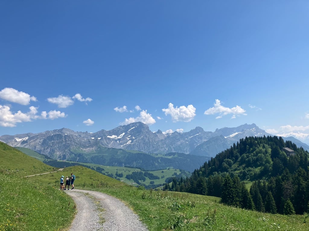
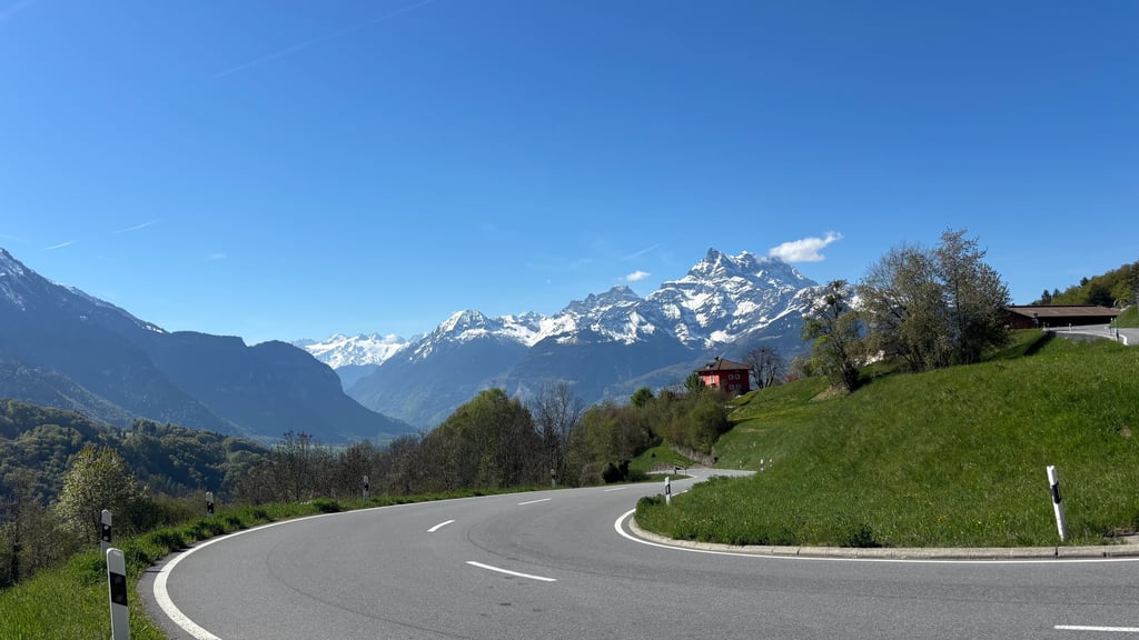
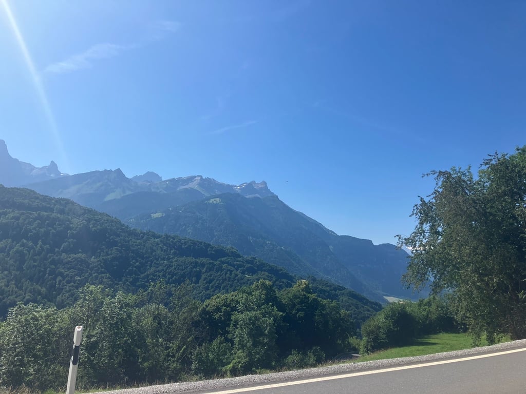
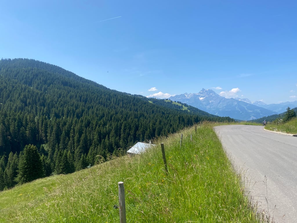
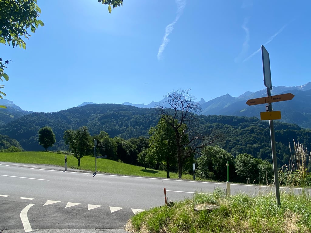
Col de la Croix from Ollon is a climb in the region Vaud. It is 18.2 km long and bridges 1303 m of vertical ascent with an average gradient of 7.2%, resulting in a difficulty score of 1130. The top of the ascent is located at 1778 m above sea level. Climbfinder users shared 7 reviews of this climb and uploaded 22 photos.
Road names: Route de Villars, Route de Villars, Route de Villars & Route du Col de la Croix
5.0 by elbowboyThis is an automatic translation, the original language is: French.A highly recommended climb that often features in the Tours de France/Switzerland/Romandie. Follow the Rhône cycle path to Ollon. Between Ollon and Villars-sur-Ollon it's 10 km with a difference in altitude of around 880 m (max 14%). Up to Villars there's a lot of traffic but the road is quite wide. At Villars you're at 1300 m and have around 500 m of ascent left over 8 km. While the beginning is fairly easy (sometimes only 2%, the last 8 km are well posted by the roadside), ... read more
Welcome! Please activate your account if you would like to share something. Look for the verification email in your inbox.
If you want to upload your photos, you need to create an account. It only takes 1 minute and it's completely free.
It's a pretty climb though quite busy road until Villars. It's hard under the heat of the summer sun but once above 1000 m it isn't a problem anymore. The 9% gradient at the end isn't visually impressive but your legs feel it after 2 hours climbing
What a descent on perfect tarmac saw lots of folk climbing, but I was in my element going down
Loved every moment off this ascent even navigating the tram tracks
Long but constant climb to col de la Croix. The road was well travelled up to Villars (Sunday). After that there was hardly any traffic. The route is mostly blazing in the sun, but there are some picturesque views. My conclusion: there are more beautiful passes, but if you are in the neighbourhood I would recommend it.
Langer aber konstanter Anstieg bis col de la Croix. Die Strasse war bis Villars gut befahren (Sonntag). Danach gab es aber kaum mehr Verkehr. Die Route ist meistens prall in der Sonne, denoch gibt es einige malerische Ausblicke. Mein Fazit: es gibt schönere Pässe, aber wenn man in der Nähe würde ich es empfehlen.
Stunningly beautiful climb. Easily accessible by taking the train to Aigle and then only a few Ks to Ollon. From there it's relatively steep and consistent up to Villar. After a few Ks out of Villar the slope evens out for a stretch presenting a great opportunity to take in the magnificent view, eat a bar, or a personal favorite, go ambitiously fast on the drops. If you've done anything other than that last option you'll be fine for the last few steeps Ks.
A highly recommended climb that often features in the Tours de France/Switzerland/Romandie. Follow the Rhône cycle path to Ollon. Between Ollon and Villars-sur-Ollon it's 10 km with a difference in altitude of around 880 m (max 14%). Up to Villars there's a lot of traffic but the road is quite wide. At Villars you're at 1300 m and have around 500 m of ascent left over 8 km. While the beginning is fairly easy (sometimes only 2%, the last 8 km are well posted by the roadside), the last 4 km are steep. The views are magnificent and from Villars there is little traffic. The pass is very pretty, with a small refreshment area. From here, you can descend to Les Diablerets. A must-do :)
Une montée très recommandée qui figure souvent parmi les ascensions des Tours de France/Suisse/Romandie. Suivez la piste cyclable du Rhône jusqu'à Ollon. Entre Ollon et Villars-sur-Ollon c'est 10 km à franchir avec un dénivelé d'environ 880 m (max 14%). Jusqu'à Villars il y a beaucoup de trafic mais la rue est assez large. À Villars vous êtes à 1300 m et il vous restent environ 500 m de dénivelé sur 8 km. Alors que le début soit assez facile (parfois seulement 2%, les derniers 8 km sont bien affichés au bord de la route), les derniers 4 km sont raides. La vue est magnifique et à partir de Villars il y a peu de trafic. Le col est très joli avec une petite buvette. À partir de là, on peut descendre vers les Diablerets. À faire absolument :)
Very nice climb! Quiet road that winds up the mountain while the landscape becomes more and more beautiful: recommended!
Hele fijne klim! Rustige weg die de berg opslingert terwijl het landschap steeds mooier wordt: aanrader!
| 7 km/h | 02:36:06 |
| 11 km/h | 01:39:20 |
| 15 km/h | 01:12:51 |
| 19 km/h | 00:57:30 |
This page is better in the app