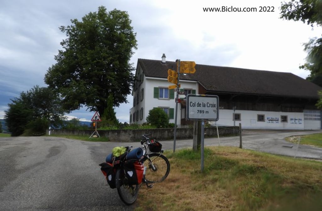
Col de la Croix from Courgenay is a climb in the region Kanton Jura . It is 4.9 km long and bridges 309 m of vertical ascent with an average gradient of 6.4%, resulting in a difficulty score of 280. The top of the ascent is located at 789 m above sea level. Climbfinder users shared 2 reviews of this climb and uploaded 1 photo.
Road names: Route du Monterri, Route des Romains & Sur Moron
3.0 by GremsThis is an automatic translation, the original language is: French.Very nice but not easy. There are some very steep sections.... read more
Welcome! Please activate your account if you would like to share something. Look for the verification email in your inbox.
If you want to upload your photos, you need to create an account. It only takes 1 minute and it's completely free.
claudio was there in 2022 had the bags.
PK du brutal mais zoli
the descent to st Ursanne, very little!
And in the rain.
How long did it take? Not looked at the goal was to pass already
claudio y passa en 2022 avait les sacoches.
PK du brutal mais zoli
la descente sur st Ursanne , la peu !
Et sous la pluie.
Le temps mis ? Pas regardé le but était de passer déjà
| 7 km/h | 00:41:39 |
| 11 km/h | 00:26:30 |
| 15 km/h | 00:19:26 |
| 19 km/h | 00:15:20 |
This page is better in the app