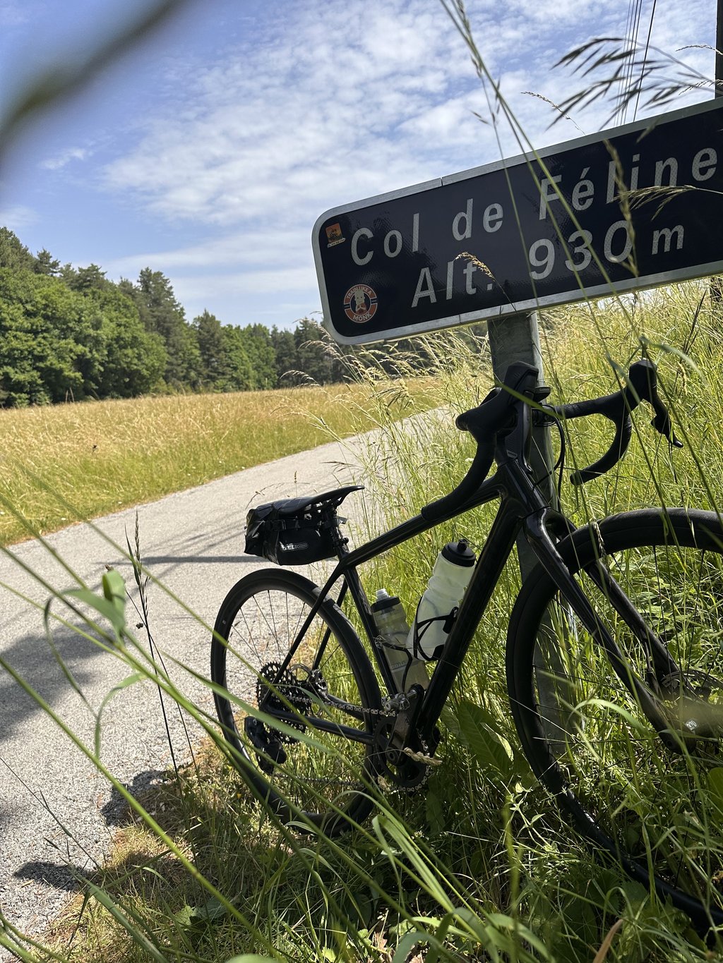
Col de Félines is a climb in the region Alpes-de-Haute-Provence. It is 2 km long and bridges 99 m of vertical ascent with an average gradient of 4.9%, resulting in a difficulty score of 92. The top of the ascent is located at 933 m above sea level. Climbfinder users shared 4 reviews of this climb and uploaded 4 photos.
part of a fun loop from puget-theniers. narrow winding road nice views. pity too many motorbikes spoiled it on steeper sections. the descent into Entrevaux is very pretty....read more
Photos (4)
Welcome! Please activate your account if you would like to share something. Look for the verification email in your inbox.
part of a fun loop from puget-theniers. narrow winding road nice views. pity too many motorbikes spoiled it on steeper sections. the descent into Entrevaux is very pretty.
This is an automatic translation, the original language is: French.
Show original
Well, if you've come up from Entrevaux, why not retrace your steps!
At the same time, there are other options (Trébuchet, Buis...).
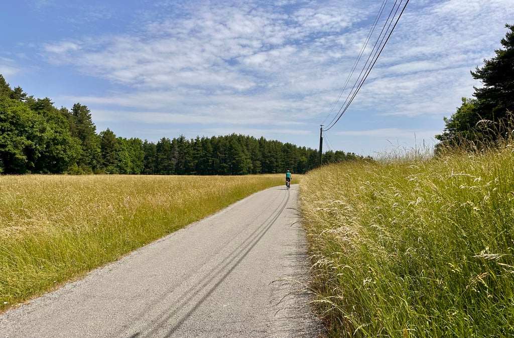
The central section stings a little, but it's very short. The road is clean and deserted. In short, a 2km pass and 92 points...
Bon, si vous êtes monté depuis Entrevaux, pourquoi ne pas revenir sur vos pas !
À la fois, il y a d’autres options (Trébuchet, Buis…).
La partie centrale pique un peu mais elle est très courte. La route est propre et déserte. Bref, un col de 2km et de 92 points…
This is an automatic translation, the original language is: French.
Show original
The ascent of the Serre is as terrible as ever. Once you reach the oratory, you are saved! The rest of the climb is quite good and ends up on a wooded passage before leading to a beautiful clearing. The descent to Entrevaux by the other side is charming and will offer you a beautiful view of the citadel on arrival.
La montée de la Serre toujours aussi terrible. Arrivé à l'oratoire, vous êtes sauvé ! Le reste se monte assez bien et finit sur un passage boisé avant de déboucher sur une belle clairière. La descente vers Entrevaux par l'autre versant est charmante et vous offrira une très belle vue sur la citadelle en arrivant.
This is an automatic translation, the original language is: Dutch.
Show original
Irregularly spicy thing this one! Especially the start when coming from Venières is a blast with pieces 15%. There is also a nice short climb through a pine forest. Just before the top, on the right hand side, there is a refreshing source of mountain water.
Onregelmatig pittig ding deze! Vooral de start als je vanuit Venières komt is met stukken 15% een knaller. Verder mooi kort klimmetje door een dennenbos. Vlak voor de top aan de rechterkant een verfrissend bronnetje met bergwater.
You don't need special gearing for Col de Félines. The slope isn't long or steep enough to require much shifting down. You can conquer this climb on power alone. However, a compact gearing system with a smallest front chainring of 34 and largest rear sprocket of 28 or 30 is always nice if you enjoy cycling uphill. This helps maintain a smooth cadence.
Col de Félines is a 4th-category climb. A sprint to the top is usually not an option, and untrained riders will definitely feel it in their legs. For trained cyclists, it is a great training climb.
Col de Félines is 2 km long.
The average gradient of Col de Félines is 4.9%.
Col de Félines has a steepest segment with an average gradient of 17%.
The summit of Col de Félines is at 933 m.
At a slow pace of 7 km/h, it takes about 00:17:28 to climb Col de Félines. At 11 km/h the time is 00:11:06, and at 15 km/h 00:08:09. For the fastest cyclists, 00:06:26 is an achievable time.