| Hidden gem |
| #73 toughest climb of Valleys of the Vesdre, de l'Amblève et de l'Ourthe |
| #95 most elevation gain of Valleys of the Vesdre, de l'Amblève et de l'Ourthe |
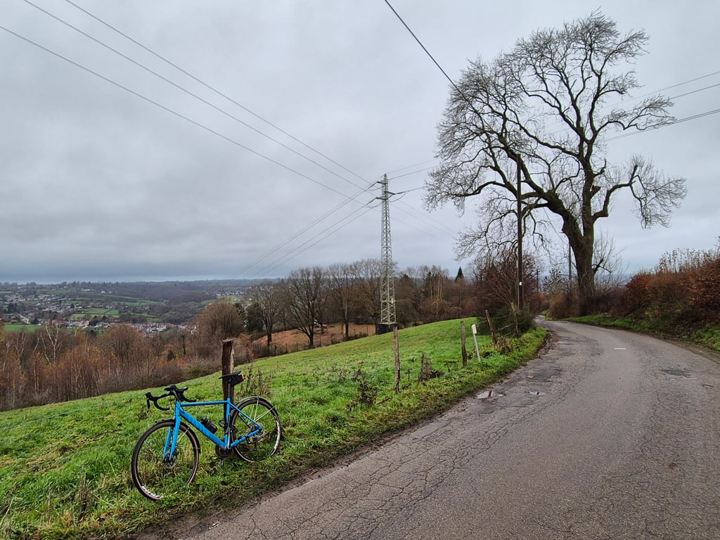
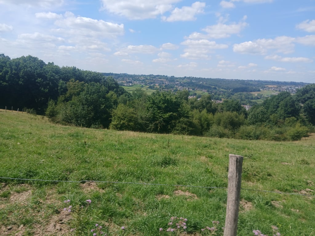
Chemin du Haras is a climb in the region Valleys of the Vesdre, de l'Amblève et de l'Ourthe. It is 3.6 km long and bridges 193 m of vertical ascent with an average gradient of 5.3%, resulting in a difficulty score of 147. The top of the ascent is located at 338 m above sea level. Climbfinder users shared 6 reviews of this climb and uploaded 24 photos.
Road names: Rue de la Sauniere, Rue du Canal, Rue Trou Brasy, Chemn du Haras, Drève de Maison Bois & Maison Bois
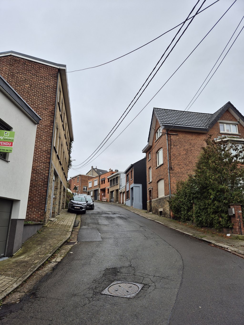
4.0 by WouterThis is an automatic translation, the original language is: Dutch.A climb that takes you through three parts of Verviers: the busy lower town, a residential area and then past a golf course towards the end. Road surface is pretty bad in most places, but it is quiet.... read more
Welcome! Please activate your account if you would like to share something. Look for the verification email in your inbox.
If you want to upload your photos, you need to create an account. It only takes 1 minute and it's completely free.
A climb that takes you through three parts of Verviers: the busy lower town, a residential area and then past a golf course towards the end. Road surface is pretty bad in most places, but it is quiet.
Een klim die je door drie delen van Verviers neemt: de drukke benedenstad, een woonwijk en dan tegen het einde langs een golfterrein. Wegdek is op de meeste plaatsen vrij slecht, maar het is wel rustig.
Absolutely 1 of the most beautiful climbs in the area! After the railway bridge you first climb through a not so nice-looking residential area but once the road turns left you cycle through shrub hedges with beautiful views all around. After crossing the hamlet of Ensival you then make your way over a stretch of new tarmac but after that the tarmac does get bad at times, but on the better stretches you can enjoy the beautiful surroundings. Highly recommended!!!
Absoluut 1 van de mooiste beklimmingen in de omgeving! Na de spoorbrug klim je eerst door een niet zo mooi ogende woonwijk maar als de weg eenmaal links afbuigt fiets je struikenhagen met prachtig uitzicht rondom. Nadat je het gehucht Ensival hebt doorgestoken vervolgens je je weg over een stukje nieuw asfalt maar daarna wordt het asfalt af en toe wel slecht, maar op de betere stukken kun je genieten van de prachtige omgeving. Aanrader!!
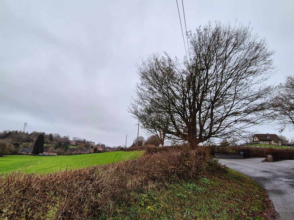
One of the most difficult climbs in the Verviers region! Unlike most of the climbs, this one is quite long, but still quite steep for a good part of it. Once you reach the top, you overlook the Vesdre valley and the scenery is pleasant.
Une des montées les plus difficiles de la région de Verviers ! A l'inverse de la plupart, celle-ci est assez longue, et malgré tout assez raide sur une bonne partie. Une fois vers le haut, on surplombe la vallée de la Vesdre et les paysages sont agréables.
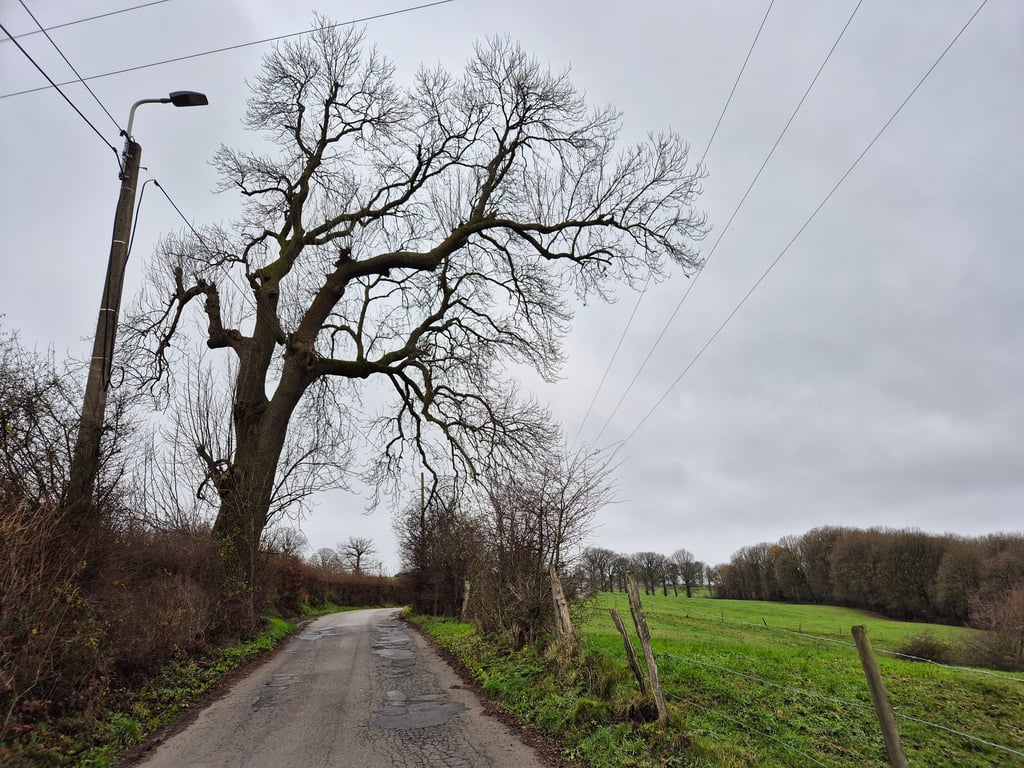
The toughest climb from Verviers to the south and it shows because the first part is quite tough - and takes quite a long time too. Fortunately, the worst parts of the asphalt have been replaced by good road surface, so only the last - much flatter - part still has some bad spots (even when turning right, you have to be careful) and the very first few metres consisting of cobblestones are quite bumpy. After the tough start there is a scenic stretch that is really enjoyable and where the road meanders nicely.
De zwaarste klim vanuit Verviers naar het zuiden en dat is te merken ook want het eerste deel is flink pittig - en duurt dan nog best lang ook. De slechtste stukken asfalt zijn gelukkig vervangen door prima wegdek zodat er alleen in het laatste - veel vlakkere - stuk nog wat slechte plekken zitten (ook bij het rechtsaf slaan is het even opletten) en de allereerste meters die uit kasseien bestaan hobbelen uiteraard ook behoorlijk. Na het zware begindeel volgt een landschappelijk mooi stuk wat echt genieten is en waarbij de weg leuk slingert.
Done first half (couldn't continue due to roadworks on second section) and somewhat disappointed. Dramatic road surface, ugly surroundings.
Eerste helft gedaan (kon niet verder wegens wegwerkzaamheden op tweede deel) en ietwat teleurgesteld. Dramatisch wegdek, lelijke omgeving.
The Chemin du Haras is one of those wonderful Ardennes climbs: irregular, narrow roads and cows and other animals everywhere along the road. The climb is quite steep in places and very irregular. The road surface is good in some places, bad in others. If you are in the area: do it!
De Chemin du Haras is zo’n heerlijke Ardennenklim: onregelmatig, smalle weggetjes en overal koeien en andere dieren langs de weg. De klim is op plekken vrij steil en lekker onregelmatig. Het wegdek is op sommige plekken goed, op andere plekken beroerd. Als je in de buurt bent: doen!
| 7 km/h | 00:31:05 |
| 11 km/h | 00:19:47 |
| 15 km/h | 00:14:30 |
| 19 km/h | 00:11:27 |
This page is better in the app