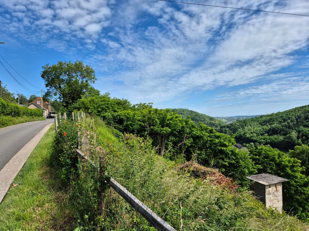
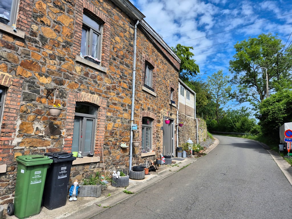
Chemin du Comte is a climb in the region Valleys of the Meuse, Sambre and Orneau. It is 2.8 km long and bridges 147 m of vertical ascent with an average gradient of 5.3%, resulting in a difficulty score of 78. The top of the ascent is located at 239 m above sea level. Climbfinder users shared 5 reviews of this climb and uploaded 8 photos.
This is an automatic translation, the original language is: Dutch.
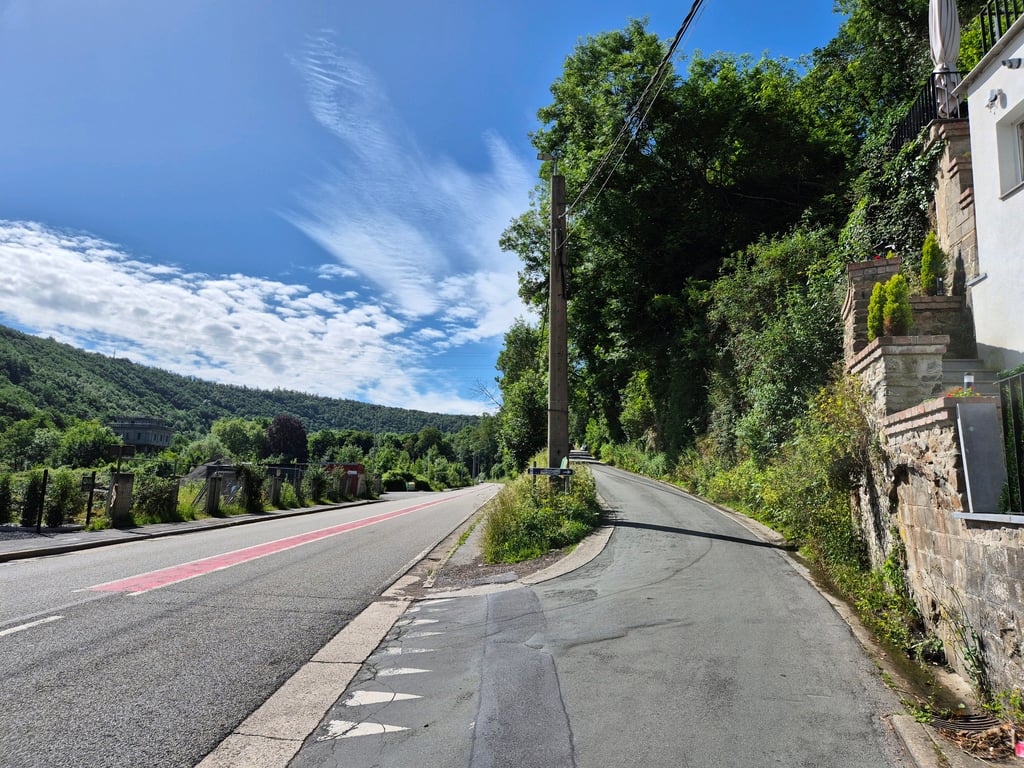
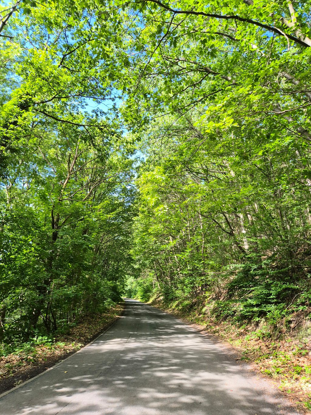
In my opinion, the most beautiful running climb of the various options to climb Thier de Huy. From the main road, this climb runs very pleasantly gradual uphill with a number of turns. Make no mistake: due to the length of the climb, you are really going to feel your legs so this climb too is really quite a tough challenge. I enjoyed it!!!...read more
Photos (8)
Welcome! Please activate your account if you would like to share something. Look for the verification email in your inbox.
This is an automatic translation, the original language is: Dutch.
Show original
In my opinion, the most beautiful running climb of the various options to climb Thier de Huy. From the main road, this climb runs very pleasantly gradual uphill with a number of turns. Make no mistake: due to the length of the climb, you are really going to feel your legs so this climb too is really quite a tough challenge. I enjoyed it!!!
Naar mijn mening de mooiste lopende klim van de verschillende opties om Thier de Huy te beklimmen. Vanaf de grote weg loopt deze klim heel prettig geleidelijk naar boven met een aantal bochten. Vergis je niet: door de lengte van de klim gaat je je benen echt wel voelen dus ook deze klim is echt wel een stevige uitdaging. Ik heb ervan genoten!!!
This is an automatic translation, the original language is: French.
Show original
A long climb whose main characteristic is that it is extremely regular. Like many of the climbs in the region, it forms part of the "cotacol"
Longue ascension, dont la principale caractéristique est d'être extrêmement régulière. Elle fait partie, comme beaucoup de côtes de la région, du recueil "cotacol"
This is an automatic translation, the original language is: French.
Show original
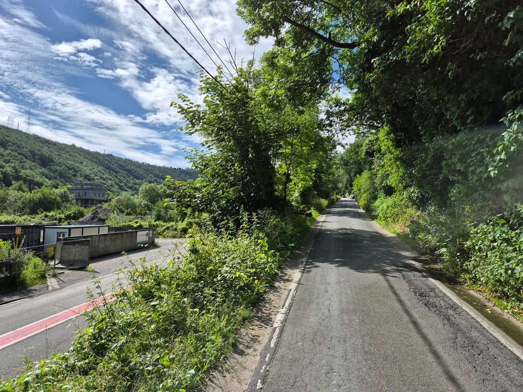
Nice quiet climb without too much, only one passage where the road is not good otherwise on the whole climb it's pleasant, if you want to see the video https://youtu.be/tfWFWGJOock
Belle montée au calme sans trop de , seul un passage ou la route n'est pas bonne sinon sur l'ensemble de la montée c'est agréable , si vous voulez voir la vidéo https://youtu.be/tfWFWGJOock
This is an automatic translation, the original language is: Dutch.
Show original
A pleasant climb in terms of pace. The summit is also that of the Thier de Huy. Throughout the climb on the right side some nice views on the valley. Pity of the bad road surface.
Aangename beklimming qua tempo. Top is ook die van de Thier de Huy. Doorheen de klim langs de rechterkant wel wat mooie uitzichten op de vallei. Jammer van het slechte wegdek.
Share your knowledge. What was the road condition during your ascent?
Traffic
100% 0% 0%
Based on 5 votes
Your experience counts. How much traffic did you encounter during the climb?
Frequently Asked Questions
You don't need special gearing for Chemin du Comte. The slope isn't long or steep enough to require much shifting down. You can conquer this climb on power alone. However, a compact gearing system with a smallest front chainring of 34 and largest rear sprocket of 28 or 30 is always nice if you enjoy cycling uphill. This helps maintain a smooth cadence.
Chemin du Comte is a 4th-category climb. A sprint to the top is usually not an option, and untrained riders will definitely feel it in their legs. For trained cyclists, it is a great training climb.
Chemin du Comte is 2.8 km long.
The average gradient of Chemin du Comte is 5.3%.
Chemin du Comte has a steepest segment with an average gradient of 7%.
The summit of Chemin du Comte is at 239 m.
At a slow pace of 7 km/h, it takes about 00:23:51 to climb Chemin du Comte. At 11 km/h the time is 00:15:11, and at 15 km/h 00:11:08. For the fastest cyclists, 00:08:47 is an achievable time.