View on map
© MapLibre | OpenStreetMap contributors
1%
2%
4%
6%
8%
10%
12%
15%
20%

Chemin des Usillons

3.5
2 reviews | Elevation profile | 10 photos
Tips nearby
Chemin des Usillons
Chemin des Usillons
Chemin des Usillons
Chemin des Usillons
Chemin des Usillons
Chemin des Usillons
Chemin des Usillons
Chemin des Usillons
Your achievable time
Calculating based on your best performances...
Relaxed
Maximum
W/kg
W/kg
W/kg
Analyse your climbing performance
Detailed insight into your climbing performance & automatically check off climbs
Based on your best performances.
Your best attempt:
Number of attempts:
Elevation profile Chemin des Usillons

Statistics

Difficulty points 53
Length 1 km
Average gradient 6.8%
Steepest 100 metres 10.2%
Total ascent 68 m
Feedback about this climb?
Show climbs nearby Export to GPS device

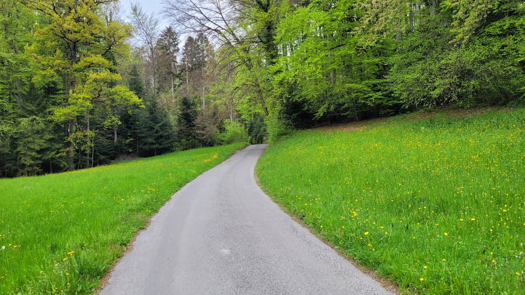
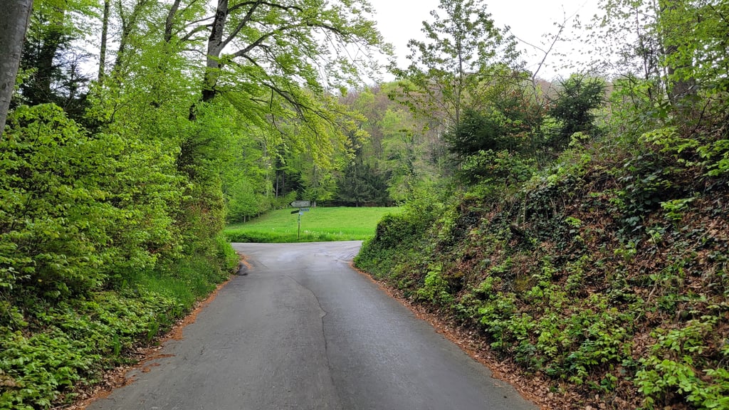
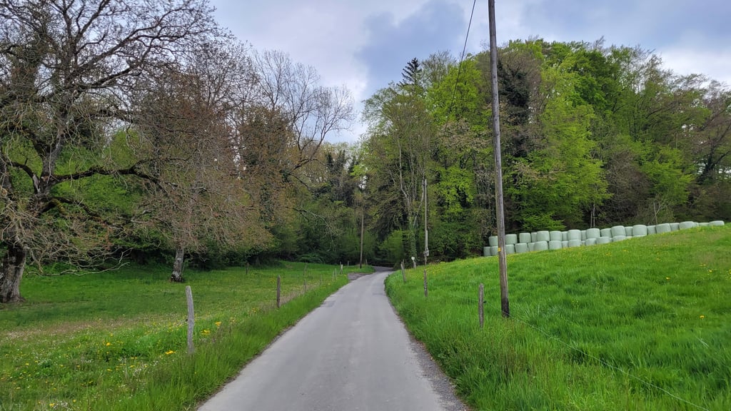
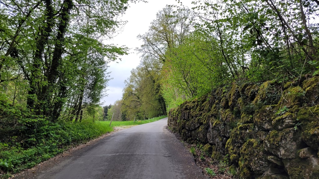
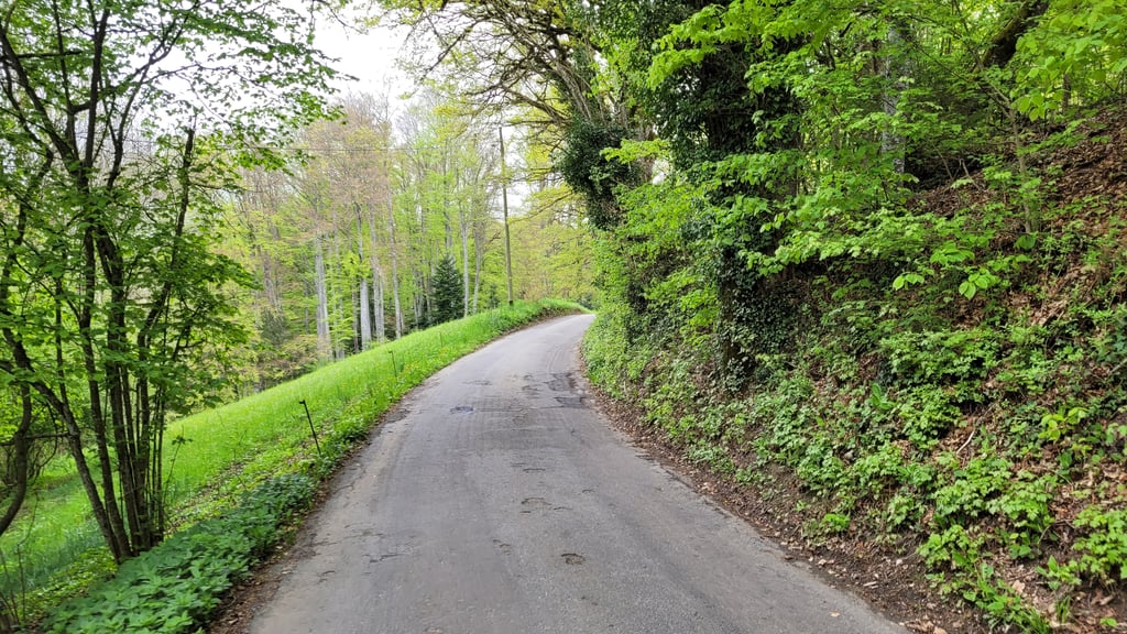
Chemin des Usillons is a climb in the region Vaud. It is 1 km long and bridges 68 m of vertical ascent with an average gradient of 6.8%, resulting in a difficulty score of 53. The top of the ascent is located at 746 m above sea level. Climbfinder users shared 2 reviews of this climb and uploaded 10 photos.

Road name: Chemin des Usillons
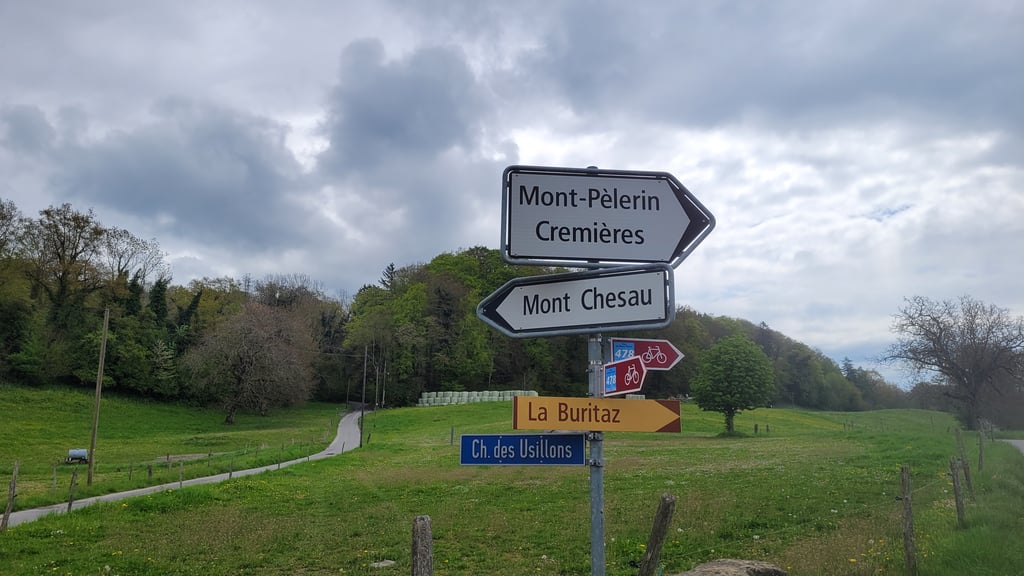
3.0 by elbowboy
This is an automatic translation, the original language is: French.
Lovely little alley through a small wood. Not too steep. Quite a few potholes. Virtually no traffic. No spectacular views but ideal for accessing Mont Chesau.... read more

Photos (10)

Chemin des Usillons
Chemin des Usillons
Chemin des Usillons
Chemin des Usillons
Chemin des Usillons
Chemin des Usillons
Chemin des Usillons
Chemin des Usillons
Chemin des Usillons
Chemin des Usillons
transparant thumb
transparant thumb

Your uploads (max 4)

Welcome! Please activate your account if you would like to share something. Look for the verification email in your inbox.

If you want to upload your photos, you need to create an account. It only takes 1 minute and it's completely free.

  • Receive free climbfinder goodies for your reviews & photos.
  • Create a bucket list and check off conquered climbs.
  • Add missing climbs.
Continue with GoogleContinue with Google Continue with FacebookContinue with Facebook Continue with AppleContinue with Apple Sign up with email
By signing up you agree to our terms of service and confirm that you have read our privacy & content policy.

Reviews (2)

5.0
4.0
3.0
2.0
1.0
elbowboy
1 y 3.0 via the Climbfinder app
This is an automatic translation, the original language is: French. Show original

Lovely little alley through a small wood. Not too steep. Quite a few potholes. Virtually no traffic. No spectacular views but ideal for accessing Mont Chesau.

Belle petite ruelle traversant un petit bois. Pas trop raide. Pas mal de nids de poule. Pratiquement pas de trafic. Pas de vue spectaculaire mais idéale pour accéder au mont Chesau.

Dashboard
ZachW
1 y 4.0

Excellent little stretch of road through the forest. Lovely tarmac and very scenic, also connects nicely with other climbs in the region. Look out any passing horses!

Chemin des Usillons
Chemin des Usillons
Chemin des Usillons
Dashboard

Climbing times

7 km/h 00:08:36
11 km/h 00:05:28
15 km/h 00:04:01
19 km/h 00:03:10

Road surface condition

0% 0% 0%
Based on 0 votes
Share your knowledge. What was the road condition during your ascent?

Traffic

0% 0% 0%
Based on 0 votes
Your experience counts. How much traffic did you encounter during the climb?

Frequently Asked Questions

You don't need special gearing for Chemin des Usillons. The slope isn't long or steep enough to require much shifting down. You can conquer this climb on power alone. However, a compact gearing system with a smallest front chainring of 34 and largest rear sprocket of 28 or 30 is always nice if you enjoy cycling uphill. This helps maintain a smooth cadence.

Chemin des Usillons falls into the 5th category. With good fitness, you can ride it up with speed and power. If you have less training, shift down and climb smoothly.

Chemin des Usillons is 1 km long.

The average gradient of Chemin des Usillons is 6.8%.

Chemin des Usillons has a steepest segment with an average gradient of 10.2%.

The summit of Chemin des Usillons is at 746 m.

At a slow pace of 7 km/h, it takes about 00:08:36 to climb Chemin des Usillons. At 11 km/h the time is 00:05:28, and at 15 km/h 00:04:01. For the fastest cyclists, 00:03:10 is an achievable time.

Chemin des Usillons is located in the region Vaud in Switzerland.

This page is better in the app

Climbfinder app
Climbfinder
(Free)
Open