Chemin des Étangs is a climb in the region Valleys of the Meuse, Sambre and Orneau. It is 1.3 km long and bridges 101 m of vertical ascent with an average gradient of 7.6%, resulting in a difficulty score of 82. The top of the ascent is located at 182 m above sea level. Climbfinder users shared 1 review/story of this climb and uploaded 1 photo.
This is an automatic translation, the original language is: Dutch.
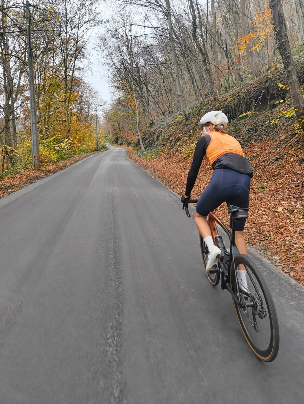
A short climb along Chemin des Étangs where the road from the valley shoots up steeply immediately in the first stretch. At the hairpin bend, it becomes slightly less steep and the road continues towards the quiet area around the ponds....read more
Photos (1)
Welcome! Please activate your account if you would like to share something. Look for the verification email in your inbox.
This is an automatic translation, the original language is: Dutch.
Show original
A short climb along Chemin des Étangs where the road from the valley shoots up steeply immediately in the first stretch. At the hairpin bend, it becomes slightly less steep and the road continues towards the quiet area around the ponds.
Een korte klim langs Chemin des Étangs waar de weg vanuit de vallei meteen stevig omhoog schiet in het eerste stuk. In de haarspeldbocht wordt het iets minder steil en loopt de weg verder uit richting de rustige omgeving rond de vijvers.
Share your knowledge. What was the road condition during your ascent?
Traffic
100% 0% 0%
Based on 1 vote
Your experience counts. How much traffic did you encounter during the climb?
Frequently Asked Questions
You don't need special gearing for Chemin des Étangs. The slope isn't long or steep enough to require much shifting down. You can conquer this climb on power alone. However, a compact gearing system with a smallest front chainring of 34 and largest rear sprocket of 28 or 30 is always nice if you enjoy cycling uphill. This helps maintain a smooth cadence.
Chemin des Étangs is a 4th-category climb. A sprint to the top is usually not an option, and untrained riders will definitely feel it in their legs. For trained cyclists, it is a great training climb.
Chemin des Étangs is 1.3 km long.
The average gradient of Chemin des Étangs is 7.6%.
Chemin des Étangs has a steepest segment with an average gradient of 11.8%.
The summit of Chemin des Étangs is at 182 m.
At a slow pace of 7 km/h, it takes about 00:11:20 to climb Chemin des Étangs. At 11 km/h the time is 00:07:12, and at 15 km/h 00:05:17. For the fastest cyclists, 00:04:10 is an achievable time.