View on map
© MapLibre | OpenStreetMap contributors
1%
2%
4%
6%
8%
10%
12%
15%
20%

Brockenberg via Bauschenberg

3.0
1 review/story | Elevation profile | 4 photos
Tips nearby
Brockenberg via Bauschenberg
transparant thumb
transparant thumb
transparant thumb
transparant thumb
Your achievable time
Calculating based on your best performances...
Relaxed
Maximum
W/kg
W/kg
W/kg
Analyse your climbing performance
Detailed insight into your climbing performance & automatically check off climbs
Based on your best performances.
Your best attempt:
Number of attempts:
Elevation profile Brockenberg via Bauschenberg

Statistics

Difficulty points 16
Length 1 km
Average gradient 3.2%
Steepest 100 metres 8.3%
Total ascent 33 m
Feedback about this climb?
Show climbs nearby Export to GPS device

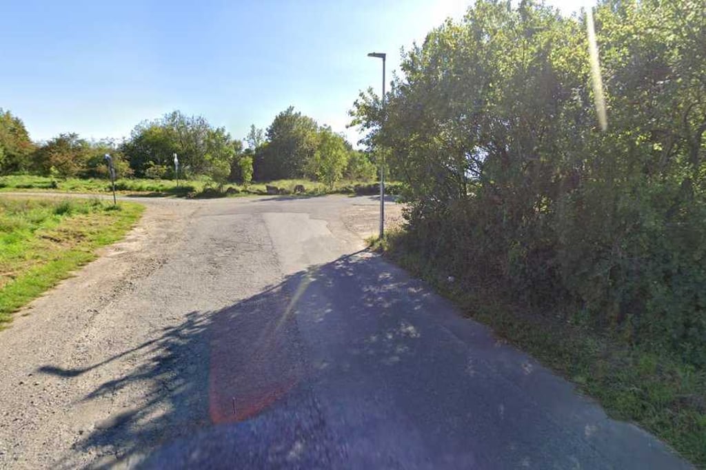
Brockenberg via Bauschenberg is a climb in the region Cologne. It is 1 km long and bridges 33 m of vertical ascent with an average gradient of 3.2%, resulting in a difficulty score of 16. The top of the ascent is located at 275 m above sea level. Climbfinder users shared 1 review/story of this climb and uploaded 4 photos.

Road names: Bauschenberg, Brockenberg & Am Dolomitbruch
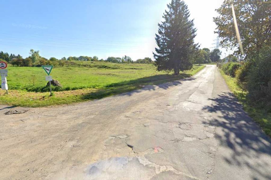
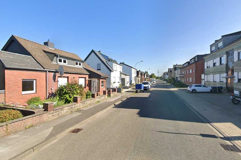
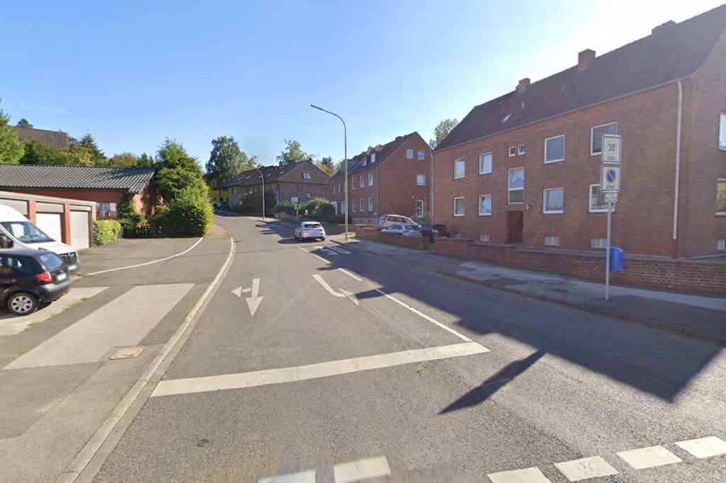
3.0 by BikerJohan
This is an automatic translation, the original language is: Dutch.
Climb of over 3 kilometres in the southern part of Stolberg. You ride partly on the edge of built-up areas and partly in open fields. The first few hundred metres are quite steep. This is followed by a long false flat section. Only towards the top does it then start to rise a bit again.... read more

Photos (4)

Brockenberg via Bauschenberg
transparant thumb
transparant thumb

Your uploads (max 4)

Welcome! Please activate your account if you would like to share something. Look for the verification email in your inbox.

If you want to upload your photos, you need to create an account. It only takes 1 minute and it's completely free.

  • Receive free climbfinder goodies for your reviews & photos.
  • Create a bucket list and check off conquered climbs.
  • Add missing climbs.
Continue with GoogleContinue with Google Continue with FacebookContinue with Facebook Continue with AppleContinue with Apple Sign up with email
By signing up you agree to our terms of service and confirm that you have read our privacy & content policy.

Reviews (1)

5.0
4.0
3.0
2.0
1.0
BikerJohan
11 Mo 3.0
This is an automatic translation, the original language is: Dutch. Show original

Climb of over 3 kilometres in the southern part of Stolberg. You ride partly on the edge of built-up areas and partly in open fields. The first few hundred metres are quite steep. This is followed by a long false flat section. Only towards the top does it then start to rise a bit again.

Klim van ruim 3 kilometer in het zuidelijke deel van Stolberg. Je rijdt deels aan de rand van de bebouwing en deel in vrije veld. De eerste paar honderd meter loopt het flink op. Daarna volgt een lang vals plat stuk. Pas tegen de top gaat het dan weer wat stijgen.

Dashboard

Climbing times

7 km/h 00:08:44
11 km/h 00:05:33
15 km/h 00:04:04
19 km/h 00:03:13

Road surface condition

0% 0% 0%
Based on 0 votes
Share your knowledge. What was the road condition during your ascent?

Traffic

0% 0% 0%
Based on 0 votes
Your experience counts. How much traffic did you encounter during the climb?

Frequently Asked Questions

Brockenberg can be cycled from 6 sides. Hostetstrasse from Büsbach is the most popular side, but the summit can also be reached via Brockenberg via Rüst, Büsbach via Finkensiefstrasse, Hostetstrasse from Schützheide, Hassenberg from Schützheide & Brockenberg via Bauschenberg.

You don't need special gearing for Brockenberg via Bauschenberg. The slope isn't long or steep enough to require much shifting down. You can conquer this climb on power alone. However, a compact gearing system with a smallest front chainring of 34 and largest rear sprocket of 28 or 30 is always nice if you enjoy cycling uphill. This helps maintain a smooth cadence.

Brockenberg via Bauschenberg is not tough enough to be assigned a mountain category. This means that even untrained cyclists can reach the top without any problems on this climb.

Brockenberg via Bauschenberg is 1 km long.

The average gradient of Brockenberg via Bauschenberg is 3.2%.

Brockenberg via Bauschenberg has a steepest segment with an average gradient of 8.3%.

The summit of Brockenberg via Bauschenberg is at 275 m.

At a slow pace of 7 km/h, it takes about 00:08:44 to climb Brockenberg via Bauschenberg. At 11 km/h the time is 00:05:33, and at 15 km/h 00:04:04. For the fastest cyclists, 00:03:13 is an achievable time.

Brockenberg via Bauschenberg is located in the region Cologne in Germany.

This page is better in the app

Climbfinder app
Climbfinder
(Free)
Open