View on map
© MapLibre | OpenStreetMap contributors
1%
2%
4%
6%
8%
10%
12%
15%
20%

Bremenberg via Horbach

2.5
2 reviews | Elevation profile | 4 photos
Tips nearby
Bremenberg via Horbach
transparant thumb
transparant thumb
transparant thumb
transparant thumb
Your achievable time
Calculating based on your best performances...
Relaxed
Maximum
W/kg
W/kg
W/kg
Analyse your climbing performance
Detailed insight into your climbing performance & automatically check off climbs
Based on your best performances.
Your best attempt:
Number of attempts:
Elevation profile Bremenberg via Horbach

Statistics

Difficulty points 5
Length 1.2 km
Average gradient 2%
Steepest 100 metres 3.7%
Total ascent 24 m
Feedback about this climb?
Show climbs nearby Export to GPS device

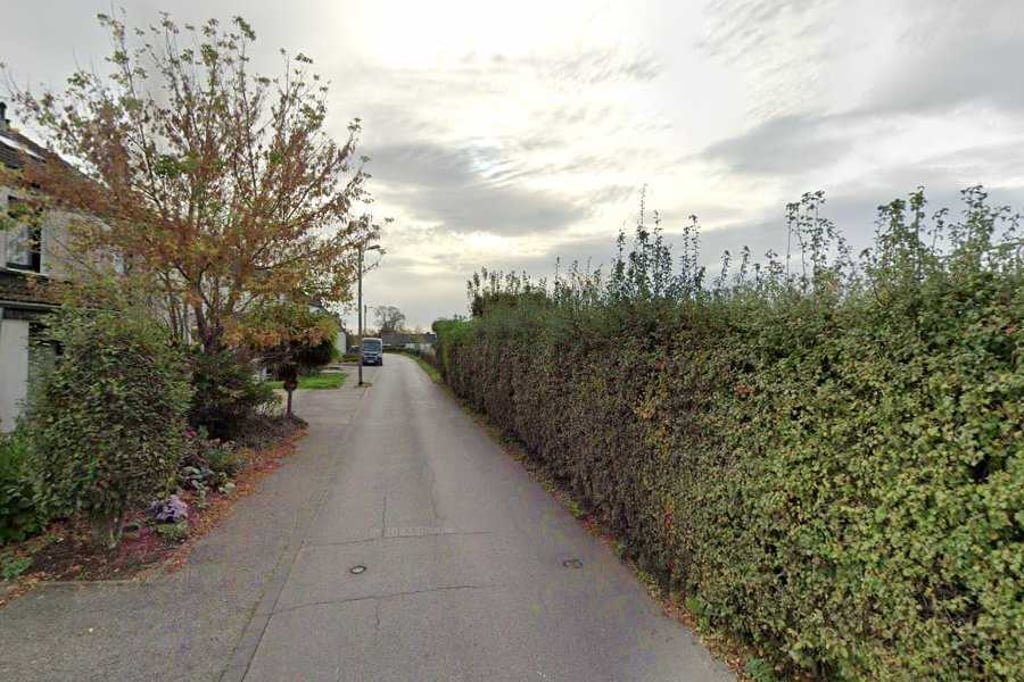
Bremenberg via Horbach is a climb in the region Cologne. It is 1.2 km long and bridges 24 m of vertical ascent with an average gradient of 2%, resulting in a difficulty score of 5. The top of the ascent is located at 162 m above sea level. Climbfinder users shared 2 reviews of this climb and uploaded 4 photos.

Road names: Scherbstraße & Bremenberg
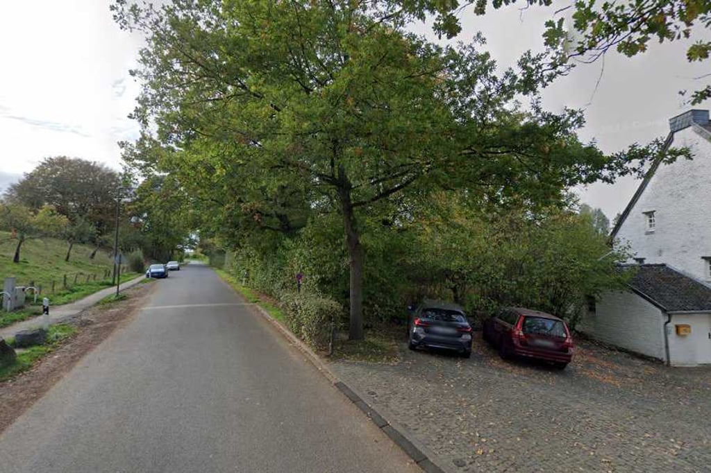
2.0 by Fedor
This is an automatic translation, the original language is: Dutch.
From Kohlscheid, you sail down hard, making the first part of the climb as if by itself. After that, you do feel it rising but it's more false flat than a real climb. The section is a handy turn-off to head towards Richterich.... read more

Photos (4)

Bremenberg via Horbach
transparant thumb
transparant thumb

Your uploads (max 4)

Welcome! Please activate your account if you would like to share something. Look for the verification email in your inbox.

If you want to upload your photos, you need to create an account. It only takes 1 minute and it's completely free.

  • Receive free climbfinder goodies for your reviews & photos.
  • Create a bucket list and check off conquered climbs.
  • Add missing climbs.
Continue with GoogleContinue with Google Continue with FacebookContinue with Facebook Continue with AppleContinue with Apple Sign up with email
By signing up you agree to our terms of service and confirm that you have read our privacy & content policy.

Reviews (2)

5.0
4.0
3.0
2.0
1.0
Fedor
1 y 2.0
This is an automatic translation, the original language is: Dutch. Show original

From Kohlscheid, you sail down hard, making the first part of the climb as if by itself. After that, you do feel it rising but it's more false flat than a real climb. The section is a handy turn-off to head towards Richterich.

Vanuit Kohlscheid zeil je hard naar beneden waardoor je het eerste deel van de klim als vanzelf meepakt. Daarna voel je het wel stijgen maar het is meer vals plat dan een echte klim. Het traject is een handige afsteker om richting Richterich te gaan.

Dashboard
BikerJohan
1 y 3.0
This is an automatic translation, the original language is: Dutch. Show original

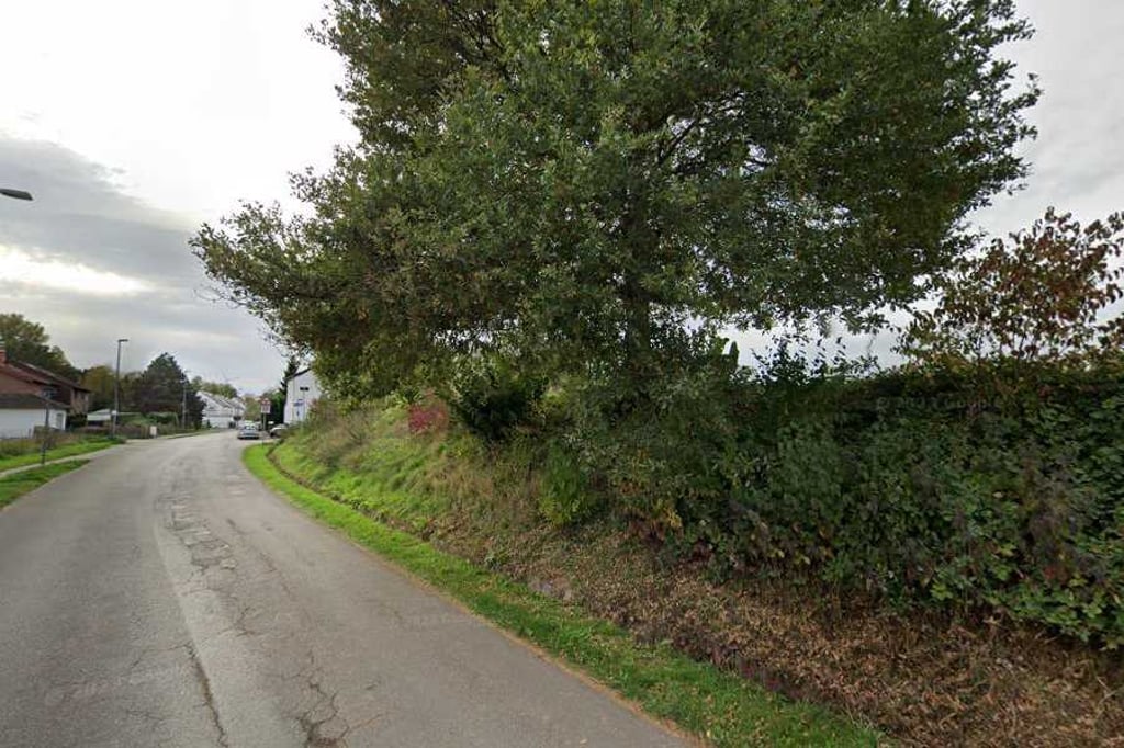
Coming from Kohlscheid, you descend via the Mühlenbachweg to Horbach. From the point where the Amstelbach flows under the road, the climb begins. After entering Horbach via Scherbstrasse, turn left at the second junction onto Bremenberg. At the junction with Horbacher Strasse you are at the top. It's a nice false flat runner.

Komende vanaf Kohlscheid daal je via de Mühlenbachweg af naar Horbach. Vanaf het punt waar de Amstelbach onder de weg doorstroomt begint de klim. Na het binnenrijden van Horbach via de Scherbstrasse ga je op de tweede splitsing linksaf de Bremenberg op. Op de splitsing met de Horbacher Strasse ben je op de top. Het is een lekkere vals plat loper.

Dashboard

Climbing times

7 km/h 00:10:28
11 km/h 00:06:40
15 km/h 00:04:53
19 km/h 00:03:51

Road surface condition

0% 0% 0%
Based on 0 votes
Share your knowledge. What was the road condition during your ascent?

Traffic

0% 0% 0%
Based on 0 votes
Your experience counts. How much traffic did you encounter during the climb?

Frequently Asked Questions

Bremenberg can be cycled from 2 sides. Bremenberg via Heyder Feldweg is the most popular side, but the summit can also be reached via Bremenberg via Horbach.

You don't need special gearing for Bremenberg via Horbach. The slope isn't long or steep enough to require much shifting down. You can conquer this climb on power alone. However, a compact gearing system with a smallest front chainring of 34 and largest rear sprocket of 28 or 30 is always nice if you enjoy cycling uphill. This helps maintain a smooth cadence.

Bremenberg via Horbach is not tough enough to be assigned a mountain category. This means that even untrained cyclists can reach the top without any problems on this climb.

Bremenberg via Horbach is 1.2 km long.

The average gradient of Bremenberg via Horbach is 2%.

Bremenberg via Horbach has a steepest segment with an average gradient of 3.7%.

The summit of Bremenberg via Horbach is at 162 m.

At a slow pace of 7 km/h, it takes about 00:10:28 to climb Bremenberg via Horbach. At 11 km/h the time is 00:06:40, and at 15 km/h 00:04:53. For the fastest cyclists, 00:03:51 is an achievable time.

Bremenberg via Horbach is located in the region Cologne in Germany.

This page is better in the app

Climbfinder app
Climbfinder
(Free)
Open