Betnay from Harzé is a climb in the region Valleys of the Vesdre, de l'Amblève et de l'Ourthe. It is 1.2 km long and bridges 79 m of vertical ascent with an average gradient of 6.6%, resulting in a difficulty score of 57. The top of the ascent is located at 306 m above sea level. Climbfinder users shared 1 review/story of this climb and uploaded 1 photo.
Road names: Rue de Xhoris & Rue de l'Hermitrie
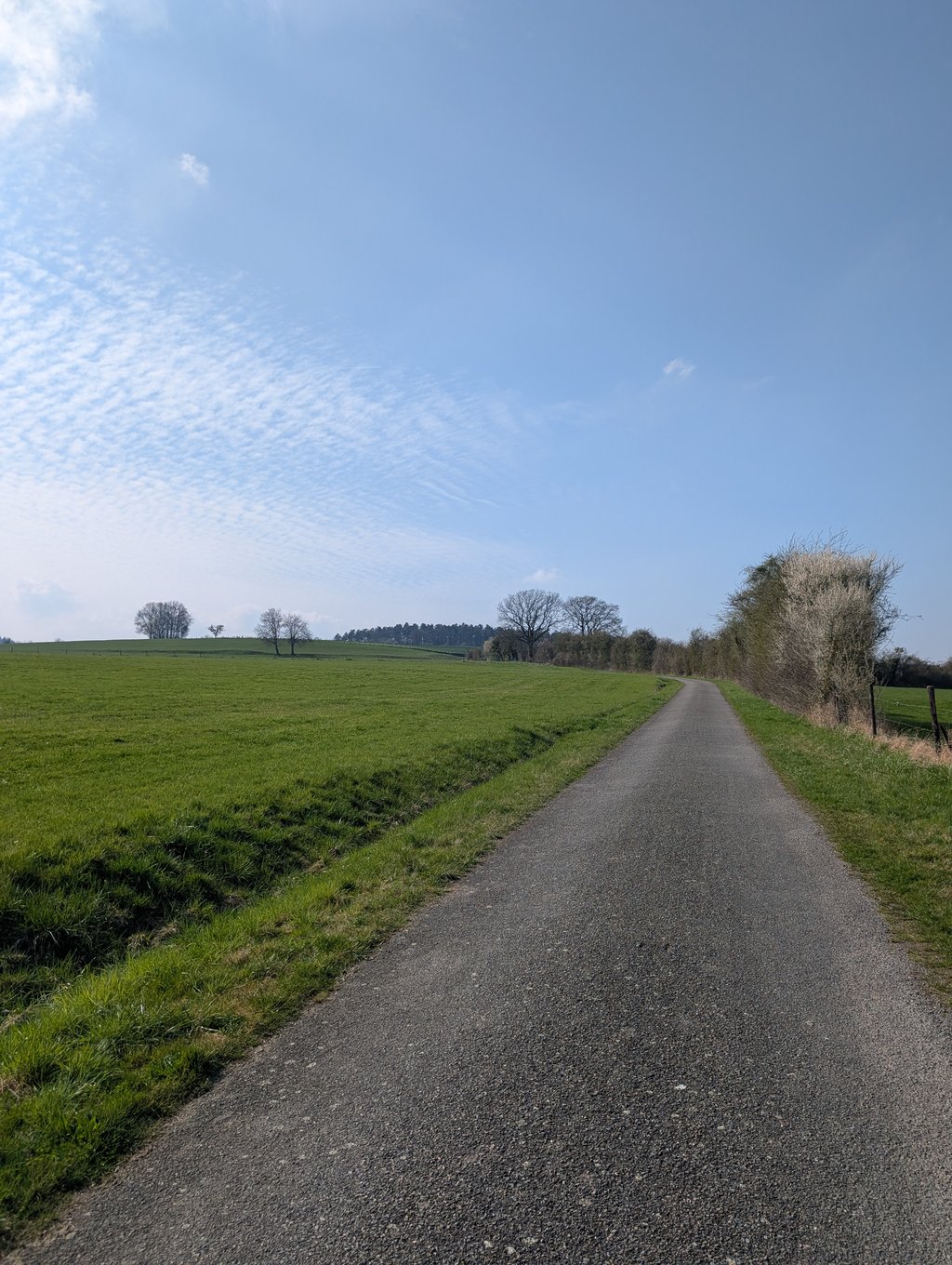
5.0 by JurneSleddensThis is an automatic translation, the original language is: Dutch.Hidden gem! Lovely and quiet, beautiful surroundings and a nice climb in terms of percentages. The road surface is good and you ride through a nice meadow with some curves. The descent is okay, but definitely an unknown recommendation.... read more
Welcome! Please activate your account if you would like to share something. Look for the verification email in your inbox.
If you want to upload your photos, you need to create an account. It only takes 1 minute and it's completely free.
Hidden gem! Lovely and quiet, beautiful surroundings and a nice climb in terms of percentages. The road surface is good and you ride through a nice meadow with some curves. The descent is okay, but definitely an unknown recommendation.
Verborgen parel! Heerlijk rustig, mooie omgeving en een leuke klim qua percentages. Het wegdek is goed en je rijdt door een mooie weide met wat bochtjes. De afdaling is oke, maar zeker een onbekende aanrader.
| 7 km/h | 00:10:10 |
| 11 km/h | 00:06:28 |
| 15 km/h | 00:04:44 |
| 19 km/h | 00:03:44 |
This page is better in the app