Bedulita is a climb in the region Bergamo. It is 10.3 km long and bridges 632 m of vertical ascent with an average gradient of 6.1%, resulting in a difficulty score of 403. The top of the ascent is located at 994 m above sea level. Climbfinder users shared 5 reviews of this climb and uploaded 11 photos.
This is an automatic translation, the original language is: Italian.
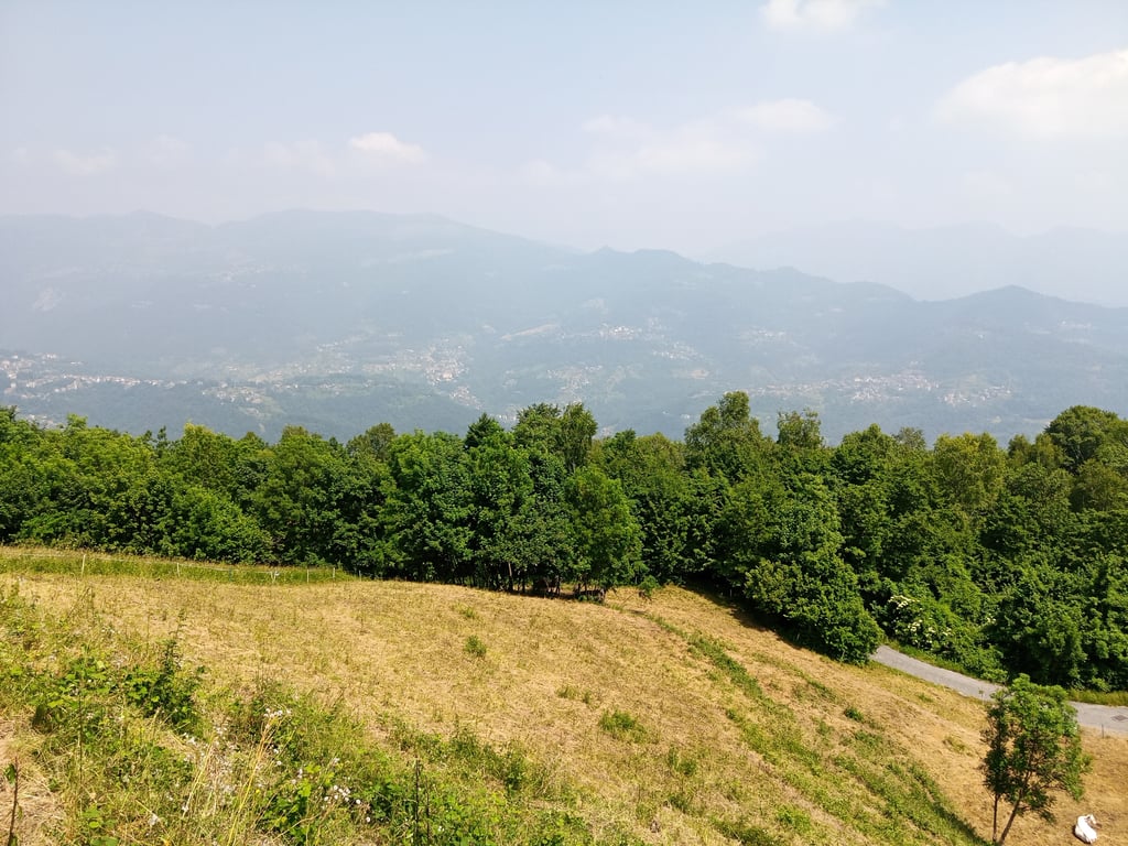
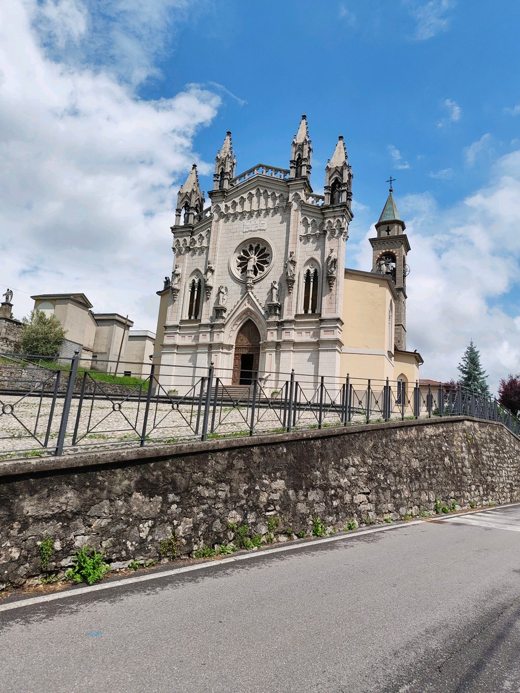
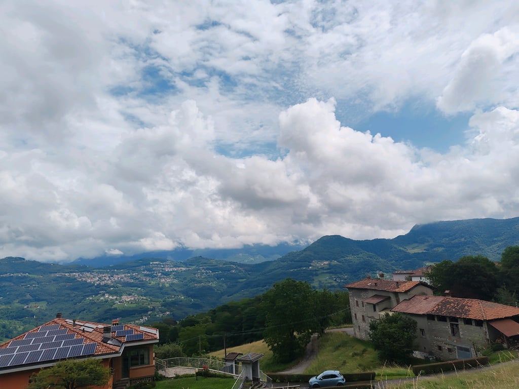
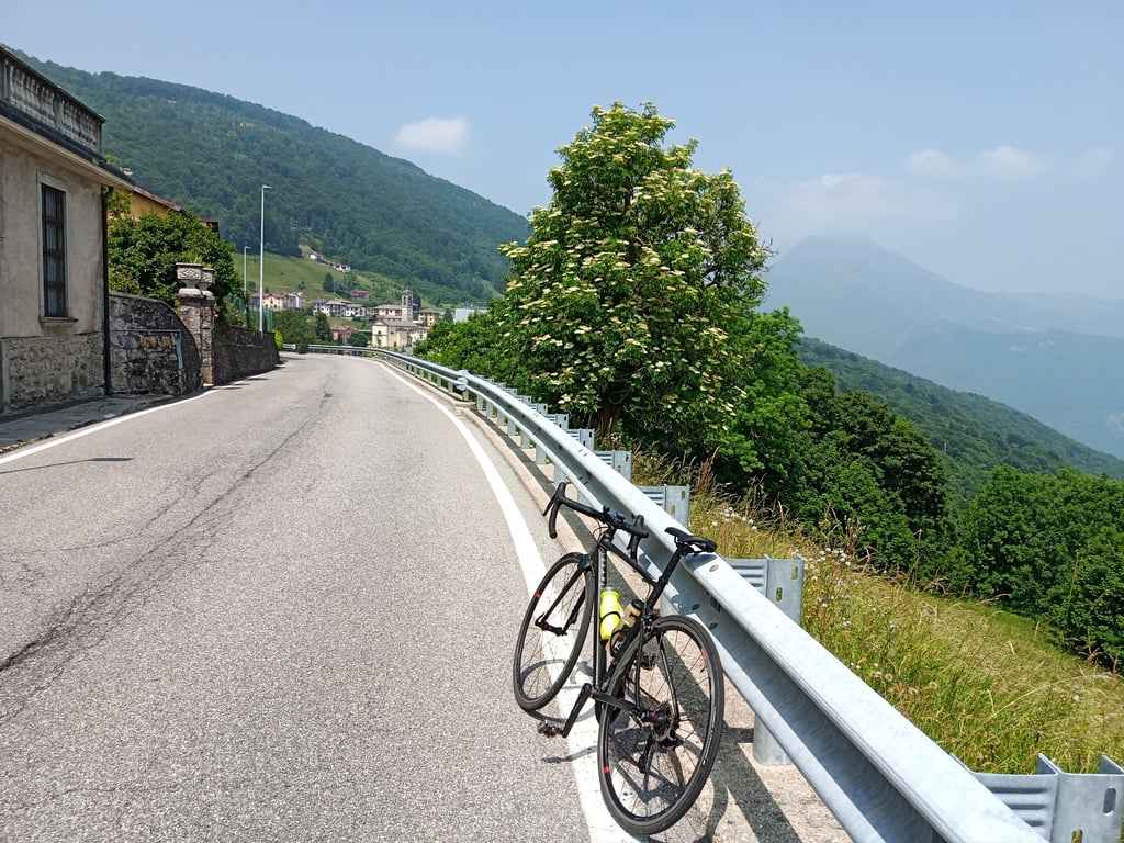
This is a very smooth climb, good for training exercises. Very limited traffic, more bikes than cars. One of the climbs that dot the small Imagna valley makes it easy to do a loop tour coming down from Roncola, from Valsecca or to continue from Costa Imagna to the Valcava pass to descend into the Lecco area...read more
Photos (11)
Welcome! Please activate your account if you would like to share something. Look for the verification email in your inbox.
This is an automatic translation, the original language is: Italian.
Show original
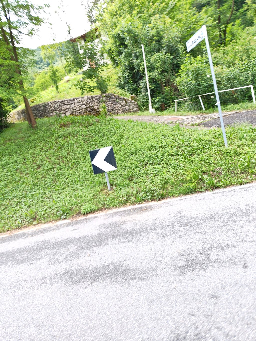
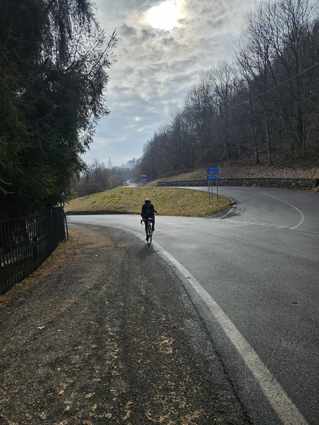
The regular climb par excellence, however, does not mean it is easy. It is 10km of steady climbing, the climb ends near a road junction and so if you want to refuel or refresh yourself you will either have to continue on to Roncola or climb to Valcava. Still, it is a perfect climb for training.
La salita regolare per eccellenza, non vuol dire però che sia semplice. Sono 10km di salita costanti, la salita termina in prossimità di un bivio stradale e quindi, se volete rifornirvi o rifocillarvi dovrete proseguire per Roncola oppure salire in Valcava. E comunque una salita perfetta per l’allenamento.
This is an automatic translation, the original language is: Italian.
Show original
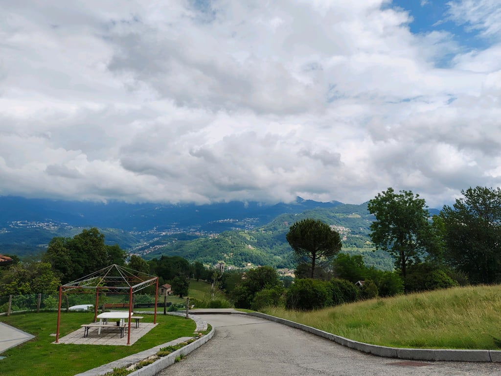
Regular, pleasant climb, never sustained, but not easy either. It should be set at a good pace and can be linked to the final section of the Valcava climb. Shady in places and with little traffic.
Salita regolare, piacevole, mai sostenuta, ma nemmeno facile. Va impostata con un buon ritmo e si può collegare al tratto finale della salita di Valcava. Ombreggiata a tratti e con poco traffico.
This is an automatic translation, the original language is: Italian.
Show original
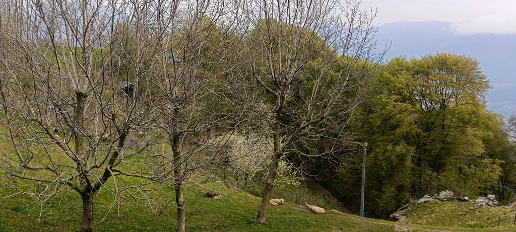
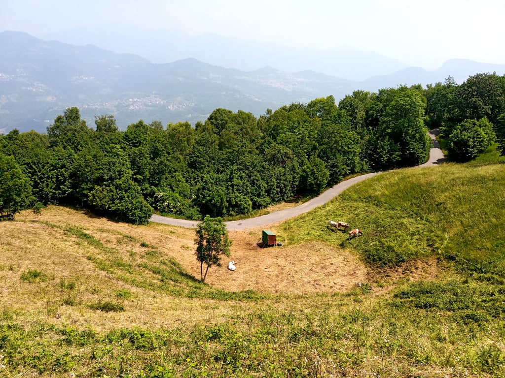
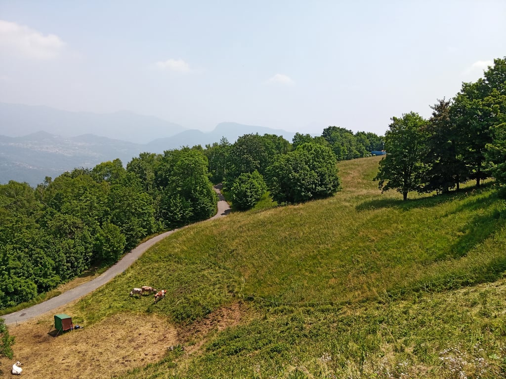
Fairly even, but challenging climb. Very little traffic on the ascent, road in good condition, with several hairpin bends. Presence of cattle on the sides of the road, but at a safe distance. The road is shady in several sections.
Salita abbastanza regolare, ma impegnativa. Pochissimo traffico lungo la salita, strada in buone condizioni, con diversi tornanti. Presenza di bovini ai lati della strada, ma a debita distanza. La strada è ombreggiata in diversi tratti.
This is an automatic translation, the original language is: Italian.
Show original
This is a very smooth climb, good for training exercises. Very limited traffic, more bikes than cars. One of the climbs that dot the small Imagna valley makes it easy to do a loop tour coming down from Roncola, from Valsecca or to continue from Costa Imagna to the Valcava pass to descend into the Lecco area
Questa salita molto regolare, ottima per fare esercizi di allenamento. Traffico veramente limitato, più bici che auto. Una delle salite che costellano la piccola valle Imagna permette facilmente di percorrere giro ad anello scendendo dalla Roncola, da Valsecca oppure di proseguire da Costa Imagna fino al passo di Valcava per scendere nel lecchese
Share your knowledge. What was the road condition during your ascent?
Traffic
100% 0% 0%
Based on 10 votes
Your experience counts. How much traffic did you encounter during the climb?
Frequently Asked Questions
You don't need special gearing for Bedulita. The slope isn't long or steep enough to require much shifting down. You can conquer this climb on power alone. However, a compact gearing system with a smallest front chainring of 34 and largest rear sprocket of 28 or 30 is always nice if you enjoy cycling uphill. This helps maintain a smooth cadence.
Bedulita is a serious climb and falls into the 2nd category. With a good basic fitness level, even without much cycling experience, you can complete this climb just fine. However, a bike with climbing gears is a must. Without experience or training, it will be really tough – but that’s part of the challenge!
Bedulita is 10.3 km long.
The average gradient of Bedulita is 6.1%.
Bedulita has a steepest segment with an average gradient of 8.7%.
The summit of Bedulita is at 994 m.
At a slow pace of 7 km/h, it takes about 01:28:32 to climb Bedulita. At 11 km/h the time is 00:56:20, and at 15 km/h 00:41:18. For the fastest cyclists, 00:32:37 is an achievable time.
Bedulita is located in the region Bergamo in Italy.