Banneux is a climb in the region Valleys of the Vesdre, de l'Amblève et de l'Ourthe. It is 1.4 km long and bridges 60 m of vertical ascent with an average gradient of 4.4%, resulting in a difficulty score of 29. The top of the ascent is located at 306 m above sea level. Climbfinder users shared 2 reviews of this climb and uploaded 6 photos.
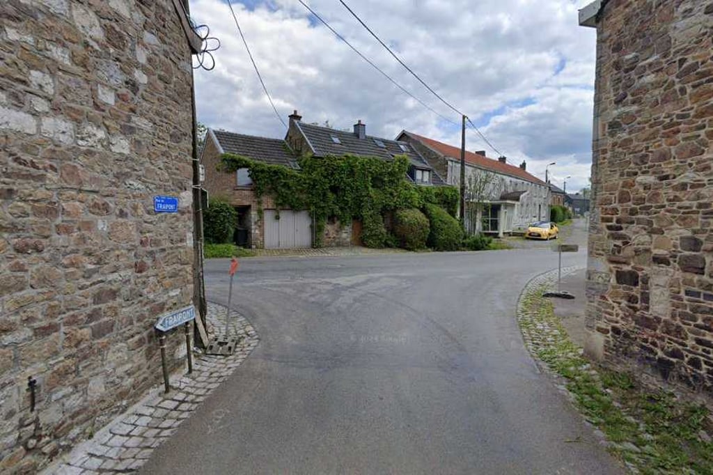
Road names: Rue de Fraipont, Rue Clairefagne & Rue de Fraipont
This is an automatic translation, the original language is: Dutch.
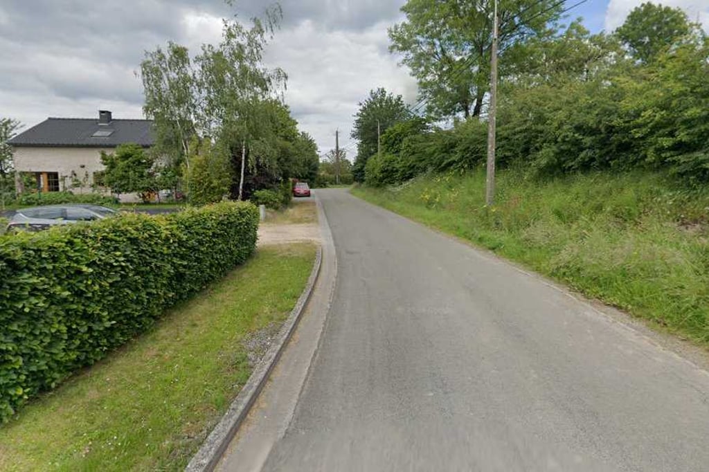
A fun and gentle climb that never gets too crazy and is nice cycling. First you ride through a nice wide landscape and pedal slowly up. Then you enter the built-up area and at some point you can go up steeper left (you don't do that on this climb). In the village it's still quiet but a bit harder. Definitely a fun and friendly climb to include in your route 7/10...read more
Photos (6)
Welcome! Please activate your account if you would like to share something. Look for the verification email in your inbox.
This is an automatic translation, the original language is: Dutch.
Show original
A fun and gentle climb that never gets too crazy and is nice cycling. First you ride through a nice wide landscape and pedal slowly up. Then you enter the built-up area and at some point you can go up steeper left (you don't do that on this climb). In the village it's still quiet but a bit harder. Definitely a fun and friendly climb to include in your route 7/10
Een leuke en rustige beklimming die nergens te gek wordt en lekker fietst. Eerst rijd je door een mooi weids landschap en trap je rustig omhoog. Daarna kom je in de bebouwing en kun je op een gegeven moment steiler links omhoog (dat doe je bij deze beklimming niet). In het dorpje is het alsnog rustig maar wel iets zwaarder. Zeker een leuke en vriendelijke klim om in je route op te nemen 7/10
This is an automatic translation, the original language is: Dutch.
Show original
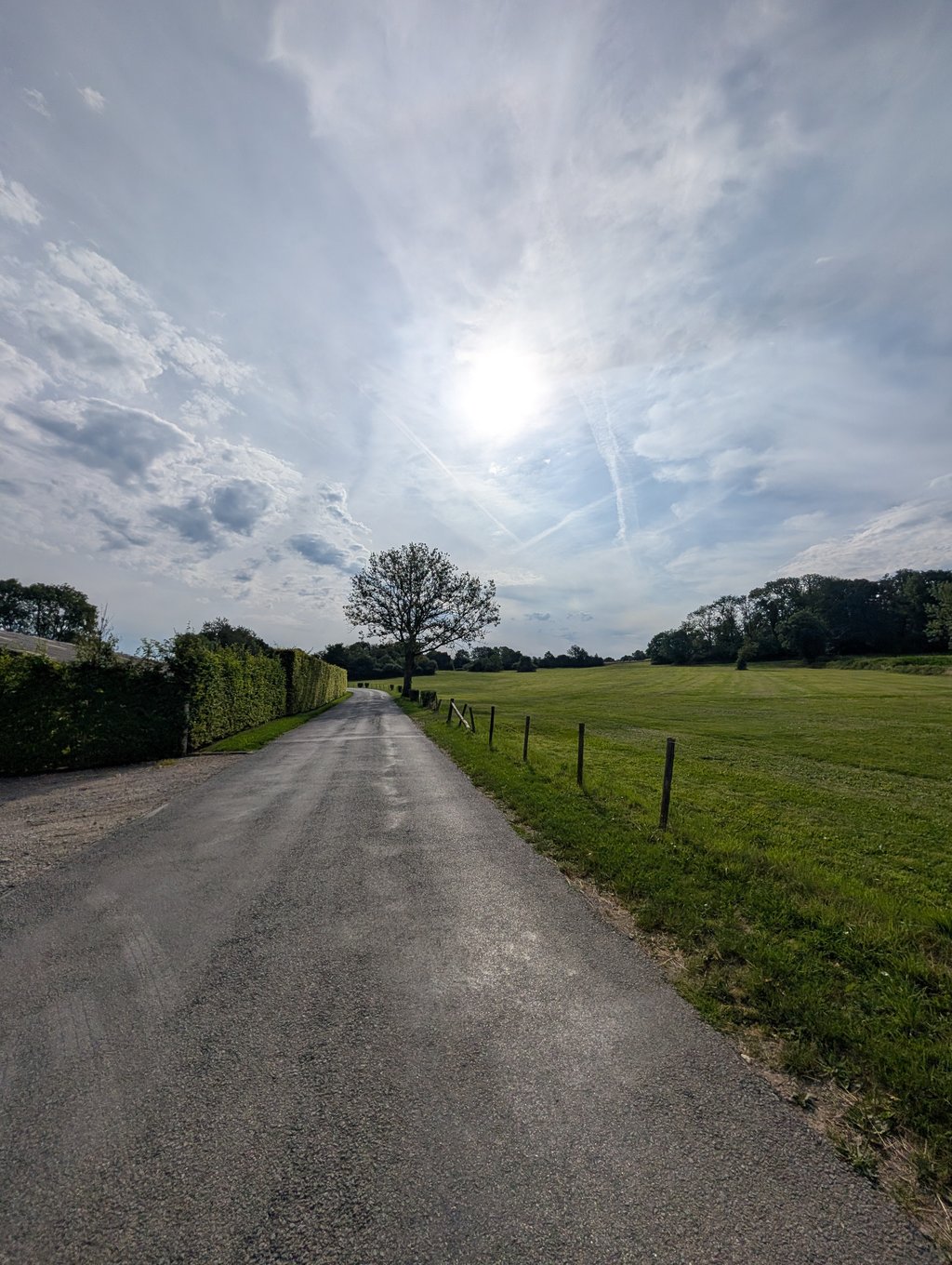
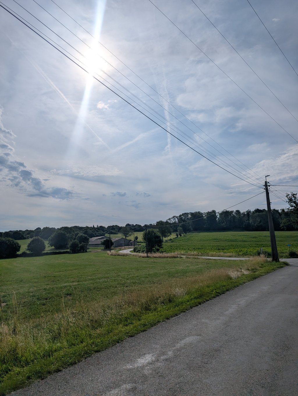
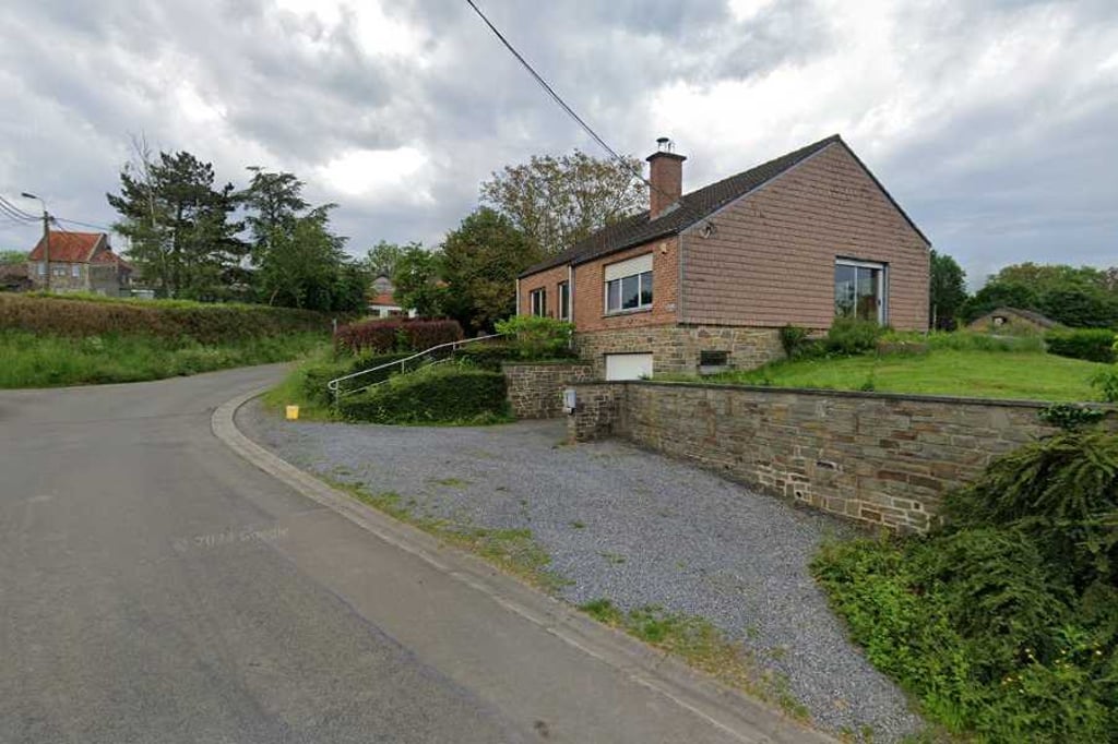
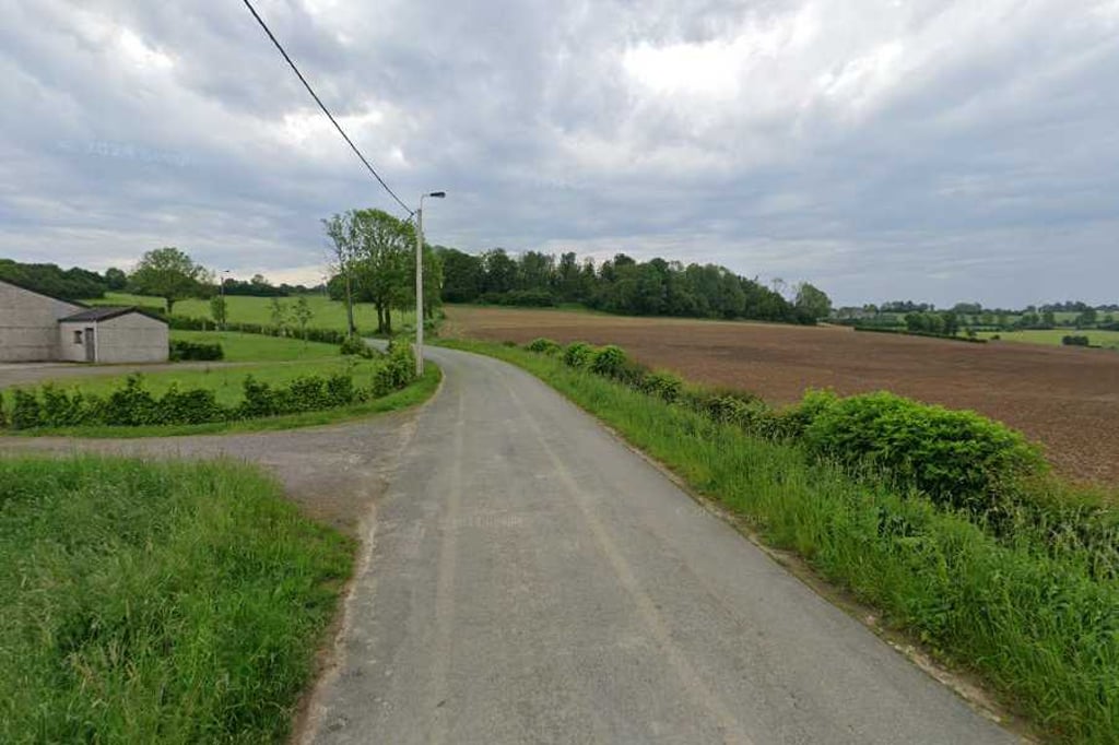
Nice and not too difficult climb with fluctuating gradients on the north side of Banneux. You can reach the start of the climb on Rue de Fraipont via Rue de Doyard from Fraipont or Louveigné. The climb starts just before two agricultural barns on the left of the road. You ride in a rural setting.
Leuke en niet te moeilijke klim met fluctuerende stijgingspercentages aan de noordkant van Banneux. Je kan het begin van de klim op Rue de Fraipont bereiken via Rue de Doyard vanuit Fraipont of Louveigné. De klim begint net voor twee landbouwschuren links van de weg. Je rijdt in een landelijke omgeving.
You don't need special gearing for Banneux. The slope isn't long or steep enough to require much shifting down. You can conquer this climb on power alone. However, a compact gearing system with a smallest front chainring of 34 and largest rear sprocket of 28 or 30 is always nice if you enjoy cycling uphill. This helps maintain a smooth cadence.
Banneux falls into the 5th category. With good fitness, you can ride it up with speed and power. If you have less training, shift down and climb smoothly.
Banneux is 1.4 km long.
The average gradient of Banneux is 4.4%.
Banneux has a steepest segment with an average gradient of 6.6%.
The summit of Banneux is at 306 m.
At a slow pace of 7 km/h, it takes about 00:11:41 to climb Banneux. At 11 km/h the time is 00:07:26, and at 15 km/h 00:05:27. For the fastest cyclists, 00:04:18 is an achievable time.