| Famous climb |
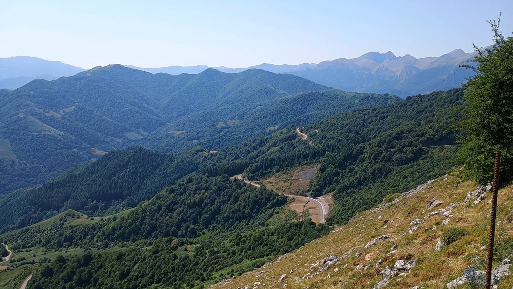
| Beautiful scenery |
| 3 hairpin turns |
| #32 toughest climb of Spain |
| #77 most elevation gain of Spain |
| #86 longest climb of Cantabrian Mountains |
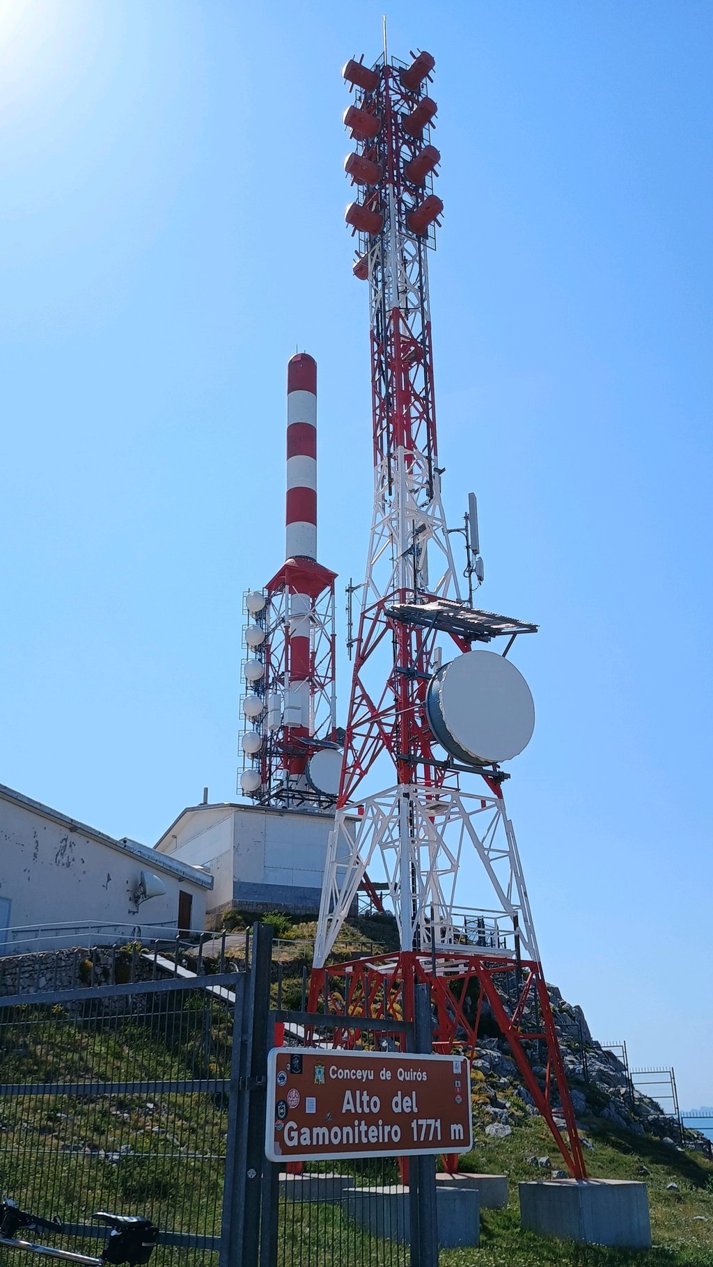
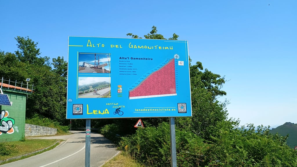
Altu d'El Gamoniteiru / Alto Gamoniteiro via Llanuces is a climb in the region Asturias. It is 15.6 km long and bridges 1321 m of vertical ascent with an average gradient of 8.5%, resulting in a difficulty score of 1303. The top of the ascent is located at 1771 m above sea level. Climbfinder users shared 2 reviews of this climb and uploaded 4 photos.
Road name: Carretera de Bárzana a Pola de Lena
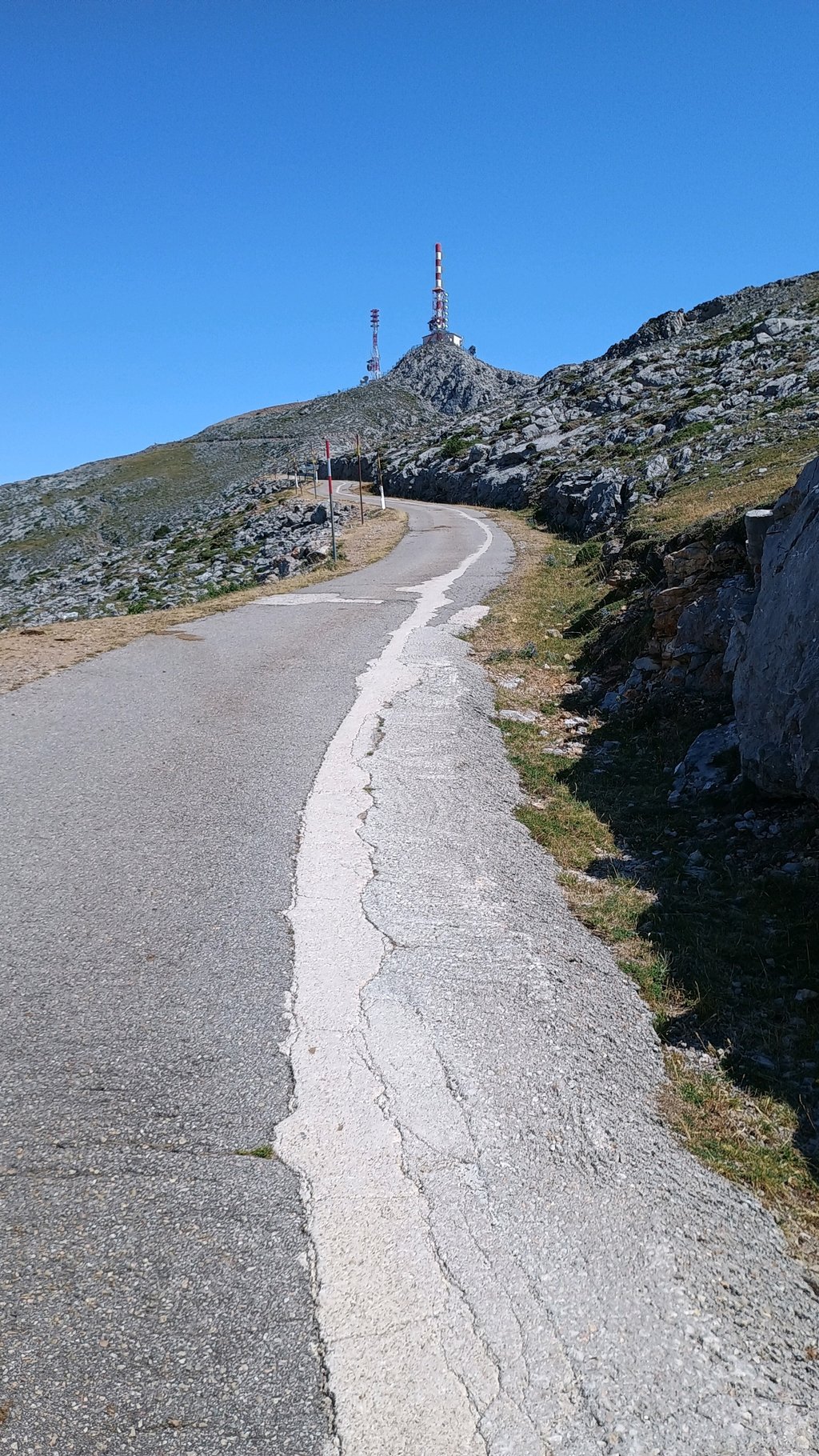
5.0 by FlatbarsThe top section of this climb, once away from the (quiet) main road has to be one of my favourite climbs ever! The main road is a steady trudge on smooth tarmac, bagging you another summit - alto de la Cobertoria - before a km of slight downhill and a left turn for the main event! This sliver of road twists it's way up the hillside, with glimpses of the mast at the summit every now and then. It gets progressively steeper and the road surface is now broken in places. Stunning views all around and... read more
Welcome! Please activate your account if you would like to share something. Look for the verification email in your inbox.
If you want to upload your photos, you need to create an account. It only takes 1 minute and it's completely free.
The top section of this climb, once away from the (quiet) main road has to be one of my favourite climbs ever! The main road is a steady trudge on smooth tarmac, bagging you another summit - alto de la Cobertoria - before a km of slight downhill and a left turn for the main event! This sliver of road twists it's way up the hillside, with glimpses of the mast at the summit every now and then. It gets progressively steeper and the road surface is now broken in places. Stunning views all around and once the full view of the mast is in front of you, it's slightly brutal to the top! Simply stunning 😎. And a quick word about the descent! The minor road part is ok, you just need to keep an eye out for the odd pothole or cow! Once on the main road, it's like lightning as the surface is totally smooth and the bends are well designed to take at speed.
This col mapg can safely be called a juggernaut of the highest order. Beautiful scenery, decent road surface and almost no traffic. But beware because on average it's 8.5 % but don't forget yourself road has a km slightly downhill and then more than 500 barely uphill. This means that for the rest you're constantly facing gradients of 10% with peaks of up to 15%. But throughout almost the entire climb you are treated to fantastic views of fantastically beautiful scenery. If you are in the area, definitely worth a big diversions.
Deze col mapg je gerust een kanjer van de bovenste plank noemen. Een prachtig decor, behoorlijk wegdek en haast geen verkeer. Maar pas want gemiddeld wel 8, 5 % maar vergeet niet je halfweg een km licht bergaf hebt en daarna nog meer dan 500 amper oplopend. Dit betekent dat je voor de rest constant met stijgingspercentages van 10% zit met pieken tot 15%. Maar gedurende bijna de ganse klim wordt je wel getrakteerd op fantastische uitzichten op een fantastisch mooie omgeving. Als je in de buurt bent zeker een grote omweg waard. In de omgeving heb je nog verschillende van deze kanjers liggen.
| 7 km/h | 02:13:21 |
| 11 km/h | 01:24:52 |
| 15 km/h | 01:02:14 |
| 19 km/h | 00:49:08 |
This page is better in the app