|
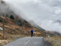
Fuerteventura
|
|
|
|
Pays des Collines
|
|
# 7
|
|
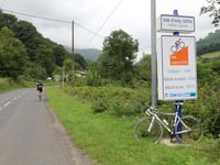
Belgian Picardy
|
|
|
|
Hainaut Province
|
|
# 7
|
|
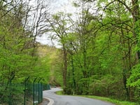
Pays de Liège
|
|
# 7
|
|
Flemish Ardennes
|
|
# 60
|
|
East Flanders
|
|
# 64
|
|
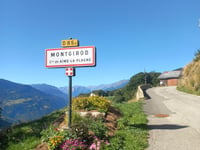
Vallées de la Burdinale et de la Mehaigne
|
|
# 11
|
|
Denderland
|
|
# 36
|
|
Gran Canaria
|
|
# 15
|
|
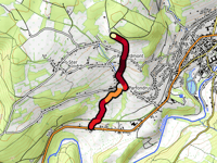
Wallonia
|
|
# 28
|
|
Canary Islands
|
|
# 18
|
|
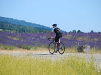
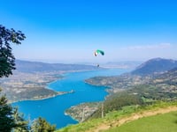
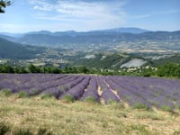
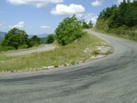
Provence
|
|
# 41
|
|
Belgium
|
|
# 53
|
|
Provence-Alpes-Côte d'Azur
|
|
# 50
|
|
Borinage and Center
|
|
# 16
|
|
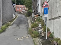
Liège Province
|
|
# 70
|
|
Pajottenland
|
|
# 38
|
|
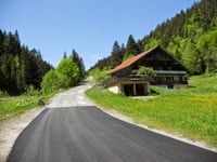
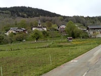
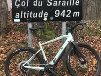
Cantal
|
|
# 17
|
|
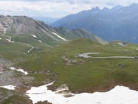
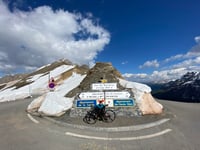
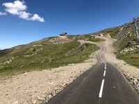
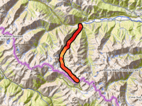
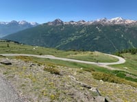
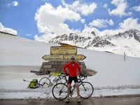
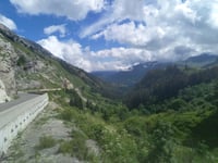
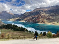
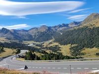
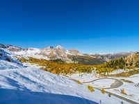
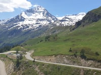
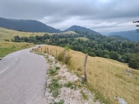
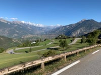
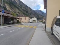
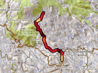
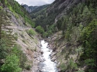
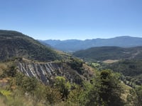
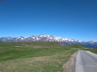
French Alps
|
|
# 76
|
|
Valleys of the Vesdre, de l'Amblève et de l'Ourthe
|
|
# 59
|
|
Flanders
|
|
# 109
|
|
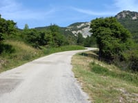
Drôme
|
|
# 31
|
|
Valleys of the Meuse, Sambre and Orneau
|
|
# 28
|
|
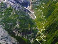
Tenerife
|
|
# 23
|
|
Aude
|
|
# 7
|
|
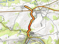
Condroz - Famenne
|
|
# 31
|
|
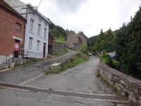
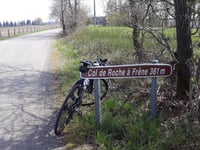
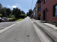
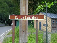
Belgian Ardennes
|
|
# 79
|
|
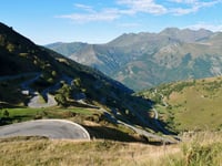
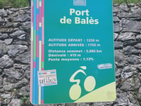
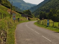
French Pyrenees
|
|
# 46
|
|
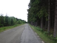
Ardennes
|
|
# 86
|
|
Auvergne
|
|
# 31
|
|
Pyrenees
|
|
# 51
|
|
Europe
|
|
# 126
|
|
Flemish Brabant
|
|
# 87
|
|
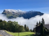
Alps
|
|
# 114
|
|
Walloon Brabant
|
|
# 37
|
|
Spain
|
|
# 57
|
|
France
|
|
# 123
|
|
Auvergne-Rhône-Alpes
|
|
# 89
|
|
Ardennes Brabançonnes
|
|
# 62
|
|
Occitania
|
|
# 51
|
|
Massif Central
|
|
# 44
|