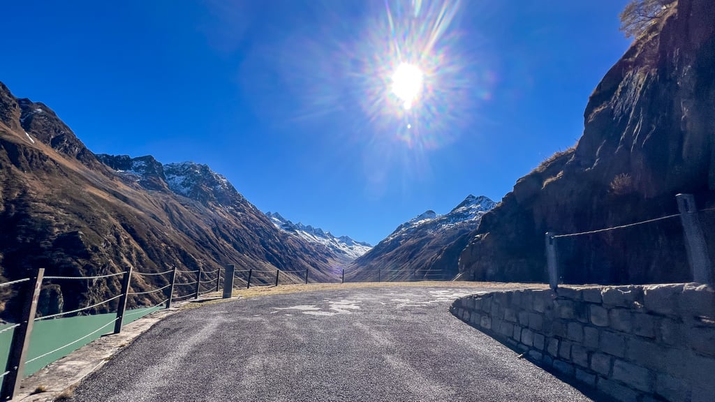
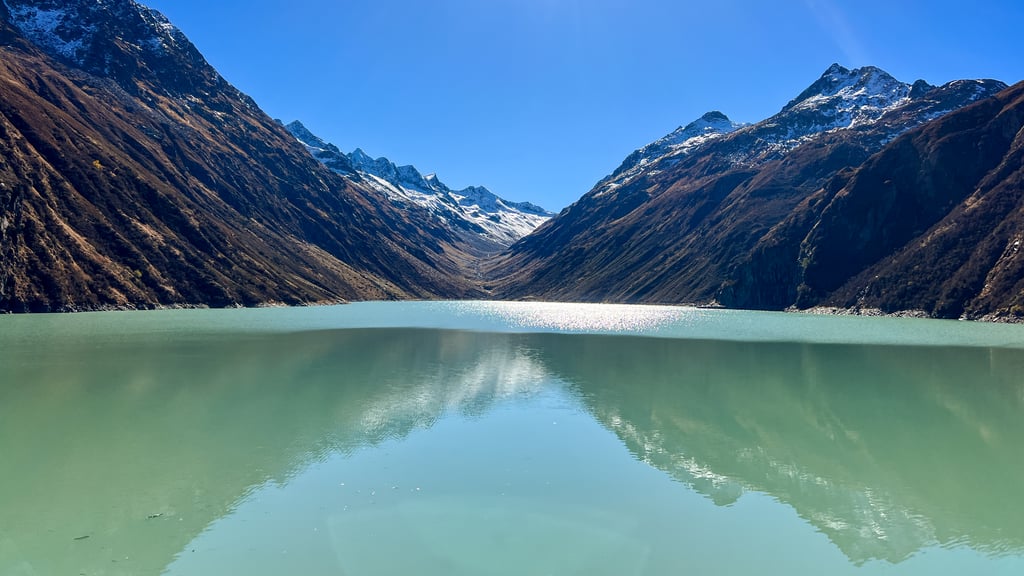
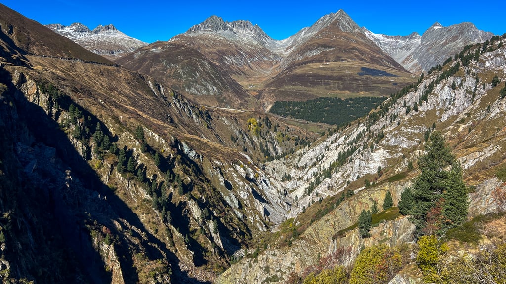
Lai da Curnera von Oberalppass / Cuolm d'Ursera ist ein Anstieg in der Region Graubünden. Die Strecke ist 3.6 km lang und überbrückt 214 m Höhenunterschied mit einem durchschnittlichen Gefälle von 5.9%. Der Anstieg erzielt so 169 Bergpunkte. Der höchste Punkt liegt auf 2044 m. Mitglieder der Climbfinder-Community haben 1 Bewertung zu diesem Anstieg geteilt und 8 Fotos hochgeladen.
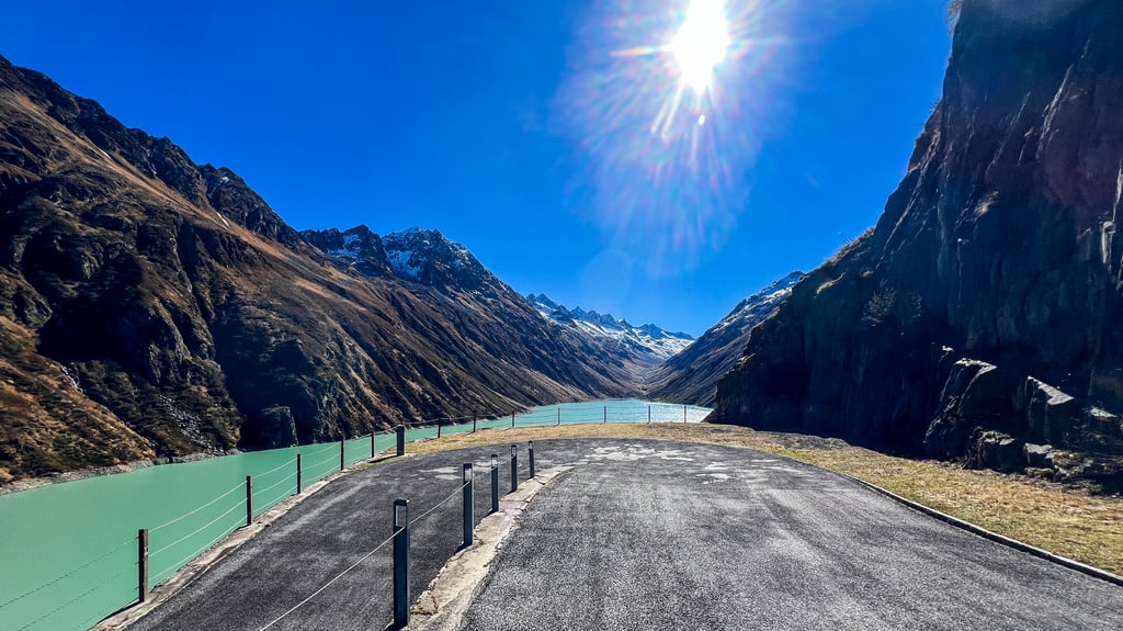
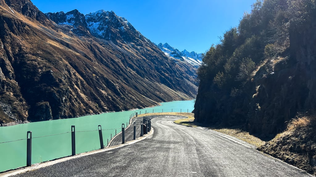
Officially, the road is closed to all vehicles from a barrier onwards. But as there is also a signposted bike path, we assume that it is permitted to ride on it. A wonderful, traffic-free road leading to the reservoir. Please note: from the highest point, you still have to ride down to the dam. You will also have to ride back up again on the way back.
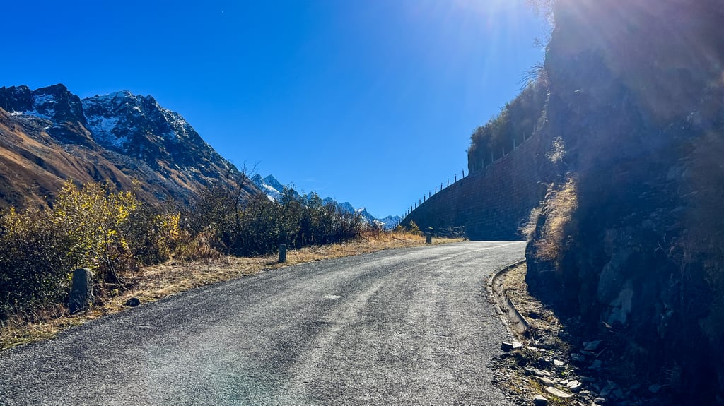
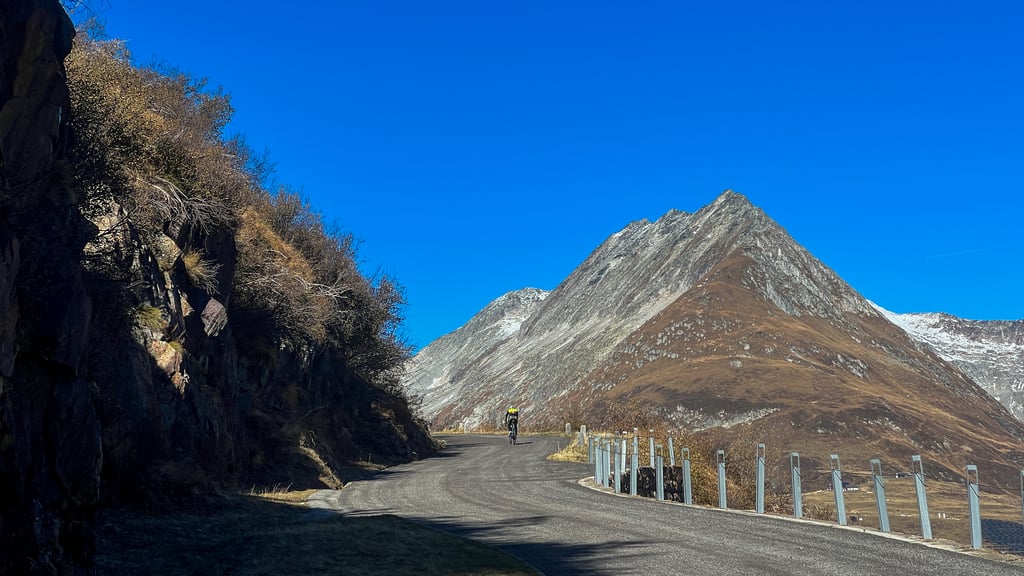
The asphalt is not perfect, but it is okay to ride on....weiterlesen
Fotos (8)
Willkommen! Aktiviere deinen Account und werde Teil der Community. Eine Bestätigung-E-Mail findest du in deinem E-Mail-Postfach.
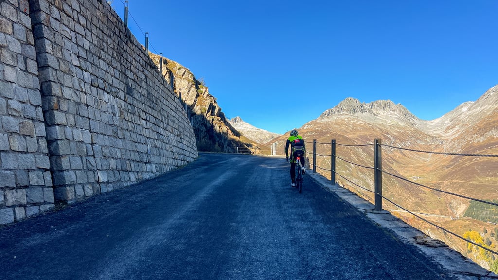
Officially, the road is closed to all vehicles from a barrier onwards. But as there is also a signposted bike path, we assume that it is permitted to ride on it. A wonderful, traffic-free road leading to the reservoir. Please note: from the highest point, you still have to ride down to the dam. You will also have to ride back up again on the way back.
The asphalt is not perfect, but it is okay to ride on.
Teile deine Erfahrung mit der Community. Wie bewertest du den Zustand der Straße?
Verkehr
100% 0% 0%
Basierend auf 2 Stimmen
Deine Erfahrung zählt! War die Strecke stark befahren?
Frequently Asked Questions
Für Lai da Curnera von Oberalppass / Cuolm d'Ursera wird keine spezielle Übersetzung benötigt. Die Steigung ist nicht lang oder steil genug, um viel schalten zu müssen. Diese Steigung kann mit Kraft bewältigt werden. Ein Kompaktsystem mit einem kleinsten Kettenblatt von 34 und einem größten Ritzel von 28 oder 30 ist jedoch immer angenehm, wenn Sie gerne bergauf fahren. So behält man eine gleichmäßige Trittfrequenz bei.
Lai da Curnera von Oberalppass / Cuolm d'Ursera ist ein Anstieg der 3. Kategorie. Fast jeder kann diesen Anstieg bewältigen, sofern ein Rad mit Bergübersetzung vorhanden ist. Wer wenig Training hat, muss wahrscheinlich stark herunterschalten. Für erfahrene Fahrer ist Lai da Curnera von Oberalppass / Cuolm d'Ursera kein Problem.
Lai da Curnera von Oberalppass / Cuolm d'Ursera ist 3.6 km lang.
Der durchschnittliche Steigungsprozentsatz von Lai da Curnera von Oberalppass / Cuolm d'Ursera beträgt 5.9%.
Lai da Curnera von Oberalppass / Cuolm d'Ursera hat 100 steilste Meter mit einer durchschnittlichen Steigung von 11.4%.
Lai da Curnera von Oberalppass / Cuolm d'Ursera erreicht 2044 m.
Bei einem langsamen Tempo von 7 km/h braucht man etwa 00:30:58 für den Aufstieg auf Lai da Curnera von Oberalppass / Cuolm d'Ursera. Bei 11 km/h beträgt die Zeit 00:19:42, und bei 15 km/h 00:14:27. Für die schnellsten Radfahrer ist 00:11:24 eine erreichbare Zeit.
Lai da Curnera von Oberalppass / Cuolm d'Ursera liegt in den Regionen [regions] in Schweiz.